Mapping Korea: Cadastral Records, Mountain Landscapes, and the Daedongyeojido
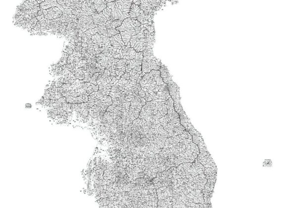
How Korean mapmaking combined administration, routes, regional knowledge, and distinctive cartographic traditions.
Stories by Subject
How maps represent, organize, and communicate geography: reading maps and plats, cartographic design, spatial evidence, historical maps, GIS, and imaginative cartography.
20 articles
How Korean mapmaking combined administration, routes, regional knowledge, and distinctive cartographic traditions.
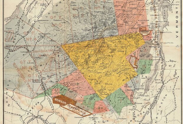
Maps have long been a symbol of human curiosity, exploration, and understanding of the world around us. From the earliest depictions of our surroundings etched into…
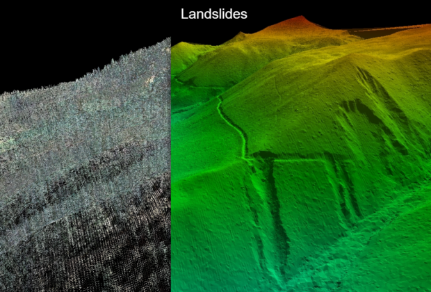
A point cloud can make a building transparent on screen and a forested hillside surprisingly legible. The fascination begins with laser ranging—and continues with the decisions…
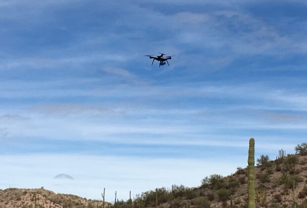
The aircraft gets the attention, but its real contribution is a useful view of the job. Drone mapping depends on the sensor, the observations, and what…
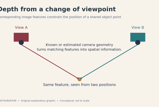
Move the camera, and an ordinary photograph gains a new kind of information. Photogrammetry turns those changes of viewpoint into models, maps, and measurements.
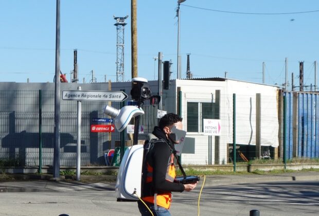
A scanner can now travel through a site while helping work out where it has been. Mobile mapping turns the route itself into part of the…
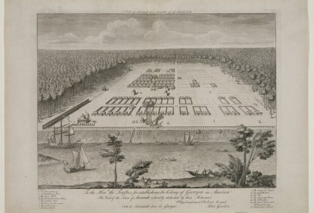
Savannah's squares and Manhattan's grid show how street plans organize more than traffic. They shape property, shared space, expansion, and the experience of city life.
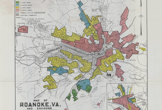
Four colors condensed neighborhood appraisals into a striking map. Understanding redlining requires reading those grades alongside discriminatory policy, lending history, and the people beyond the files.
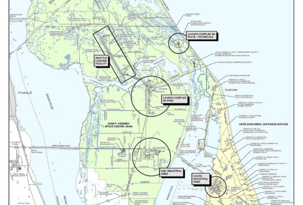
A place name helps us find a location, but it also records a human decision. Historical NASA maps and geographic names records reveal the layers of…
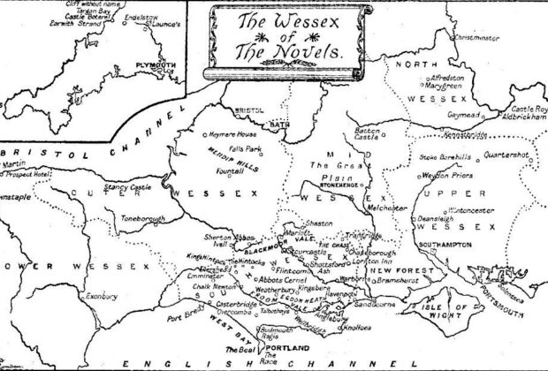
Treasure Island and Thomas Hardy's Wessex show how maps do more than decorate a novel: they shape journeys, livelihoods, and the choices available to its characters.