Featured Story
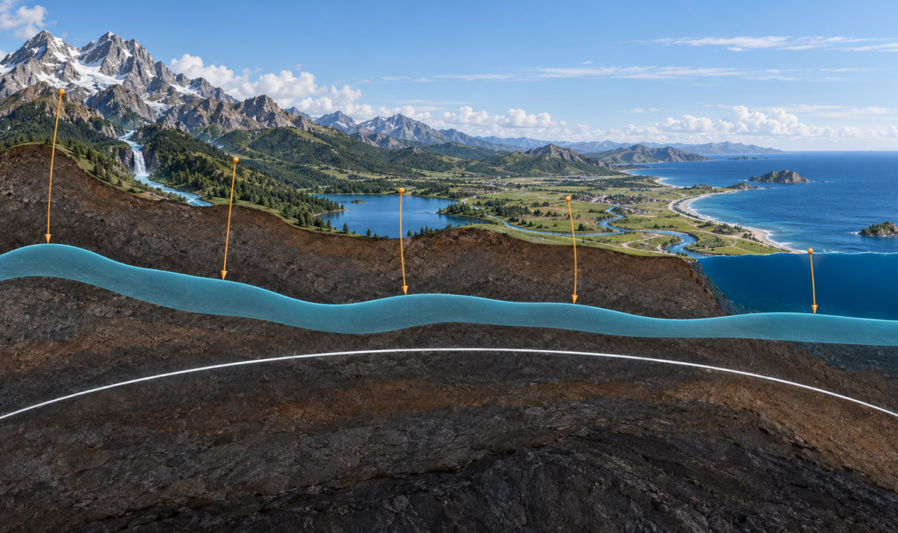
Why Elevation Follows Gravity: The Geoid Beneath Every Height
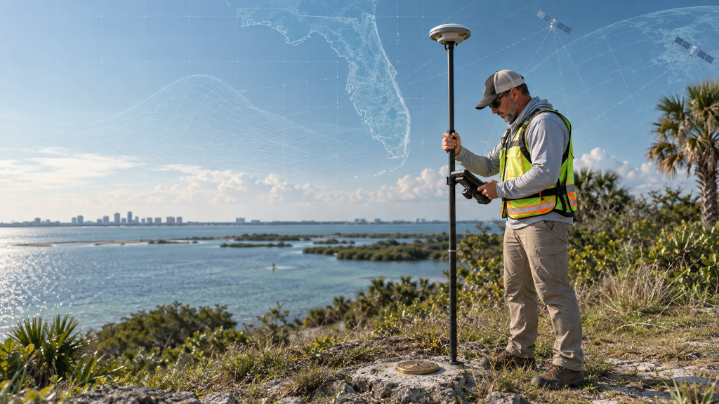
GNSS measures height above a mathematical ellipsoid, but practical elevation depends on gravity, the geoid, and a physical definition of level.
Read ArticleStories by Subject
Discover how we determine position, distance, height, gravity, and time, and what those measurements reveal about Earth and the worlds beyond it.
11 articles
Featured Story
GNSS measures height above a mathematical ellipsoid, but practical elevation depends on gravity, the geoid, and a physical definition of level.
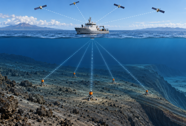
Read ArticleSatellites cannot reach through seawater, so marine geodesists combine GNSS at the surface with acoustic ranging below to measure tectonic motion on the deep ocean floor.
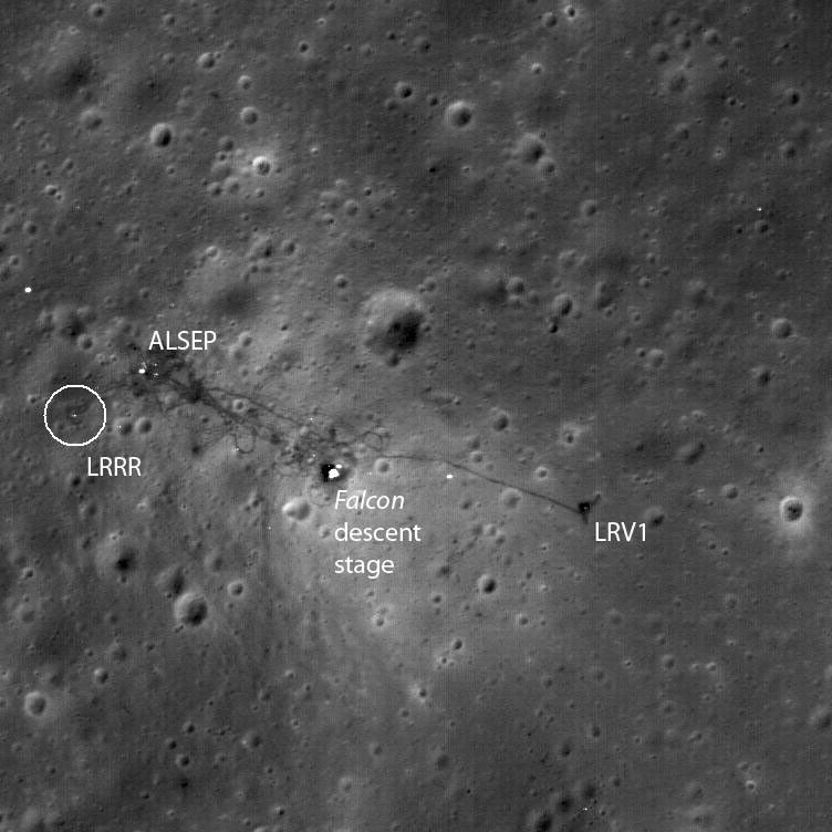
How Apollo-era retroreflectors let observatories measure the Moon, test gravity, and strengthen lunar reference frames.
An entry-level, field-to-office guide to NATRF2022, NAPGD2022, SPCS2022, epochs, height modernization, and preparing survey workflows for the modernized National Spatial Reference System.
How NAD 83 evolved through the 1986 adjustment, 83/90-era networks, HARN, FBN, CORS96, NSRS2007, and NAD 83(2011)—and how NAVD 88 replaced NGVD 29.
From colonial metes-and-bounds surveys and Mason and Dixon to the Coast Survey, U.S. Standard Datum, NAD 27, State Plane coordinates, and NGVD 29.
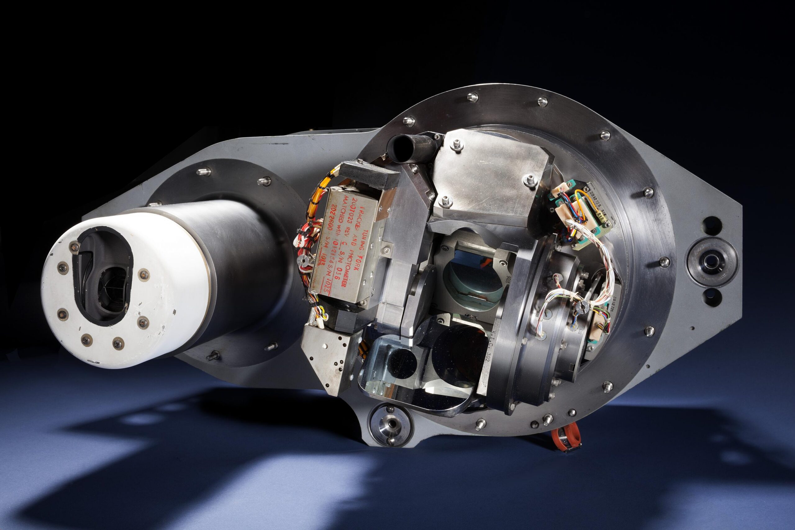
How inertial platforms, optical observations, radio tracking, maps, and reference frames guided Apollo between Earth and Moon.
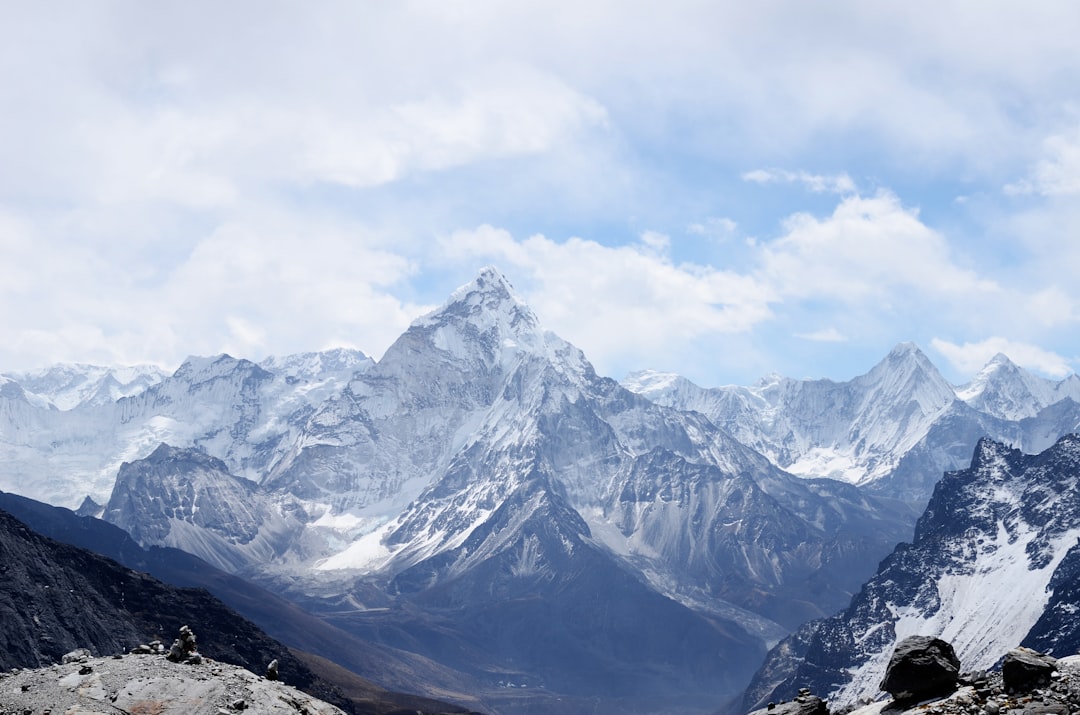
Why modern Everest measurements depend on GNSS, gravity, snow depth, reference frames, and a clear definition of height.
The distant observations, calculations, corrections, and people behind the first accepted height of the world’s highest mountain.
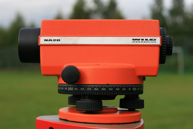
Establishing height has always required a definition of level, a reliable sight line, and a path of observations strong enough to reveal accumulated error.