Featured Story
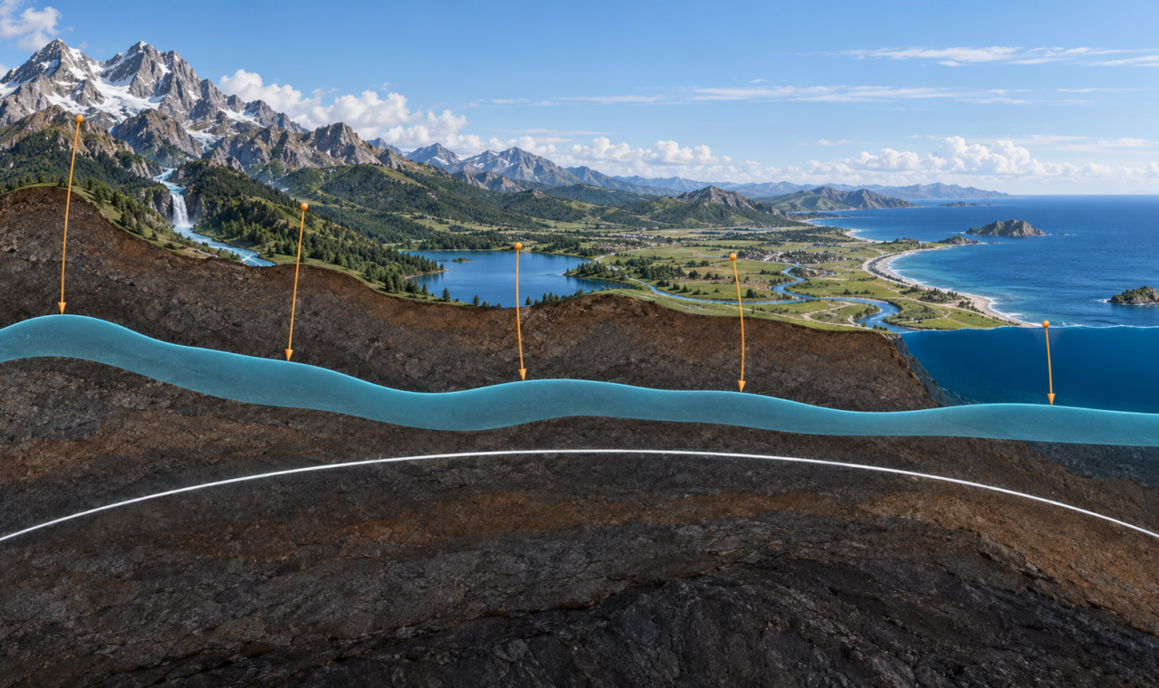
Why Elevation Follows Gravity: The Geoid Beneath Every Height
GNSS measures height above a mathematical ellipsoid, but practical elevation depends on gravity, the geoid, and a physical definition of level.
Read ArticleStories by Subject
A surveyor's view of terrain, geology, water, weather, forests, ice, and changing environments, with stories of conservation and the natural world.
5 articles
Featured Story
GNSS measures height above a mathematical ellipsoid, but practical elevation depends on gravity, the geoid, and a physical definition of level.
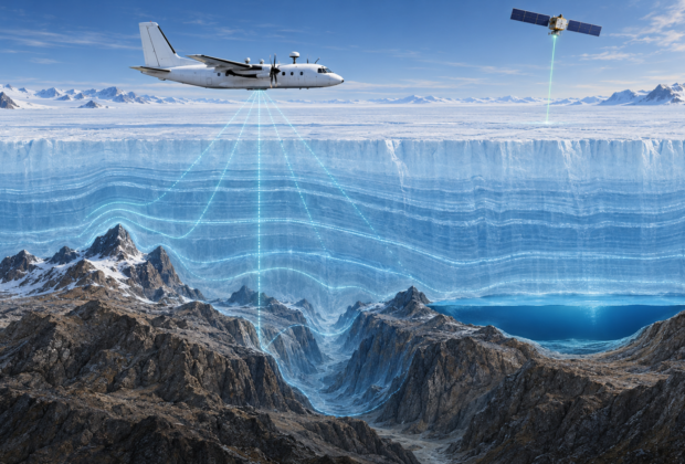
Read ArticleAirborne radar, satellite altimetry, GNSS, gravity, and decades of field surveys reveal the mountains, canyons, lakes, and basins concealed beneath continental ice.
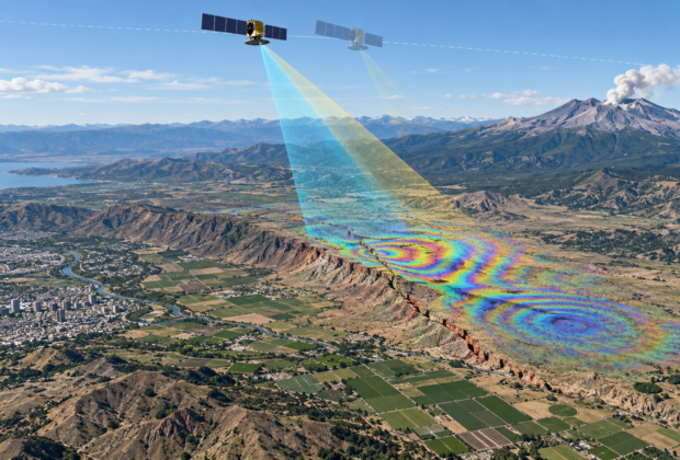
By comparing the phase of repeated radar observations, InSAR can reveal earthquake deformation, volcanic inflation, subsidence, and other surface motion across entire regions.
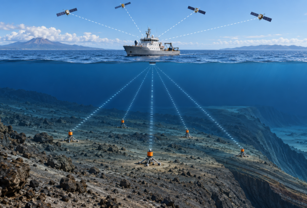
Satellites cannot reach through seawater, so marine geodesists combine GNSS at the surface with acoustic ranging below to measure tectonic motion on the deep ocean floor.
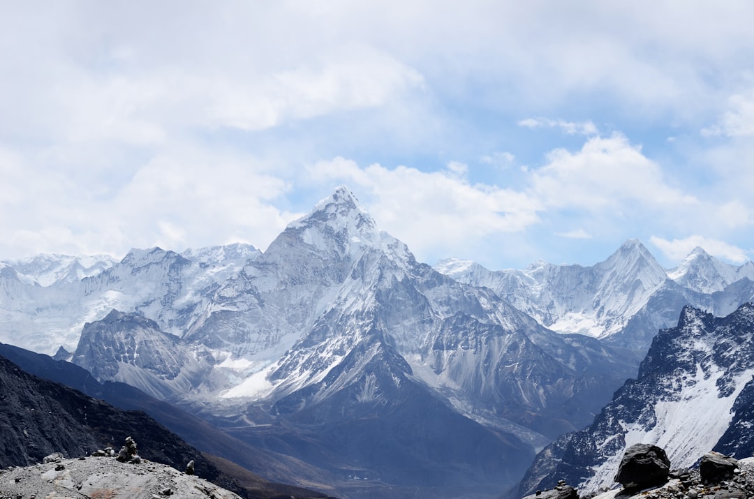
Why modern Everest measurements depend on GNSS, gravity, snow depth, reference frames, and a clear definition of height.