
The Lost Surveyor
About
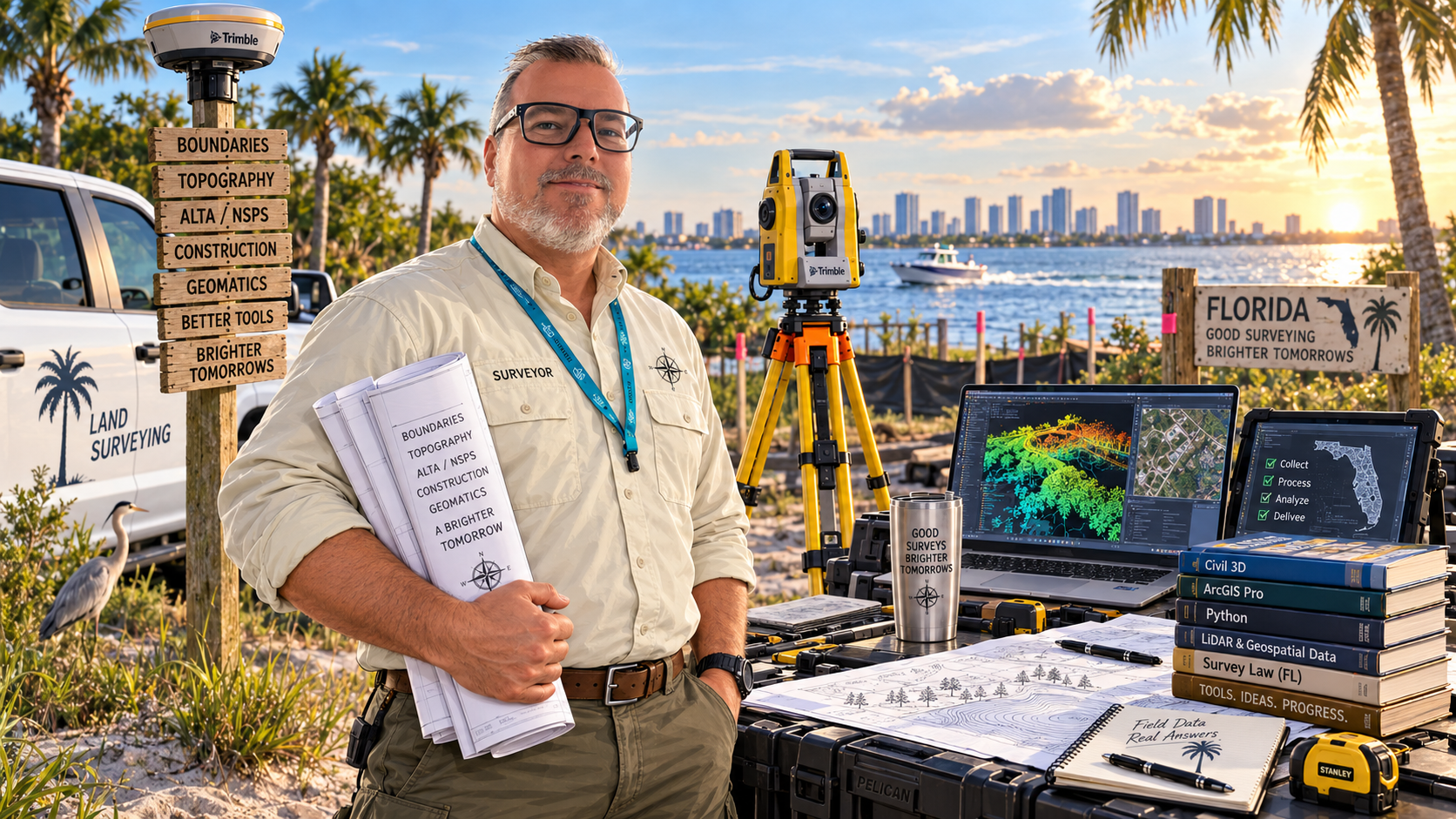
Joseph Beckman and The Lost Surveyor
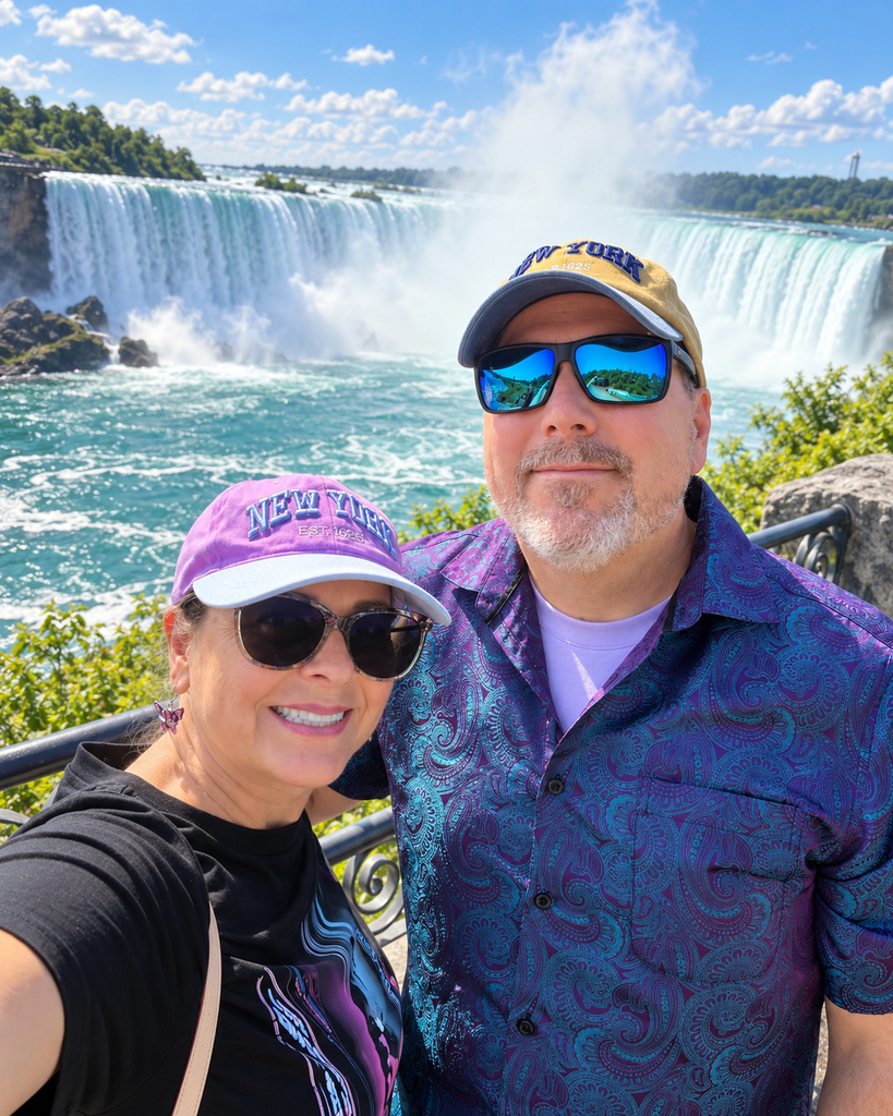
I’m Joseph Beckman, a land surveyor and geomatics professional living and working in the Tampa metropolitan area. Surveying is my profession, but it is also the lens through which I see the world. I never considered myself a history buff growing up, but through years of dilligent research “walking in the footsteps of my predecessors” I’ve found a unique interest in the history of the world around us. How man has tried to measure it has left indellible marks on the landscape, governments and the cultures that have existed over time.
The Lost Surveyor is where I explore those interest, spend time getting to know the small details that may not matter to anyone but me; but matter they do. The Lost Surveyor is a journal about the people who measured the world, the instruments they carried, the records they created, and the modern systems that allow us to assign reliable coordinates to places ranging from a property corner in Florida to a reflector on the Moon.
Why “The Lost Surveyor”?
Anyone who has worked in the field knows that getting a little lost can be productive. It may mean following an old fence line through palmettos, looking for a monument described by someone who last visited the site generations ago, or tracing the history of a coordinate through several datums and adjustments. Surveyors spend much of their working lives recovering connections: between records and evidence, measurements and decisions, the past and the present.
The name also leaves room to wander. This site is not limited to Florida practice or boundary surveying. It follows surveying and geomatics wherever the subject leads—ancient land measurement, hydrographic charting, geodesy, railroad and canal construction, celestial navigation, photogrammetry, GNSS, remote sensing, cadastral systems, unusual instruments, notable mistakes, professional humor, and the occasional mystery found in an old plat.
What You’ll Find Here
Surveying’s history is filled with ambitious projects, fascinating people, and journeys across challenging landscapes. Whether you’re a surveyor or simply enjoy a good story, you’ll find plenty to explore here. An undertaking like the Great Trigonometrical Survey brings together mountain expeditions, ingenious instruments, competing interests, and discoveries with lasting consequences. We explain the technical details along the way while keeping the people and their experiences at the heart of the story.
You’ll also find articles about how surveying is changing today. From new reference frames and geoid models to satellite positioning, laser scanning, and drones, there’s always something new to understand. These stories explore what those developments mean, why they matter, and how they affect the work surveyors do in the field and office.
Maps, photographs, and original documents help bring both the past and present into view. Wherever possible, we draw historical illustrations from public-domain and openly licensed collections held by libraries, archives, museums, universities, and public agencies. Captions, credits, and source links give these images their context, acknowledge the people and institutions behind them, and offer a starting point for readers who want to explore further.
A Florida Perspective, with a Wide Horizon
Working in the Tampa area means dealing with a landscape shaped by water, growth, transportation, weather, and layers of recorded development. Florida provides plenty of material for future stories—from Spanish land grants and coastal charting to subdivision plats, elevation work, hurricanes, and the practical realities of surveying in heat, sand, wetlands, and dense urban corridors.
But surveying has always been international. The history of measurement passes through the Nile Valley, Mesopotamia, Rome, China, India, Japan, the oceans, the Himalayas, the Panama Canal, the American railroads, launch complexes, and the Moon. The Lost Surveyor follows that larger history while keeping one boot planted in Florida.
Editorial Notes and Corrections
This is an independently produced site. Articles distinguish documented facts from interpretation, link to authoritative or primary sources when available, and identify image licenses or repository rights statements. Historical surveying is inseparable from questions of land ownership, colonial administration, displacement, and political power; those subjects are treated as part of the history rather than edited out of it.
Surveying records can also be complicated, incomplete, or misunderstood. If you find an error, have a better primary source, recognize an unidentified instrument, or can add useful context, please use the Contact page. Corrections are welcome. Nothing on this site replaces a professional survey, legal advice, controlling statutes, agency guidance, or the judgment of a surveyor familiar with the project and jurisdiction.