Surveying the Highest Peak, Part 3: GPS, Geoids, Snow, and the Modern Height of Everest
Why modern Everest measurements depend on GNSS, gravity, snow depth, reference frames, and a clear definition of height.
Stories by Subject
The principles and reference systems behind position, distance, elevation, gravity, and time: datums, reference frames, geodesy, and what measurements mean on Earth and beyond.
18 articles
Why modern Everest measurements depend on GNSS, gravity, snow depth, reference frames, and a clear definition of height.
The distant observations, calculations, corrections, and people behind the first accepted height of the world’s highest mountain.
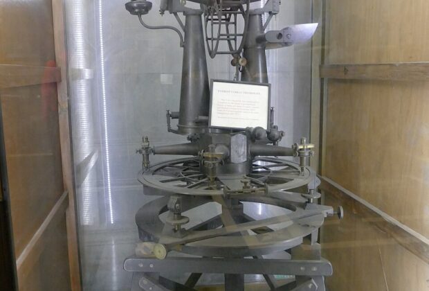
How baselines, giant theodolites, triangulation, and an immense field organization carried a geodetic network across India.
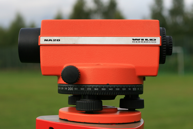
Establishing height has always required a definition of level, a reliable sight line, and a path of observations strong enough to reveal accumulated error.
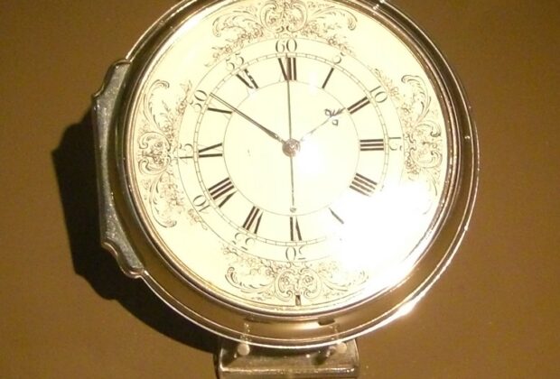
How John Harrison’s marine timekeepers turned reference time into a practical east-west position at sea.
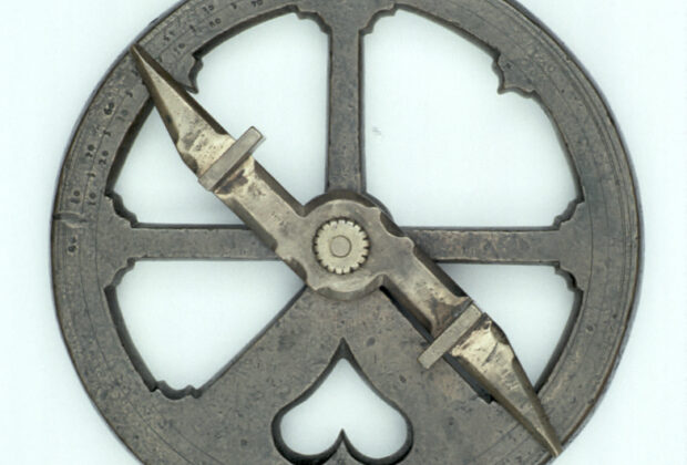
How latitude, dead reckoning, soundings, and disciplined observation guided sailors before dependable longitude.
The receiver on a survey pole is listening to a remarkable conversation about time. Here is how satellite signals become useful positions—and why the last word…
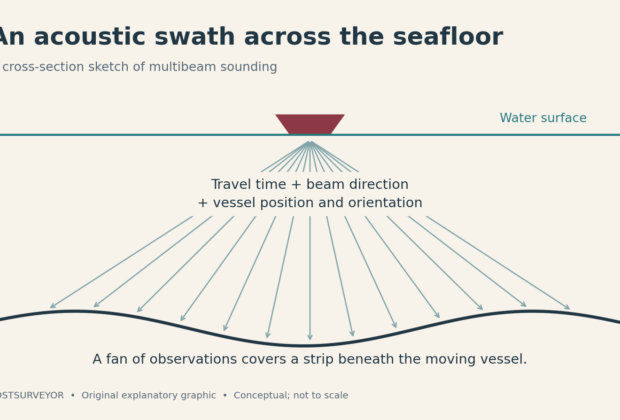
A boat can cross a complicated landscape without anyone on deck seeing it. Multibeam sonar turns returning echoes into a picture of that hidden terrain.