

Measuring the World
Surveying the Highest Peak, Part 2: How Peak XV Became Mount Everest
The distant observations, calculations, corrections, and people behind the first accepted height of the world’s highest mountain.
On This Page
- 01 — Introduction
- 02 — First, Be Sure It Is the Same Peak
- 03 — Then Turn the Vertical Angle Into Height
- 04 — A Closer Look: Distance Changes the Answer
- 05 — The Sightline Travels Through Air Above a Curved Earth
- 06 — The Computing Office Was Part of the Survey
- 07 — A Measured Height and a Chosen Name
- 08 — Why a Later Height Can Be Different
- 09 — Sources and Further Reading
Series: Surveying the Highest Peak
An angle to a snowy summit does not tell you its height. The same angle can point to a low hill nearby or a great mountain far away. When the Great Trigonometrical Survey investigated Peak XV, the decisive work was connecting distant observations to known stations, then turning that geometry into a height.
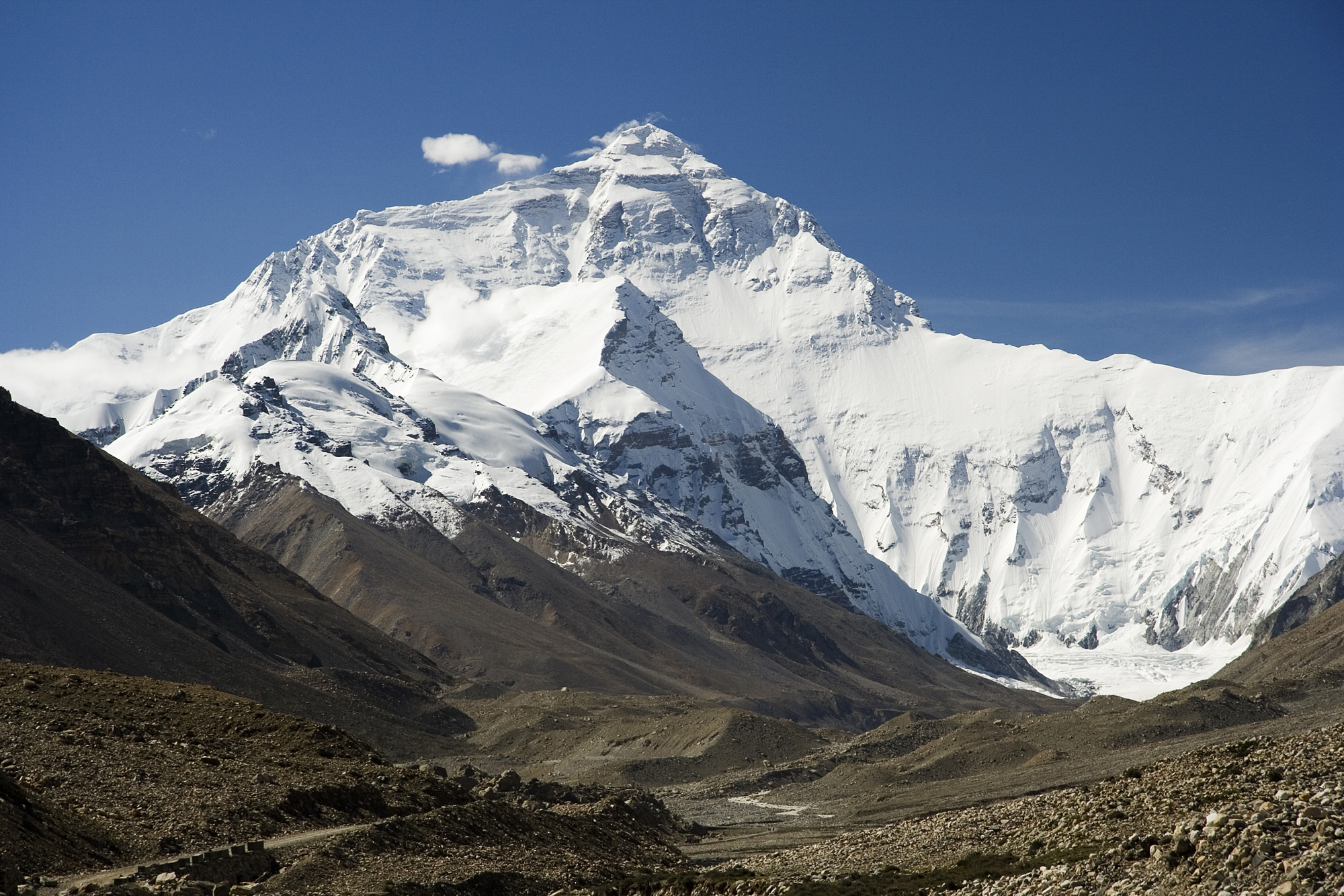
Luca Galuzzi (www.galuzzi.it). CC BY-SA 2.5. Source. Resized by WordPress.

In 1856, Andrew Waugh announced a value of 29,002 feet (about 8,840 meters) and proposed naming the peak after his predecessor, George Everest. The Library of Congress account places that announcement in the history of mapping the mountain. The number was a computed result, not a tape stretched from sea level to the summit.
First, Be Sure It Is the Same Peak
The Himalayan skyline presents overlapping ridges and summits. Observations from different places change their apparent order and separation. A surveyor must establish that two sightlines reach the same target before combining them. Otherwise, a neat intersection can be built from observations that describe different mountains.
Horizontal angles from known stations locate the target in plan. That location supplies the distances needed for the height calculation. The height problem therefore rests on the horizontal survey, even though the dramatic quantity is vertical.
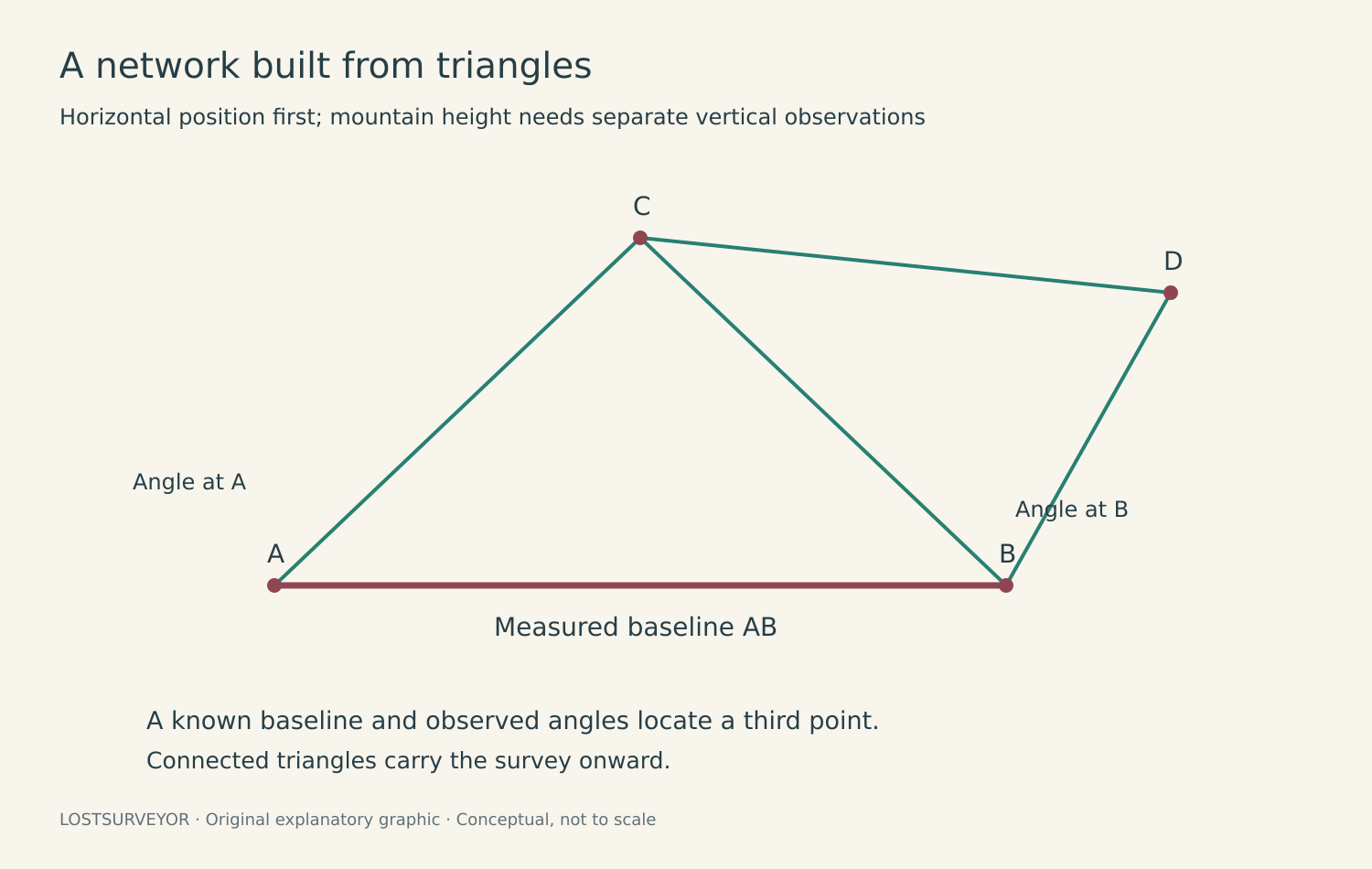
Original LostSurveyor explanatory graphic. CC BY 4.0. Background reading. Conceptual, not to scale.
Then Turn the Vertical Angle Into Height
In a small, flat-Earth example, height difference is horizontal distance multiplied by the tangent of the elevation angle. Add the instrument’s elevation and account for the target being observed, and the calculation gives a height. The principle is straightforward; at Himalayan distances, the corrections are not small details.
A Closer Look: Distance Changes the Answer
Suppose a target lies 10,000 feet (3,048 meters) horizontally away at an elevation angle of 5 degrees. Ignoring Earth curvature and refraction for this illustration, it stands about 875 feet (267 meters) above the instrument’s horizontal plane. If the distance is wrong by 100 feet (30.5 meters), the computed rise changes by about 8.75 feet (2.67 meters), even with a perfect angle. This is why locating the summit horizontally is part of measuring its height.
The Sightline Travels Through Air Above a Curved Earth
A horizontal line at the observing station is tangent to the local reference surface; it does not follow Earth around toward the mountain. Curvature must therefore be included when relating the distant target to that surface. Light also bends as it crosses air with changing refractive properties. The apparent direction through a telescope is not necessarily the straight geometric direction to the summit.
Refraction is especially troublesome because conditions vary along a long path that the surveyor cannot sample at every point. Repeated observations from different stations help expose inconsistent results, but agreement alone does not guarantee that all observations are free of a shared systematic effect. The published height depends on the adopted corrections as well as the measured angles.
The Computing Office Was Part of the Survey
Radhanath Sikdar, an Indian mathematician, became Chief Computer under Waugh in 1851. The Royal Society’s archival history credits his calculations with establishing Peak XV as the highest mountain. “Computer” here names a person doing mathematical work, not a machine.
The office had to reconcile observations, reduce angles, apply corrections, and carry the results into a consistent system. That labor was as necessary as the fieldwork. Retelling the story as a single inspired sight through a telescope misses the place where the summit’s significance became numerically clear.
A Measured Height and a Chosen Name
Waugh’s naming proposal expressed the authority of a colonial surveying institution. His argument that he could not reliably identify a local name should be understood as a limitation of his access and knowledge, not evidence that the mountain meant nothing or had no names to the people of the region. Sagarmatha and Chomolungma remain part of its identity.
Why a Later Height Can Be Different
A new instrument, closer observations, a different vertical reference, or a different treatment of the snow surface can change the adopted height. That does not make the earlier work meaningless. It tells us which parts of the measurement have improved or changed definition.
Peak XV became remarkable because a network made it comparable with other mountains. The next installment reaches the summit with modern equipment, where the question becomes more subtle again: exactly which surface is being measured, and above what reference?
Sources and Further Reading
USGS: Procedures and Best Practices for Trigonometric Leveling
Library of Congress: The Highest Point From Sea Level