

Maps & Mapping
Ferdinand Rudolph Hassler: A Swiss Immigrant’s American Coast
Stranded abroad by war and sidelined at home by Congress, Ferdinand Hassler kept pursuing a coast survey that would help shape American mapmaking.
On This Page
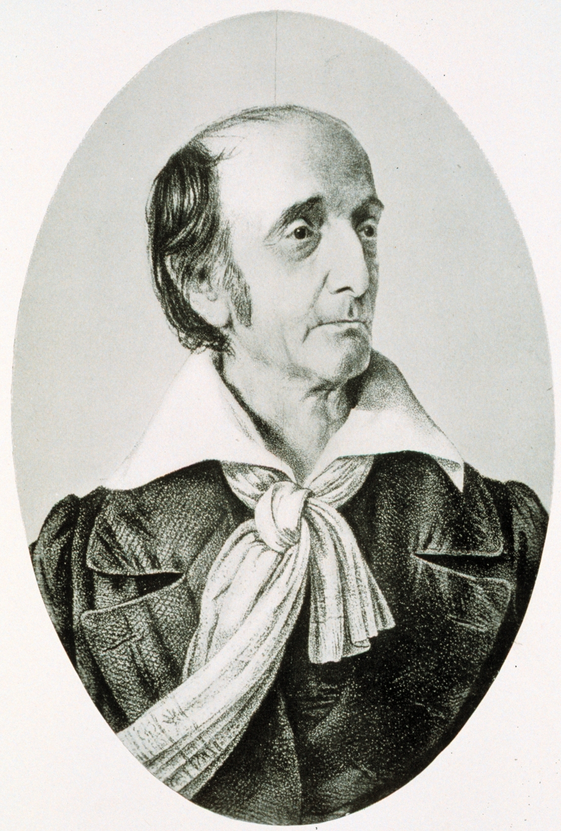
Ferdinand Rudolph Hassler went to England to obtain surveying instruments. He ended up staying through a war. When he finally returned to the United States and began the coastal work those instruments were meant to support, Congress interrupted it. The founder of America’s Coast Survey had a career in which simply getting to the field could become an epic undertaking.
His story has the makings of an immigrant adventure: ambitious plans, a demanding new country, long delays, and a late return to the work that would define his name. Behind it all was a practical concern familiar to anyone who has watched a ship approach an unfamiliar shore. Mariners needed a better picture of the coast.
NOAA historical collection, via Wikimedia Commons. Public domain. Source.

An Ambitious Arrival
Hassler arrived in Philadelphia in 1805, bringing experience from his native Switzerland. He also brought a remarkable library. NIST’s account describes roughly five thousand books, a wife and four children, and a group of laborers and craftsmen. His original intention was to establish a colony of Swiss emigrants.
America offered him a different undertaking. Treasury Secretary Albert Gallatin, another Swiss immigrant, introduced him to President Thomas Jefferson. Hassler’s abilities in measurement suited a country interested in improving its maps and the standards on which commerce depended.
In 1807, Congress authorized a survey of the United States coast. Hassler’s proposal was selected. The task was enormous: create a reliable framework for mapping the shoreline, its harbors, and the waters offshore. The result was intended to serve ships and the people whose livelihoods traveled with them.
It was the sort of project whose benefits would eventually look ordinary. A dependable chart becomes a thing people expect to exist. Hassler entered the story at a moment when the United States still had to organize the people, equipment, and support required to produce one on a national scale.
The Instruments That Took Too Long
Hassler wanted equipment suited to the work, and some of the necessary instruments were unavailable in the United States. In 1811, he traveled to England to oversee their design and manufacture. Then the War of 1812 broke out, and he was unable to return until peace came in 1815.
The delay was a particularly awkward beginning for a government venture. Years passed between authorization and substantial fieldwork. The survey’s promise remained on paper while the man selected to carry it out was abroad.
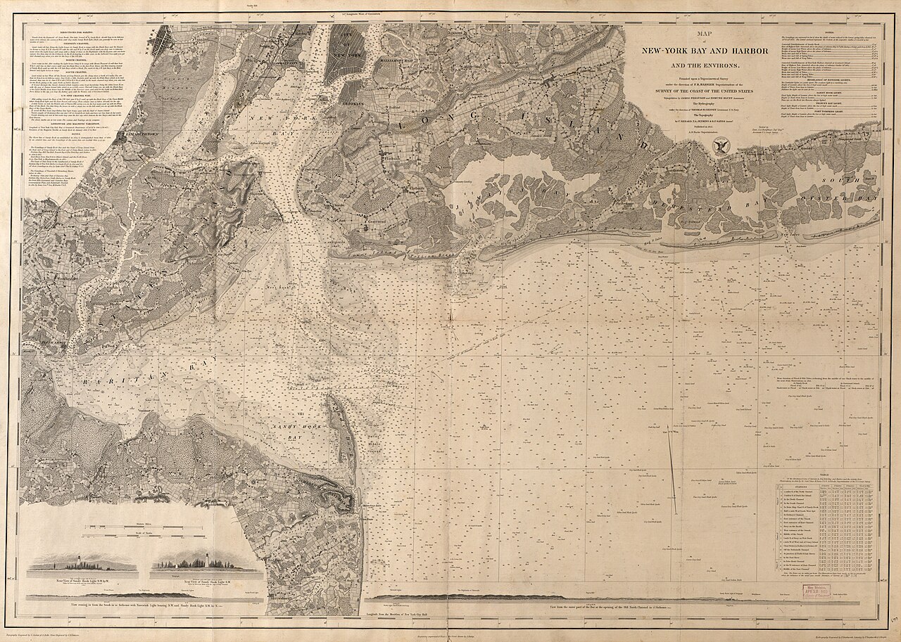
An agreement with the government followed in 1816, and actual fieldwork around New York Harbor began in early 1817. At last, the coast survey was becoming a visible enterprise. The instruments obtained across the Atlantic could be put to the use for which they had been ordered.
That progress was short-lived. In 1818, Congress barred civilians from conducting the survey, transferring the undertaking into military hands. Hassler lost his place in the work. His interruption was part of an argument over who should control a federal survey, an institutional dispute with very personal consequences.
A Return at Sixty-Two
Hassler continued to advocate for his approach. In 1825, he published a defense of his coast-survey work. The interval between dismissal and return stretched across much of his middle age, yet the undertaking remained closely associated with his name.
Original LostSurveyor explanatory graphic. CC BY 4.0. Background reading. Conceptual, not to scale.
In 1832, the civilian survey was reestablished and Hassler became superintendent again. He was sixty-two. A project commissioned a quarter of a century earlier finally had another chance to develop under the man whose plan had been chosen at the start.
The dates make the comeback more vivid than any easy tale of uninterrupted success. Hassler’s professional life had to accommodate war, political decisions, and the slow movement of a government program. Returning to fieldwork at that age meant resuming an ambition whose timetable had repeatedly slipped beyond his control.
A Coast Built from Connected Views
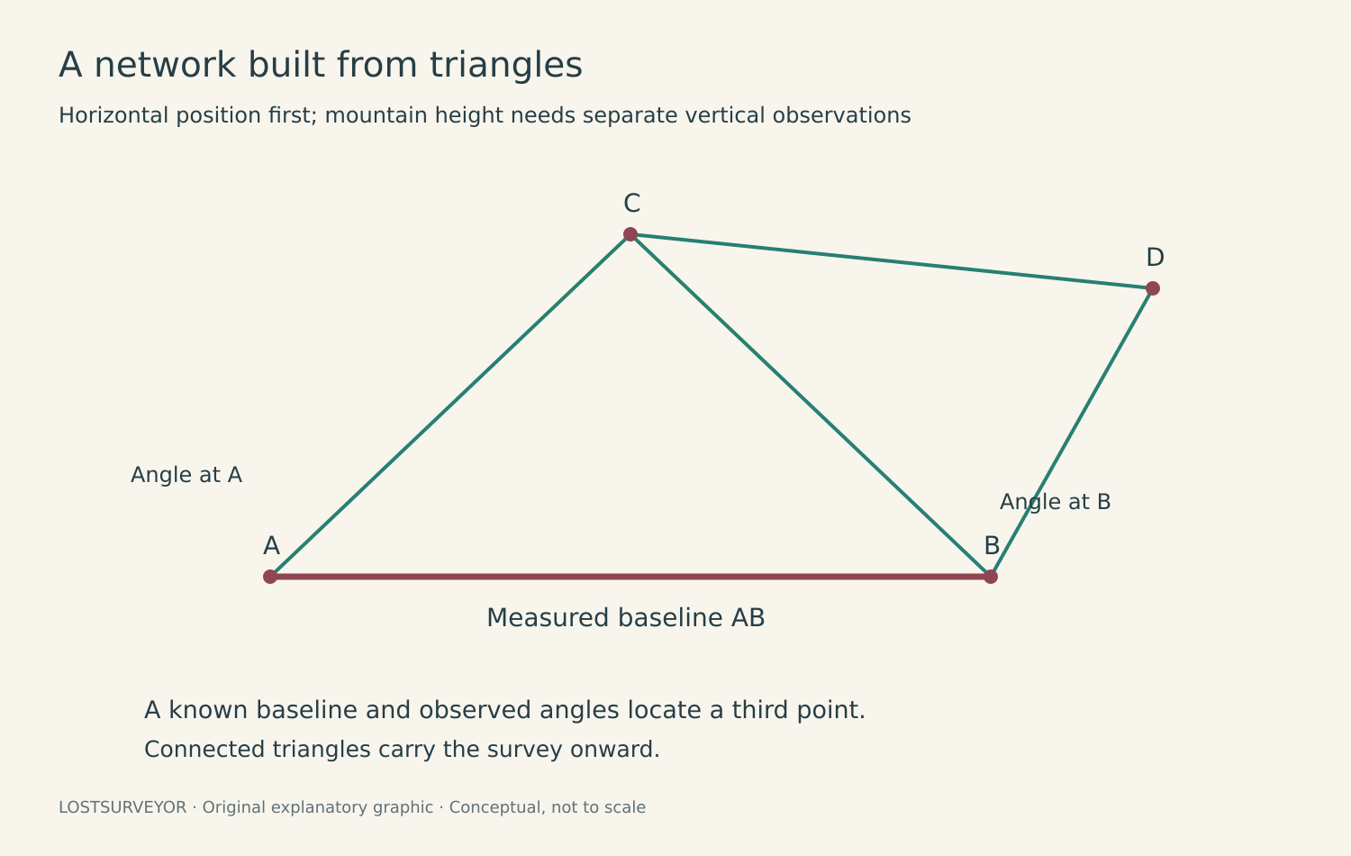
Hassler’s broad idea was to connect the survey’s observations across the landscape. Measurements made from established points on land would help organize the shoreline surveys and the work on the water. NOAA credits that approach with laying the foundation for a method its surveyors and hydrographers followed for generations.
U.S. Coast Survey; F. R. Hassler and A. D. Bache; Library of Congress. Public domain. Source. Resized by WordPress.
One surviving illustration presents a more tangible side of his enthusiasm for equipment. NOAA’s historical account shows him directing the movement of a three-hundred-pound instrument he called the Great Theodolite. It is an imposing object, and an amusingly concrete reminder of what accurate fieldwork once required people to carry.
The Coast Survey took its first soundings in 1834. NOAA identifies an 1835 chart of Bridgeport Harbor, Connecticut, as its earliest chart for which a present record survives. The careful wording leaves room for incomplete archives while marking the arrival of the product that mariners ultimately needed.
Hassler also worked on national weights and measures, helping establish standards for his adopted country. Coastal charts and dependable commercial measurements might appear to be separate interests. Both rested on his conviction that useful information should begin with trustworthy measurement.
A Name Still at Sea
Hassler died in 1843, and Alexander Dallas Bache succeeded him. The institution continued to expand, taking on new responsibilities and eventually becoming part of NOAA. The survey he had struggled to launch outlasted the long delays that defined its earliest years.
His name now belongs to a NOAA coastal mapping vessel. The Ferdinand R. Hassler collects data used to improve nautical charts and understand the marine environment. A ship carrying modern surveying equipment makes a fitting namesake for a man whose first equipment-buying trip became such a prolonged detour.
His life invites appreciation for the uncertain beginnings behind familiar public services. The reliable chart in someone else’s hands was the goal. The long route toward it passed through a Swiss immigrant’s plans, years of interruption, and a determination to bring the work back to the field.