
Measuring the World
Listening to the Sky: How Surveying GNSS Finds Its Place
The receiver on a survey pole is listening to a remarkable conversation about time. Here is how satellite signals become useful positions—and why the last word still belongs to the surveyor.
On This Page
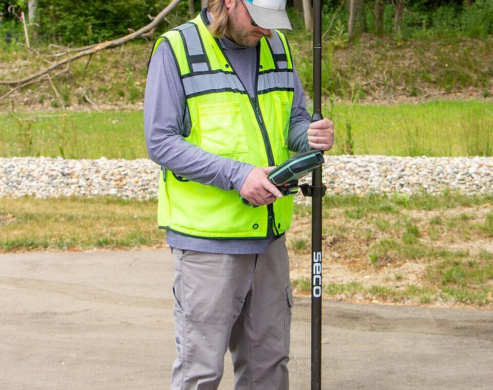
A survey pole does not look like a gateway to space. It looks like something you could lean against a truck: a slender shaft, a receiver at the top, a controller somewhere near hand height. Yet an observation made beside a curb depends on signals arriving from orbit, clocks that must be understood with extraordinary care, and software sorting through a crowded collection of imperfect measurements.
That contrast is part of GNSS’s appeal. The hardware in the field has become pleasantly ordinary. The work taking place behind the screen remains anything but.
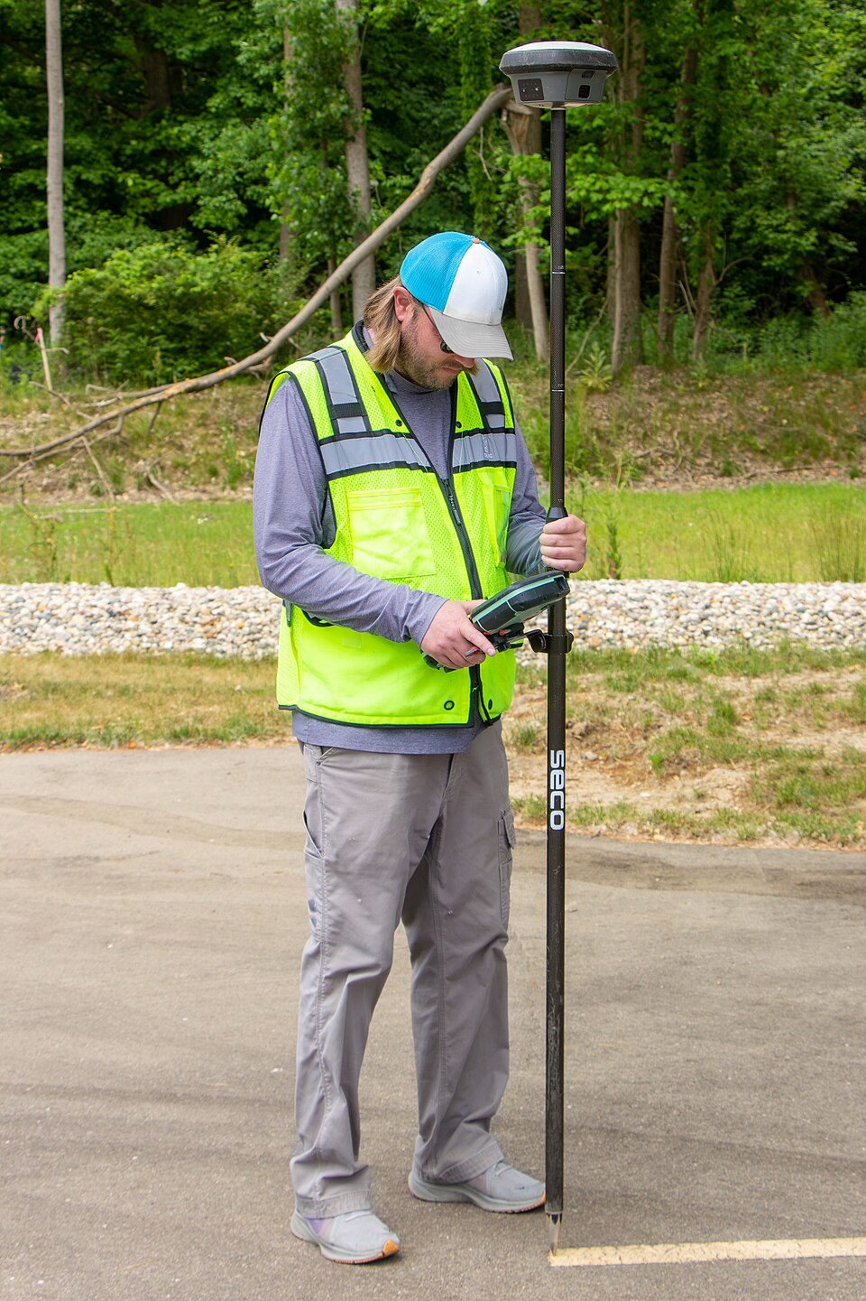
Photo: Jacob Wysko (SweetCanadianMullet), via Wikimedia Commons. CC BY 4.0; resized.

The position begins with time
GNSS means Global Navigation Satellite System, an umbrella that includes GPS and other constellations such as Galileo, GLONASS, and BeiDou. A receiver listens to satellite broadcasts; ordinary positioning does not require it to send a request back into space.
The central idea is travel time. If you know where a satellite was when it transmitted a signal and how long that signal took to reach you, you have information about your distance from it. Several such distances constrain a location. There is a complication, however: the receiver’s clock is not perfectly synchronized with the satellite clocks.
In the familiar, single-system three-dimensional solution, the receiver therefore solves for four unknowns: three position coordinates and its clock offset. That is why the basic explanation calls for at least four satellites. Real receivers commonly use more observations, and their models account for additional effects. The arrangement of those satellites matters, too; a well-spread sky offers stronger geometry than a crowded patch of it.
Two ways of listening
The satellite signal contains a recognizable code. By comparing the incoming pattern with a copy generated inside the receiver, the instrument estimates the delay. The resulting apparent distance is called a pseudorange. “Pseudo” is an honest label: clock differences and other influences mean it is not simply the untouched geometric distance.
Survey receivers can also measure the phase of the radio carrier—the repeating wave carrying the signal. This offers much finer measurement, with an awkward catch. The receiver initially does not know how many complete wavelengths lie between satellite and antenna. It has a wonderfully fine ruler whose starting graduation needs to be established.
Resolving those whole-cycle ambiguities is a major part of high-precision satellite positioning. Losing continuous tracking can upset that work. The fine ruler does not make the atmosphere, nearby buildings, or receiver noise disappear.
Why another receiver helps
Real-time kinematic positioning, usually shortened to RTK, compares observations from a rover with information from a base whose position is known. Because nearby receivers experience some similar satellite and atmospheric errors, the processing can reduce their shared effects. A radio or network connection delivers the necessary information while the work is underway.
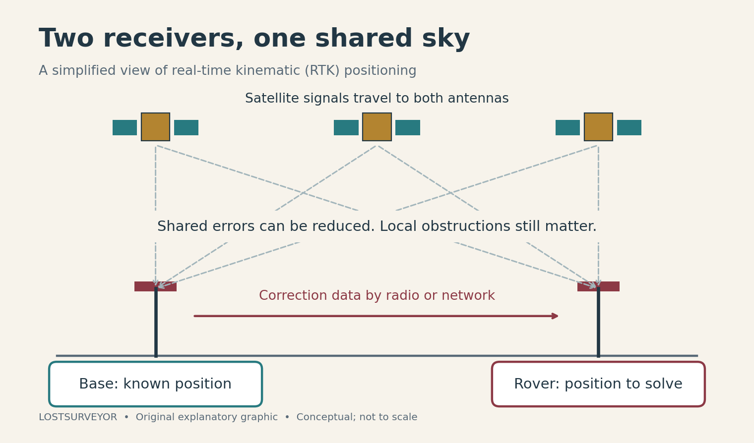
Original explanatory graphic for LostSurveyor. Conceptual; not to scale.
Under suitable conditions, RTK can support centimeter-level positions. A network service can extend the idea using observations from multiple reference stations. Neither arrangement is a universal promise of accuracy: the quality of the reference information, the communication link, the observations, and the surroundings all remain part of the result.
A “fixed” solution indicates that the processing has resolved its carrier-phase ambiguities to integer values. It is encouraging evidence, not a certificate that every coordinate is correct. I find that distinction more interesting than a receiver’s most flattering specification. The screen is reporting the state of a solution; the survey still has to establish whether that solution makes sense.
Other roads to a useful coordinate
Precise Point Positioning, or PPP, takes another route. It uses precise satellite orbit and clock information, together with suitable observations and models, rather than requiring the user to operate a nearby base. Reference networks still help produce those upstream products. “No local base” does not mean “no infrastructure.”
PPP commonly needs a period of convergence, and performance varies with the service, processing method, and conditions. It should not be treated as a different spelling of instant RTK. The practical attraction is flexibility: a receiver can draw on a much wider system than the equipment visible on the job.
The sky meets the parking lot
The most troublesome part of the journey can be its final few yards. A signal reflected by a building or another surface arrives by a longer route. This is multipath, and it can bias the measurements. Tree canopy and obstructions can also interrupt or weaken reception. Adding satellites does not automatically rescue every difficult setting.
That is where ordinary-looking actions regain their importance: observing suitable known points, obtaining independent evidence, checking antenna information, and recognizing when another instrument would tell a clearer story. The details depend on the work; the underlying habit is to question a result before building something important on it.
GNSS has made the connection between a patch of pavement and a global measuring system remarkably accessible. Its finest achievement is not a long string of decimals. It is the possibility of making that connection deliberately—and knowing enough about the sky, the equipment, and the site to judge what the numbers deserve.
Sources and further reading
- ESA Navipedia: An intuitive approach to GNSS positioning — The geometry behind satellite positioning and the receiver clock.
- ESA Navipedia: GNSS Basic Observables — Code measurements, carrier phase, and their different strengths.
- ESA Navipedia: RTK Fundamentals — How relative positioning and ambiguity resolution work.
- ESA Navipedia: Precise Point Positioning — Precision positioning without a nearby user-operated base.
- NOAA NGS: Real-Time GNSS User Guidelines — A 2011 guide with useful background on observation quality and multipath; equipment and service capabilities have evolved.