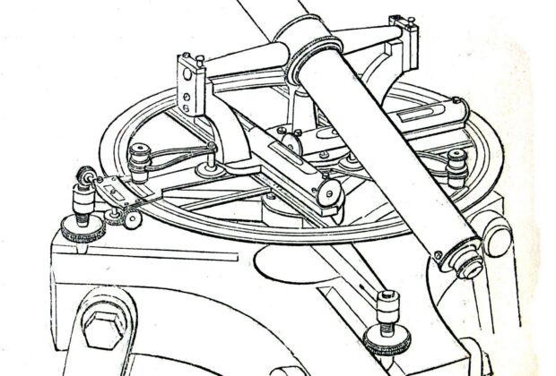
The Theodolite: How a Turning Telescope Changed Surveying
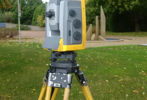
How a telescope, two angle circles, and some ingenious checks let surveyors carry measurement across valleys, through national networks, and into the modern total station.
Stories by Subject
How surveying instruments, sensors, software, and technologies work, developed, and are used, including their capabilities, limitations, and practical methods.
23 articles
How a telescope, two angle circles, and some ingenious checks let surveyors carry measurement across valleys, through national networks, and into the modern total station.
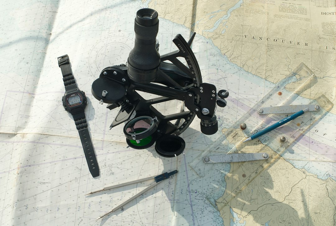
How sextants, chronometers, astronomical tables, and hydrographic surveys made ocean navigation repeatable.
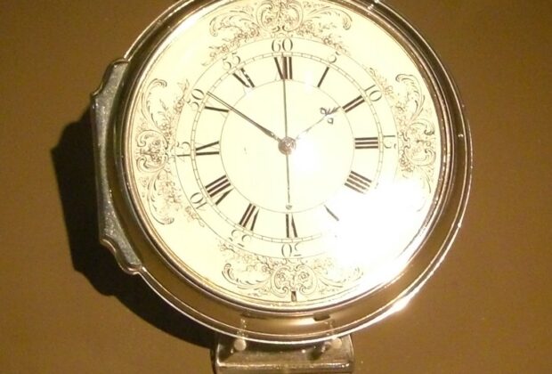
How John Harrison’s marine timekeepers turned reference time into a practical east-west position at sea.
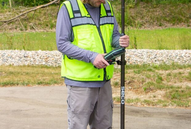
The receiver on a survey pole is listening to a remarkable conversation about time. Here is how satellite signals become useful positions—and why the last word…
A telescope on a tripod can now follow its own target. Robotic total stations change the pace of surveying, while preserving a surprisingly familiar kind of…
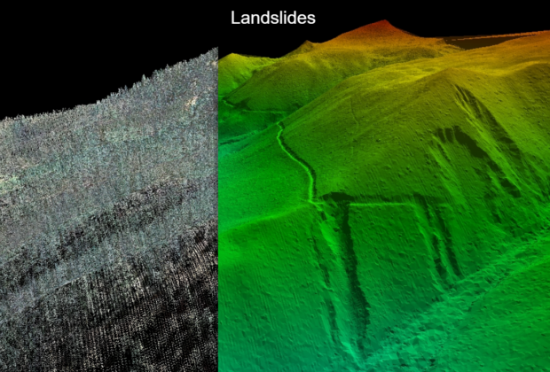
A point cloud can make a building transparent on screen and a forested hillside surprisingly legible. The fascination begins with laser ranging—and continues with the decisions…
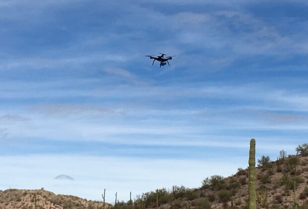
The aircraft gets the attention, but its real contribution is a useful view of the job. Drone mapping depends on the sensor, the observations, and what…
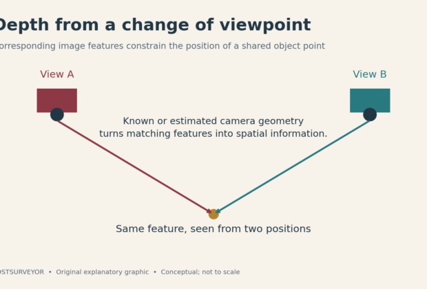
Move the camera, and an ordinary photograph gains a new kind of information. Photogrammetry turns those changes of viewpoint into models, maps, and measurements.
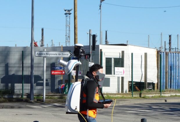
A scanner can now travel through a site while helping work out where it has been. Mobile mapping turns the route itself into part of the…
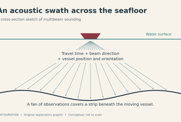
A boat can cross a complicated landscape without anyone on deck seeing it. Multibeam sonar turns returning echoes into a picture of that hidden terrain.