
Instruments & Methods
Surveying Across the Seas, Part 3: Sextants, Almanacs, and the Surveyed Ocean
How sextants, chronometers, astronomical tables, and hydrographic surveys made ocean navigation repeatable.
On This Page
- 01 — Introduction
- 02 — Double Reflection on a Rolling Ship
- 03 — Correcting the Observed Altitude
- 04 — Longitude by Time Sight
- 05 — Lunar Distances as an Independent Check
- 06 — Hydrographic Control
- 07 — The Chart as a Layered Record
- 08 — What the Modern Surveyor Can Carry Forward
- 09 — Sources and Further Reading
Series: Surveying Across the Seas
The chronometer carried reference time, but the navigator still needed an observation of the sky and a chart tied to measured control. The mature system joined time, angles, astronomical predictions, shore triangulation, tides, soundings, and disciplined recordkeeping.
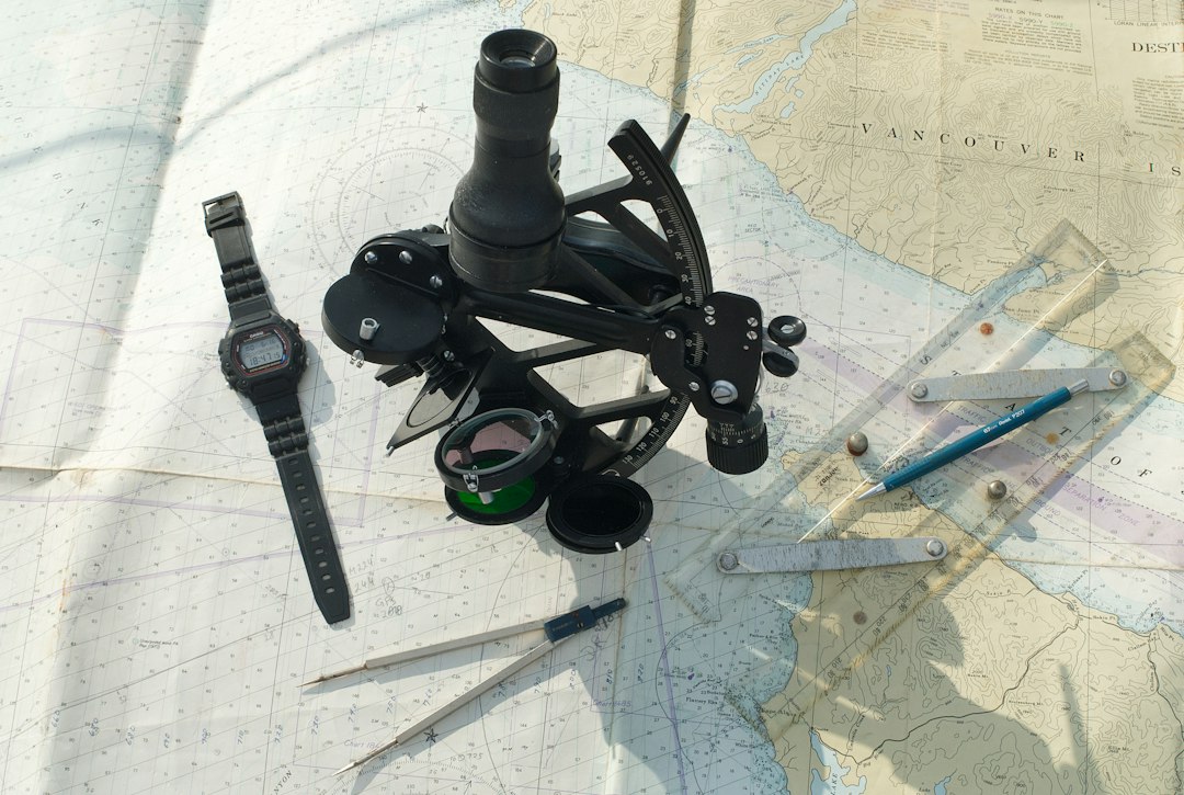
The sextant is often treated as a symbol of romance. Technically it is a compact angle-measuring instrument whose double-reflection geometry allows the horizon and a celestial body to remain in one view on a moving deck. Its reading became useful only after adjustment and correction.
Photo by stephan de MARANTHI / Unsplash. Used under the Unsplash License. Source.
Double Reflection on a Rolling Ship
Mirrors allowed the observer to bring the reflected image of the Sun, Moon, planet, or star into contact with the visible horizon. Both images moved together as the deck rolled.
Instrument geometry solved an environmental problem. The best design was not the one with the largest circle but the one that preserved a measurable relationship in motion.
The practical importance of double reflection on a rolling ship lies in the chain of evidence. Celestial observation, carried time, dead reckoning, and hydrographic control did not become dependable merely because an instrument produced a reading. Observers had to identify the reference, describe conditions, apply corrections, compare independent information, and preserve a record another person could review. That sequence is recognizable in modern geomatics, even when software performs much of the reduction.
Correcting the Observed Altitude
Index error, height-of-eye dip, refraction, parallax, and the apparent radius of a celestial body could all affect the raw altitude. Tables converted the observed angle into the quantity needed for navigation.
A field value is not always the final geometric value. Modern software applies more elaborate models, but responsibility for inputs and conditions remains with the observer.
Field conditions shaped the result as strongly as theory. In a vessel moving through open water, temperature, visibility, access, transportation, fatigue, and communication all imposed limits. The crews succeeded by designing procedures around those limits. Their work is a reminder that accuracy specifications must be matched by occupations, checks, and logistics capable of achieving them outside a laboratory.
Longitude by Time Sight
An observer noted the chronometer time while measuring a celestial altitude. Tables and calculation connected the body’s position to Greenwich time and local hour angle, producing longitude.
Repeated sights and comparison with dead reckoning were essential. Extra digits in the calculation could not repair a weak horizon, wrong time, or misidentified body.
Institutions mattered because a measurement network outlives any one observer. observatories, hydrographic offices, navies, instrument makers, and chart publishers supplied standards, training, computation, archives, and authority. It could also impose political priorities. Reading the technical record therefore requires attention to who commissioned the work, who performed it, whose knowledge was used, and how the finished coordinates or maps affected people on the ground.
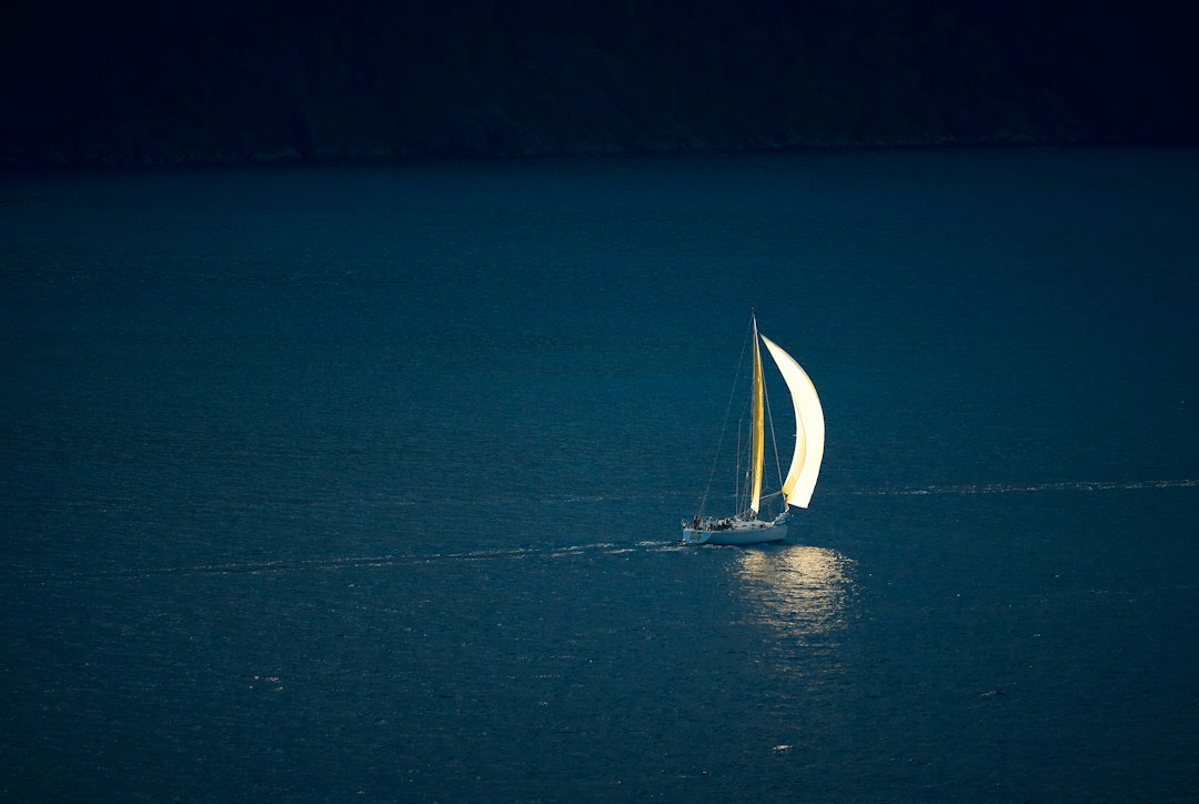
Photo by Vidar Nordli-Mathisen / Unsplash. Used under the Unsplash License. Source.
Lunar Distances as an Independent Check
The changing angle between the Moon and another body acted as a clock in the sky. Clearing the observation was demanding, but it could determine reference time without trusting a chronometer.
Lunar distance remained useful because its errors differed from carried time. Independent physics makes a stronger check than two devices sharing the same weakness.
Every stage carried a different error budget. clock rate, index error, refraction, horizon dip, compass variation, current, leeway, and imperfect charts could enter separately or interact. Good practice did not assume those effects vanished; it measured, modeled, repeated, or bounded them. The historical language differs from modern uncertainty analysis, but the underlying discipline is familiar: identify what can move the answer and create an observation plan able to reveal it.
Hydrographic Control
Shore triangulation established stations; survey boats fixed positions by angles, measured depths, observed tides, and described the bottom. Astronomical observations connected local work to latitude and longitude.
A chart was a compiled survey with horizontal and vertical references. Soundings required reduction to a tidal datum just as land elevations require a stated vertical datum.
The modern connection is not decorative. GNSS navigation and modern hydrographic surveying still relies on the same underlying logic: establish a reference, observe relationships, reduce the data, test closure or consistency, and communicate limitations. New sensors increase speed and density, but they do not remove the need to understand where a coordinate came from or whether it answers the question being asked.
The Chart as a Layered Record
Published sheets combined observations from different vessels, years, instruments, and standards. Source diagrams, edition dates, notes, and correction notices helped users judge the lineage.
A clean graphic surface can hide uneven evidence. The professional reader asks which portion of the chart is strongly surveyed and which rests on older or sparse work.
Primary records often look more certain than the work felt in the field. A finished map, published height, or polished report compresses failed observations, weather delays, instrument trouble, judgment calls, and recalculation into a clean result. Reading field notes, instrument descriptions, correspondence, and later adjustments restores that missing texture and helps distinguish the original observation from later interpretation.
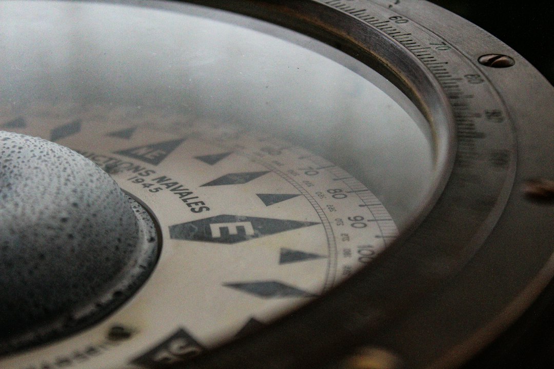
Photo by Ruben Christen / Unsplash. Used under the Unsplash License. Source.
What the Modern Surveyor Can Carry Forward
Routine ocean crossing depended on routine procedures: maintain clocks, adjust instruments, keep the log, reduce observations, update charts, and compare independent evidence. The system mattered more than any single dramatic sight.
Satellite positioning now supplies continuous coordinates, yet modern hydrography still establishes reference, calibrates sensors, models the environment, checks consistency, reduces to a datum, and reports uncertainty.
A useful way to study ocean navigation and maritime surveying is to reconstruct one observation from beginning to end. Start with the instrument and the raw quantity it measured. Identify the reference surface or origin. List every correction in the order it entered. Then ask which quantities were observed directly and which came from tables, assumptions, or prior surveys. This exercise turns a historical narrative into a working measurement model.
The vocabulary deserves care. Historical writers may use “accuracy,” “error,” “station,” “datum,” or “survey” differently from a modern specification. Units can change between documents, and coordinates may be quoted without repeating their meridian or reference frame. Apparent disagreements sometimes disappear once scale, epoch, instrument constants, or adopted values are placed on the same basis.
Images also require interpretation. A photograph of a large instrument may show a ceremonial demonstration rather than ordinary field use. A map may be a later copy, a compilation, or a reduced publication rather than the original field sheet. Captions should identify the repository, creator, date, and rights statement whenever they are known, and readers should follow the source link before treating an illustration as technical proof.
The strongest histories of ocean navigation and maritime surveying combine institutional reports with personal records and later technical analysis. Official reports explain the intended method; field books and correspondence reveal implementation; later geodetic or historical studies identify systematic effects the original crews could not fully quantify. Agreement among those layers is more persuasive than repetition of a familiar anecdote.
Nothing in this history suggests that older crews were careless because their numerical precision was lower. They often extracted extraordinary value from limited instruments by repeating work, calibrating equipment, choosing geometry deliberately, and documenting exceptions. The fair comparison is between methods and their available standards, not between an old field book and the display resolution of a modern receiver.
Finally, ocean navigation and maritime surveying is best understood as infrastructure. A single observation may be memorable, but durable value comes from a maintained system of reference marks, tables, charts, records, training, and revision. Surveying becomes civilization-scale technology when later users can recover the reference, evaluate the lineage, and extend the work without beginning again.
A useful way to study ocean navigation and maritime surveying is to reconstruct one observation from beginning to end. Start with the instrument and the raw quantity it measured. Identify the reference surface or origin. List every correction in the order it entered. Then ask which quantities were observed directly and which came from tables, assumptions, or prior surveys. This exercise turns a historical narrative into a working measurement model.
The vocabulary deserves care. Historical writers may use “accuracy,” “error,” “station,” “datum,” or “survey” differently from a modern specification. Units can change between documents, and coordinates may be quoted without repeating their meridian or reference frame. Apparent disagreements sometimes disappear once scale, epoch, instrument constants, or adopted values are placed on the same basis.
Images also require interpretation. A photograph of a large instrument may show a ceremonial demonstration rather than ordinary field use. A map may be a later copy, a compilation, or a reduced publication rather than the original field sheet. Captions should identify the repository, creator, date, and rights statement whenever they are known, and readers should follow the source link before treating an illustration as technical proof.
The strongest histories of ocean navigation and maritime surveying combine institutional reports with personal records and later technical analysis. Official reports explain the intended method; field books and correspondence reveal implementation; later geodetic or historical studies identify systematic effects the original crews could not fully quantify. Agreement among those layers is more persuasive than repetition of a familiar anecdote.
Nothing in this history suggests that older crews were careless because their numerical precision was lower. They often extracted extraordinary value from limited instruments by repeating work, calibrating equipment, choosing geometry deliberately, and documenting exceptions. The fair comparison is between methods and their available standards, not between an old field book and the display resolution of a modern receiver.
Finally, ocean navigation and maritime surveying is best understood as infrastructure. A single observation may be memorable, but durable value comes from a maintained system of reference marks, tables, charts, records, training, and revision. Surveying becomes civilization-scale technology when later users can recover the reference, evaluate the lineage, and extend the work without beginning again.
A useful way to study ocean navigation and maritime surveying is to reconstruct one observation from beginning to end. Start with the instrument and the raw quantity it measured. Identify the reference surface or origin. List every correction in the order it entered. Then ask which quantities were observed directly and which came from tables, assumptions, or prior surveys. This exercise turns a historical narrative into a working measurement model.
The vocabulary deserves care. Historical writers may use “accuracy,” “error,” “station,” “datum,” or “survey” differently from a modern specification. Units can change between documents, and coordinates may be quoted without repeating their meridian or reference frame. Apparent disagreements sometimes disappear once scale, epoch, instrument constants, or adopted values are placed on the same basis.
Images also require interpretation. A photograph of a large instrument may show a ceremonial demonstration rather than ordinary field use. A map may be a later copy, a compilation, or a reduced publication rather than the original field sheet. Captions should identify the repository, creator, date, and rights statement whenever they are known, and readers should follow the source link before treating an illustration as technical proof.
The strongest histories of ocean navigation and maritime surveying combine institutional reports with personal records and later technical analysis. Official reports explain the intended method; field books and correspondence reveal implementation; later geodetic or historical studies identify systematic effects the original crews could not fully quantify. Agreement among those layers is more persuasive than repetition of a familiar anecdote.
Nothing in this history suggests that older crews were careless because their numerical precision was lower. They often extracted extraordinary value from limited instruments by repeating work, calibrating equipment, choosing geometry deliberately, and documenting exceptions. The fair comparison is between methods and their available standards, not between an old field book and the display resolution of a modern receiver.
Finally, ocean navigation and maritime surveying is best understood as infrastructure. A single observation may be memorable, but durable value comes from a maintained system of reference marks, tables, charts, records, training, and revision. Surveying becomes civilization-scale technology when later users can recover the reference, evaluate the lineage, and extend the work without beginning again.
A useful way to study ocean navigation and maritime surveying is to reconstruct one observation from beginning to end. Start with the instrument and the raw quantity it measured. Identify the reference surface or origin. List every correction in the order it entered. Then ask which quantities were observed directly and which came from tables, assumptions, or prior surveys. This exercise turns a historical narrative into a working measurement model.