
Tools & Technology
GPS Modernization Is More Than a Satellite: What GAO’s New Audit Uncovered
A new GAO audit follows GPS from orbit to ground control to the equipment using its signals, revealing why modernization keeps slipping and what the findings mean for surveyors.

On This Page
- 01 — Introduction
- 02 — First, separate GPS from the job it does
- 03 — The ground system that was accepted, then canceled
- 04 — Why a ground delay reaches into orbit
- 05 — The warning signs did not begin this year
- 06 — A receiver card is only the beginning
- 07 — What happens when GPS cannot be trusted?
- 08 — The audit’s central management problem
- 09 — Modernization remains unfinished
- 10 — Sources and further reading
A GPS satellite can be broadcasting a better signal for years before the people who need it can put it to work. The missing piece might be software on the ground, a receiver inside an aircraft, or the money and testing needed to connect them. That gap between a capability in orbit and a capability in use is at the heart of a new federal audit.
In a report released October 7, 2026, the U.S. Government Accountability Office found that the Defense Department’s efforts to modernize GPS and provide alternatives when its signals cannot be trusted remain hindered by technical delays and fragmented planning. The audit, GAO-27-107676, examines the whole chain: satellites, ground control, receivers, and the military systems that depend on them.
GAO conducted the performance audit from July 2024 to October 2026, reviewing program documents, budgets, schedules, and testing information and interviewing officials across the Defense Department and military services. Its findings concern how programs are developing and being fielded; they are not the results of a worldwide test of every GPS user’s position.
For surveyors, there is an important distinction at the outset. This is an audit of modernization and military positioning capabilities, not a finding that everyday civilian GPS has stopped working. But it does expose how much dependable positioning relies on infrastructure well beyond the receiver on a pole.
First, separate GPS from the job it does
The report uses the abbreviation PNT: positioning, navigation, and timing. Positioning answers where something is. Navigation supports movement between places. Timing provides the common clock on which the first two, and many communications systems, depend. GPS is one source of those services; it is not the only possible source.
GPS itself has three connected parts. Satellites transmit navigation information. Ground-control facilities monitor and command them. Receivers turn the signals into usable information. A new signal therefore needs more than a successful launch: the satellite must support it, the control system must manage it, and the receiving equipment must be able to use it. GAO describes these interdependencies in the report’s background and modernization findings.
Much of the audit concerns M-code, an encrypted military GPS signal designed for greater resistance to interference and deception. Satellites capable of broadcasting it first reached orbit in 2005. Fielding that capability across vehicles, ships, aircraft, and weapons has proved much harder than getting a transmitter into space.
M-code is distinct from the civil signals used by ordinary surveying equipment. The civilian modernization program includes L2C, L5, and L1C, alongside the legacy L1 C/A signal. GPS.gov explains their different purposes: L2C supports improved dual-frequency use, L5 was designed for demanding safety-of-life and other high-performance applications, and L1C supports interoperability with other satellite navigation systems. A receiver’s ability to track several frequencies does not give it access to military M-code.
The ground system that was accepted, then canceled
The biggest change in the background to this audit happened in April, not October. The Defense Acquisition Executive canceled the Next Generation Operational Control System, known as OCX, on April 17, 2026. The Space Force announced the decision on April 20. OCX was intended to replace major parts of the existing GPS ground-control system and enable modernized capabilities.
The financial stakes were substantial. In a separate June 9, 2026 assessment of weapons acquisition, GAO described OCX as having consumed more than $7 billion before termination. That figure concerns the canceled ground-control effort, not all GPS modernization or the cost of operating the civilian service.
That followed an apparently promising milestone: the Space Force had contractually accepted OCX from its contractor in July 2025. Acceptance, however, did not mean the new system had taken over routine control of GPS. The subsequent testing had to establish that it could work within the wider combination of satellites, ground equipment, and receivers.
GAO’s account makes that distinction unusually concrete. At acceptance, the system had not met a requirement for time-steering, a function involved in keeping the time disseminated by GPS accurate. A waiver allowed acceptance, and the existing ground system supplied that function during testing. Officials told GAO the requirement still had to be satisfied before operational control could transfer to OCX. They also assessed cyber survivability as a high-risk area requiring further work. That is a testing and risk finding, not evidence that a cyberattack had occurred. These details appear in GAO’s section on OCX acceptance and termination.
By the time of the cancellation decision, the Space Force judged it less risky to improve the existing Operational Control Segment–Architecture Evolution Plan, or OCS-AEP, than to resolve OCX’s remaining problems. Its successor effort, AEP Modernization, is intended to deliver improvements in phases. The old system is therefore the starting point for the new approach, rather than something abandoned while GPS waits for a replacement.
According to the comparisons described in the audit, either approach was expected to deliver most of the relevant PNT capabilities in the 2028–2029 period. Under the legacy-system upgrade approach, cybersecurity upgrades and modernized civilian-signal capabilities were projected for completion in 2030, later than under the OCX alternative. Those are program estimates, not guaranteed delivery dates. They also do not mean civil signals will first appear in 2030; broadcast signals, receiver use, monitoring, and the full ground-control capability are different milestones.
Why a ground delay reaches into orbit
The next satellite generation, GPS III Follow-on, or GPS IIIF, illustrates the consequence. Its planned capabilities include a steerable, strengthened M-code signal for a selected region. But the program had been preparing to launch, check out, and operate those satellites using OCX software. Changing the ground-system plan means additional software work before those operations can proceed.
GAO reports that, as of September 2026, projected delivery dates for the first ten GPS IIIF satellites had slipped by an average of nine months compared with the revised delivery schedule adopted in December 2024. Late components and testing constraints contributed. There is an important qualification: the projected deliveries were still ahead of the program’s formal acquisition baseline. Saying simply that the satellites were “nine months late” would conceal which schedule was being compared.
The first delivery was projected for July 2027. Delivery is not launch, and launch is not the same as an operational satellite joining the navigation service. The audit also records progress on critical hardware and environmental testing. The concern is whether space and ground capabilities will become ready together, not that every part of the satellite program has stopped. GAO’s satellite findings distinguish those milestones and the different schedule baselines.
The warning signs did not begin this year
Earlier audits show how the problems documented in October developed. In September 2015, GAO found that OCX needed $1.1 billion and four years more than planned at that time. It criticized development beginning before preliminary reviews were complete, overly optimistic schedules, and slow recognition of development problems. That historical increase is not a statement of the program’s final cost.
In December 2017, the problem extended well beyond ground-control software. GAO warned that adapting modernized receiver cards to more than 700 weapon systems could cause different offices to pay repeatedly to solve common integration problems. It recommended assigning responsibility for collecting and sharing test results and design lessons. GAO later marked that particular recommendation implemented after the Defense Department documented the Chief Information Officer’s coordination role.
By September 2024, auditors were still identifying risks in all three GPS segments. Some ground-system tests had been completed, but acceptance and operational demonstration remained ahead. Receiver deficiencies, integration delays, and potential chip shortages were also concerns.
The sequence matters. It would be inaccurate to say that no corrective action was taken: some recommendations were implemented, testing advanced, and equipment reached units. The continuing difficulty is that improving individual programs has not reliably brought the entire chain into service on a matching timetable.
A receiver card is only the beginning
Inside military equipment, a small receiver card processes the M-code signal. That card must then be integrated into a complete receiver, which must be installed, powered, connected, tested, and supported on a particular aircraft, ship, or vehicle. Each step can reveal a problem that component testing alone did not expose.
The October audit gives several examples. A maritime receiver-card problem involving a Position, Velocity, and Time Assurance outage error required a software correction and further testing before broader integration. In aviation testing, a card did not meet the program’s more demanding joint aviation accuracy requirements; officials told GAO those requirements were subsequently revised to match requirements considered sufficient for the Gray Eagle uncrewed aircraft’s mission. The report distinguishes a technical correction from a change in the requirement being tested. Neither should be described simply as all receiver problems being solved.
There is also genuine fielding progress. The Army has put modernized handheld and vehicle equipment into units. Yet the audit’s receiver findings and Table 2 show why a single announcement of “GPS modernization complete” would be misleading. Different equipment has different initial and full-fielding dates. For example, officials projected full fielding of the Army’s EAGLE-M aviation system across its aviation platforms in 2049, citing priorities and funding for fleet-wide retrofits. That is a projection for that specific effort, not a date when GPS as a whole will become usable.
What happens when GPS cannot be trusted?
Modernizing GPS addresses only part of the problem. Jamming interferes with reception; spoofing supplies deceptive signals. Other risks include attacks on infrastructure and ordinary unintentional interference. A receiver can lose useful information, or receive information that looks plausible but is wrong.
The military is consequently developing complementary PNT: other ways to obtain position, movement, and time. Some use low-Earth-orbit satellites, closer to the surface than GPS satellites. Others use inertial sensors, images, stars, or mapped variations in Earth’s magnetic and gravitational fields. Accurate clocks can preserve timing for a period when an outside reference is unavailable.
Each has a limitation. Inertial navigation estimates movement from a known starting condition, but its errors accumulate. Visual navigation needs recognizable surroundings and suitable reference data. Celestial sensors need an adequate view of the sky. A clock can maintain time without independently telling a vehicle where it is. Alternative satellite signals can add useful diversity and strength, but radio signals are not automatically immune to interference because they come from a different constellation. GAO’s complementary-PNT discussion sets out these advantages and constraints.
That is why a multi-PNT receiver is more than a conventional receiver listening to extra satellites. It can combine different kinds of information: a satellite fix, an inertial estimate, a clock, or an external sensor. The objective is to avoid placing every part of the navigation solution behind the same vulnerable dependency.
Even an alternative needs infrastructure. The Army’s ALTNAV effort uses a commercial low-Earth-orbit constellation and an Army-developed ground segment. GAO reports that it reached initial operational capability in late 2024, but fuller deployment still depended on installing monitoring stations around the world, including obtaining host-country permission. Moving beyond GPS does not remove the need for ground stations, reference information, compatible receivers, or agreements.
The audit’s central management problem
The report’s recommendations are not a demand for one particular new navigation technology. They address how the Defense Department organizes work that spans many organizations. A PNT Oversight Council can examine priorities and recommend changes, but the military services retain control over their budgets. Coordination does not, by itself, ensure that dependent programs receive funding together.
One office may develop a receiver card while another pays for the receiver and a third plans upgrades to the platform carrying it. If one schedule slips or one budget is short, a technically successful component can wait for the rest of the system. GAO identifies this fragmentation as a continuing obstacle to turning investment into fielded capability.
The auditors also point to a possible model for improvement. Several aircraft-receiver and receiver-card efforts were brought together under an Air Force-managed joint program office, with the transitions completed in May 2026. The consolidated effort became subject to additional progress reviews and independent cost and technology-risk assessments. GAO does not present this reorganization as proof that all delivery problems are fixed; it identifies an approach other efforts could assess.
Its three new recommendations ask the Army, Navy, and Department of the Air Force to assess where consolidating GPS-modernization and complementary-PNT work would improve strategic alignment, and to develop consolidation plans. The Defense Department concurred. Agreement is a starting point; the practical test will be whether funding, testing, and installation schedules become better aligned.
Concurrence did not mean every service accepted the same diagnosis. In its response, the Army said its PNT modernization was already well coordinated and that it had found no duplication. It nevertheless agreed to assess whether consolidation could improve alignment and to plan appropriate changes. That distinction keeps the recommendation in proportion: GAO is asking where consolidation would help, not prescribing an indiscriminate merger of every effort.
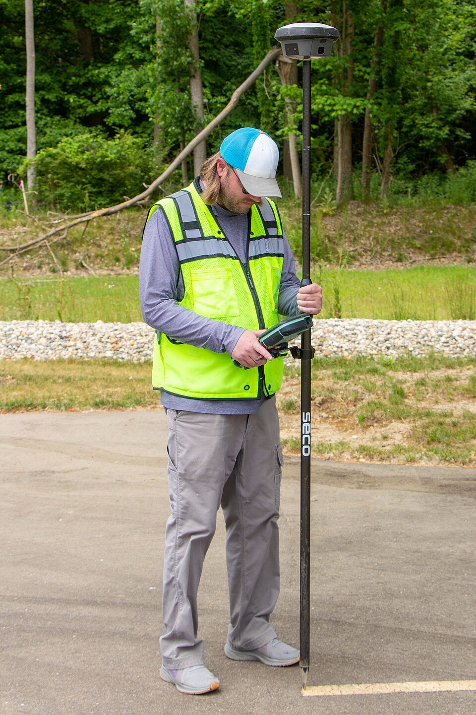
Photo: Jacob Wysko (SweetCanadianMullet), via Wikimedia Commons. CC BY 4.0; resized.

Modernization remains unfinished
GAO found that delays in ground control, satellite development and receiver integration continue to hold back GPS modernization. The cancellation of OCX shifted ground-system work to upgrades of the existing system, while adding risks for bringing GPS IIIF satellites into service. Some modernized receivers are already in use, but wider deployment remains years away for several programs.
Alongside these upgrades, the military is developing other sources of positioning, navigation and timing to support operations when GPS is disrupted or unavailable. These efforts are intended to reduce reliance on a system vulnerable to jamming and other interference.
Across these programs, GAO identified fragmented planning, funding and oversight as continuing obstacles. Its recommendations call on the military departments to assess where consolidation would improve coordination and develop plans accordingly. The report concludes that closer alignment could help synchronize schedules and direct resources toward the capabilities most urgently needed.
Sources and further reading
GAO-26-109135, June 9, 2026: broader acquisition assessment and attributed OCX cost
U.S. Space Force, April 20, 2026: announcement of the April 17 OCX cancellation
GAO-15-657, September 9, 2015: OCX development problems and receiver-production readiness
GAO-18-74, December 12, 2017: coordination and integration problems; recommendation follow-up
GAO-24-106841, September 9, 2024: preceding modernization assessment
NISTIR 8323 Revision 1, January 31, 2023: voluntary PNT risk-management framework