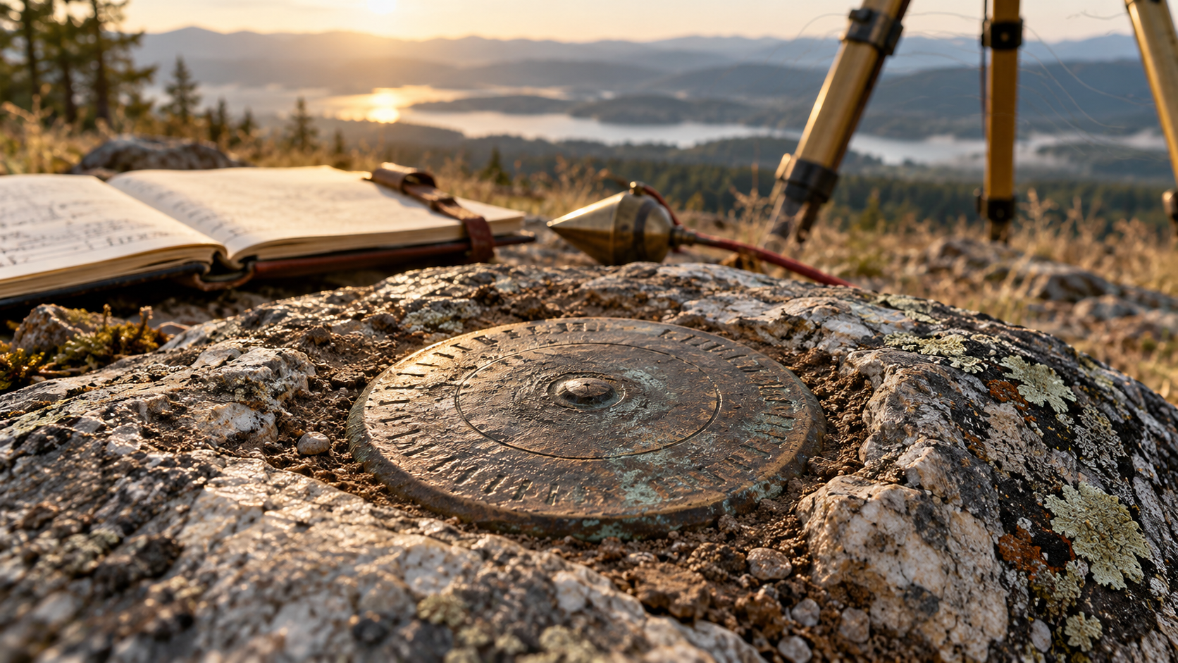
Small Mark, Big Meaning: How Survey Monuments Carry Boundaries Through Time
A brass disk, stone, pipe, or driven rod may look small, but its record can preserve a boundary or geodetic position across generations.
Stories by Subject
How property and territorial boundaries, land rights, monuments, deeds, surveys, and public records establish where rights apply and what evidence supports them.
20 articles
A brass disk, stone, pipe, or driven rod may look small, but its record can preserve a boundary or geodetic position across generations.
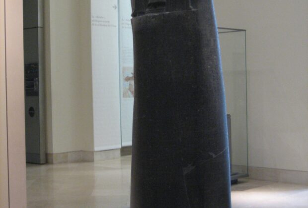
Long before a courthouse recorded subdivision plats, Mesopotamian cities used tablets, witnesses, field measures, canal rules, and royal authority to make land legible.
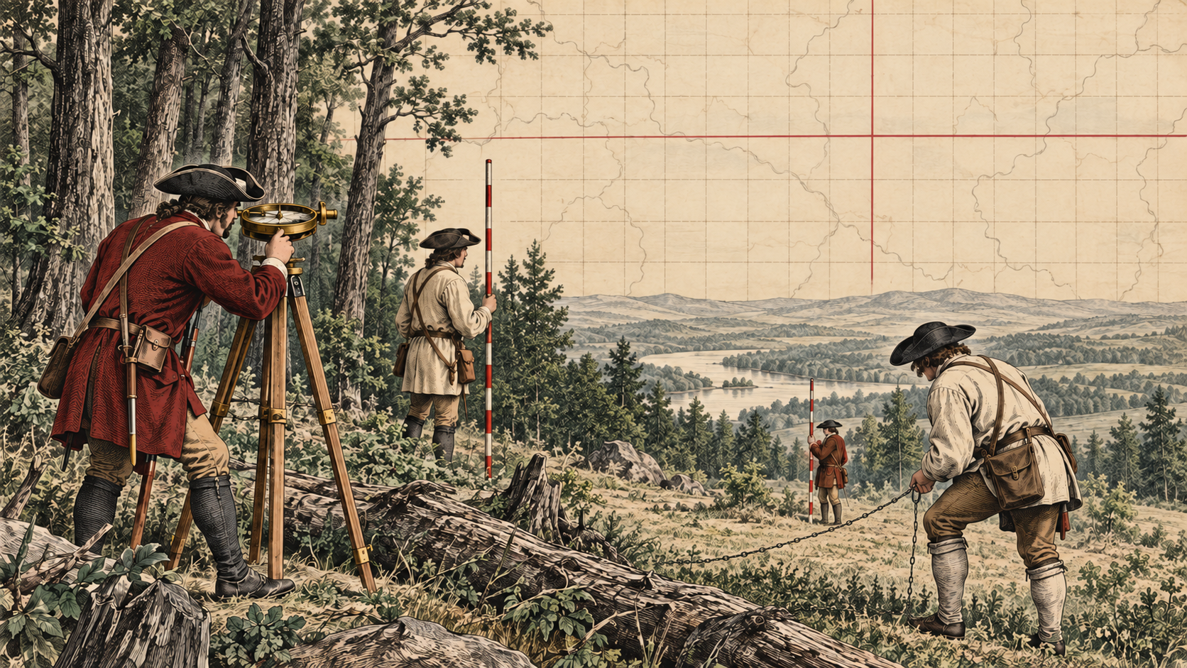
How the Land Ordinance of 1785, field crews, monuments, and public records transformed a geometric idea into the framework of the American landscape.
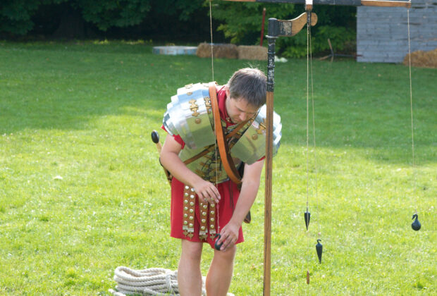
Roman agrimensores combined angle-setting, land division, maps, boundary law, and dispute work in a profession whose surviving writings still sound unexpectedly practical.
A field guide to the railroad geometry and records that surveyors created—and still recover—along historic corridors.
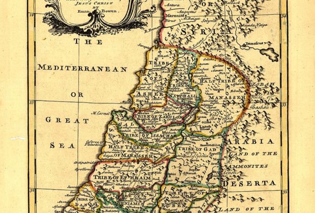
The Bible is not a surveying manual, but its laws, narratives, and prophetic images preserve a world in which moving a stone could threaten a family’s…
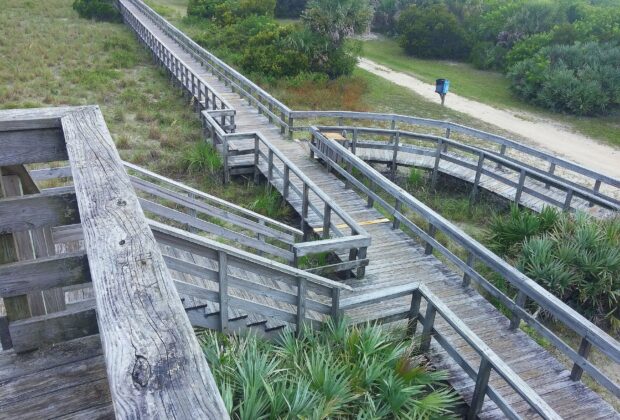
Florida's shoreline brings together tidal measurements, private ownership, public use, and a changing landscape. Understanding the beach begins with separating those relationships.
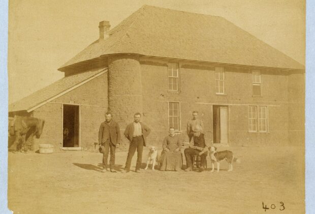
A homestead began with a land description and a promise. Following the paperwork, homes, and communities reveals what the opportunity required—and whose homeland it changed.
Enclosure changed more than the shape of English fields. It reorganized overlapping rights, farm management, and the resources on which rural households depended.
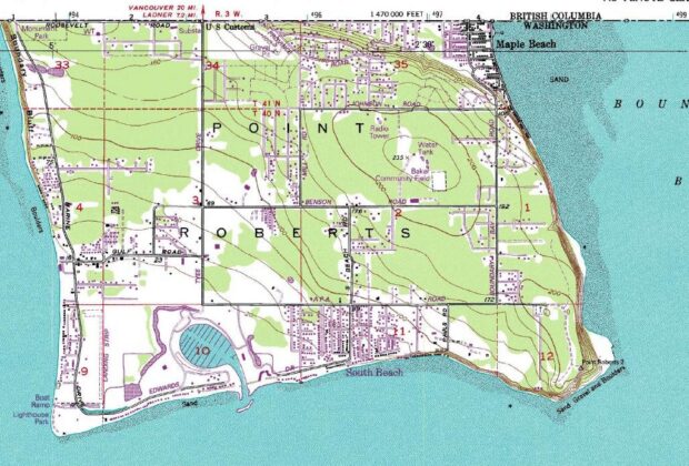
Point Roberts is part of Washington, but its road connection runs through Canada. Its history and daily geography reveal how an international boundary reshapes a small…