Field Notes
Davis Islands, Tampa, Florida, Color
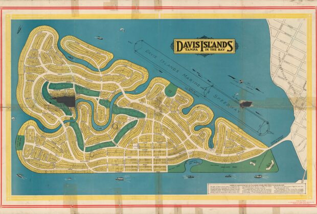
Individual parcels fill this colored plat of Davis Islands, while the reverse carries images and facts about the development. That two-sided format makes it more than a handsome…
From the Index
Maps tell stories about how people understand, measure, navigate, and imagine the world. This growing collection brings together historic maps and map-like objects, with descriptions, creators, dates, source institutions, and rights information that help place each work in context.
Field Notes
Individual parcels fill this colored plat of Davis Islands, while the reverse carries images and facts about the development. That two-sided format makes it more than a handsome…
Field Notes
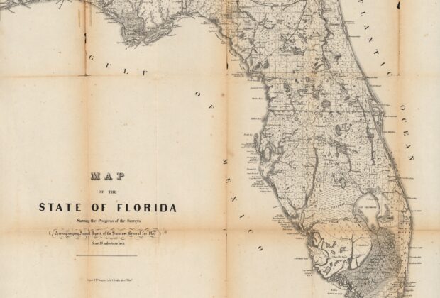
Florida’s survey grid becomes the subject rather than simply the background of this map. Prepared to accompany the surveyor general’s 1857 report, it records township and range alongside…
Field Notes
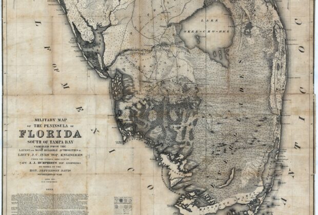
Forts, wagon roads, battle grounds, Indigenous boundaries, trees, and lighthouses share this detailed military map of the peninsula south of Tampa Bay. The range of information shows how…
Field Notes
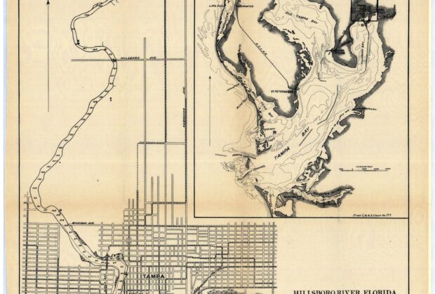
This map follows the Hillsborough River while an inset places it in the wider setting of Tampa Bay. The pairing makes it an effective example of a local…
Field Notes
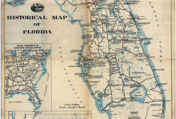
Historic sites, roads, and universities are brought together on this American Automobile Association map. Instead of offering only a route from one town to another, it invites travelers…
Field Notes
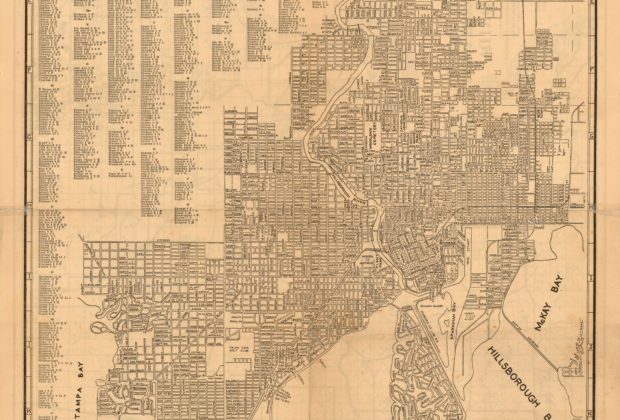
The Tampa Board of Trade’s street map combines a detailed urban reference with a distinctly promotional title. Roads, railroads, waterways, and a street index offer practical information, while…
Field Notes
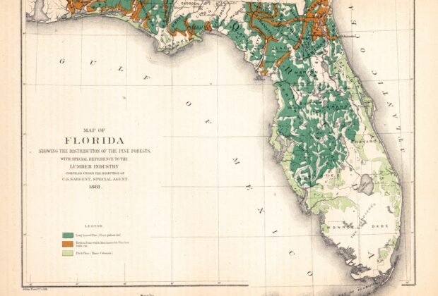
Florida is divided here by pine-forest information rather than county colors alone. The legend distinguishes pine types and areas where merchantable pine had already been cut. That makes…
Field Notes
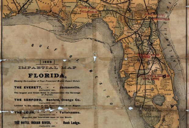
The title promises an impartial view, yet four winter-resort hotels are the reason for this map. Jacksonville, Sanford, Tallahassee, and Rockledge become destinations in a geography of travel…
Field Notes
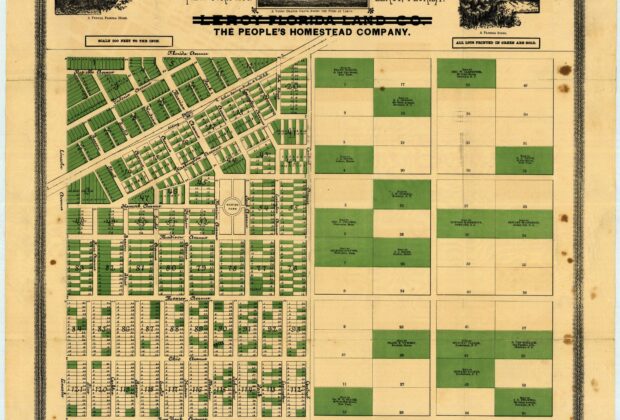
This plat presents Leroy through streets and saleable parcels, including indications of lots already sold. That makes it a useful example of a map designed to participate in…
Field Notes
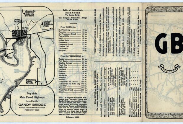
The Gandy Bridge is presented here as part of a travel network, with surrounding highways, distances, traffic rules, and toll information. These practical details make the map a…