Field Notes
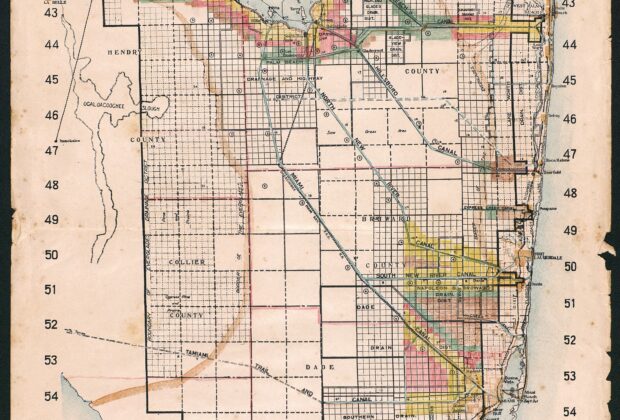
Map of Everglades Drainage District of Florida
Issued in 1924 by the Board of Commissioners of the Everglades Drainage District, this map brings canals, subdrainage districts, tax zones and the survey grid into one view…
From the Index
Maps tell stories about how people understand, measure, navigate, and imagine the world. This growing collection brings together historic maps and map-like objects, with descriptions, creators, dates, source institutions, and rights information that help place each work in context.
Field Notes
Issued in 1924 by the Board of Commissioners of the Everglades Drainage District, this map brings canals, subdrainage districts, tax zones and the survey grid into one view…
Field Notes
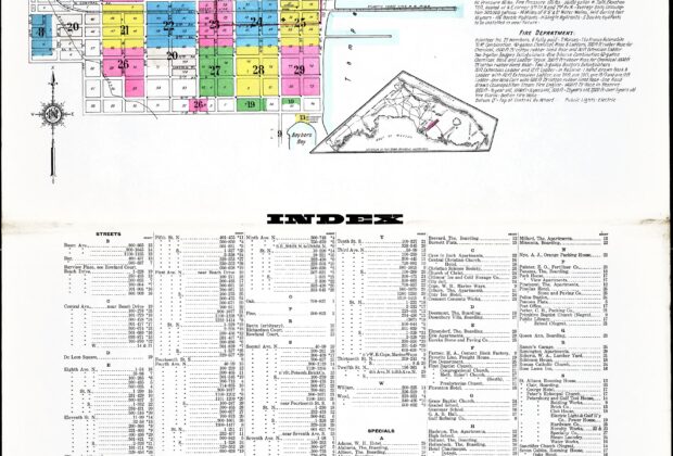
Sanborn’s 1913 atlas records St. Petersburg at the scale of streets, lots and individual buildings. Its color key, building details, water-supply notes and account of the fire department…
Field Notes
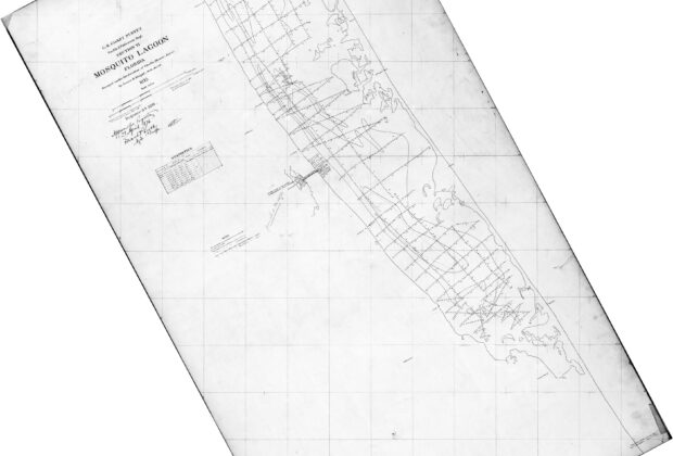
This U.S. Coast Survey hydrographic smooth sheet records the lines of a survey and the depth observations used to chart Mosquito Lagoon. Surveyed in 1875, it preserves the…
Field Notes
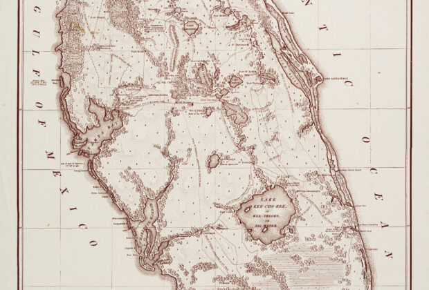
Compiled for the U.S. Secretary of War, this 1838 map places forts, routes, waterways and wetlands within a military view of the Florida peninsula. Its title credits reconnaissance…
Field Notes
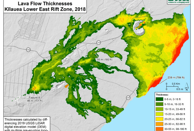
This final map measures the landscape left by Kīlauea’s 2018 lower East Rift Zone eruption. Comparing a 2019 lidar survey with pre-eruption land elevations and seafloor depths made…
Field Notes
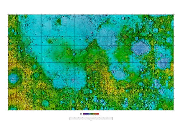
Familiar lunar seas and densely cratered highlands are shown together through shaded relief, an elevation color scale and a detailed network of approved names. The image turns the…
Field Notes
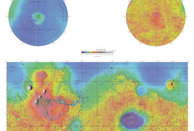
This global map combines regional names with the elevation pattern measured by the Mars Orbiter Laser Altimeter. The contrast between low northern plains, southern highlands, enormous volcanic rises…
Field Notes
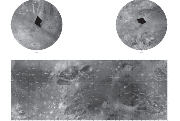
A broad equatorial mosaic and two polar views organize the named landscape of Jupiter’s largest moon. Dark regions, bright grooved terrain and impact features are visible beneath a…
Field Notes
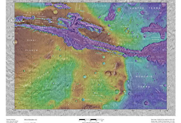
This named terrain map brings the Valles Marineris canyon system into a single regional view. Color-coded laser-altimeter elevations are combined with thermal-infrared imagery, allowing the deep chasms, intervening…
Field Notes
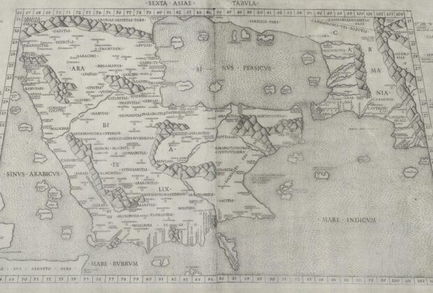
This Rome edition translates Ptolemaic geography into one of the earliest printed maps of the Arabian Peninsula. Two engraved plates meet at the center, enclosing classical place names…