Skip to content
The Lost Surveyor History · Places · Better Maps

From the Index

Collection: The Lost Surveyor Map Archive

Maps tell stories about how people understand, measure, navigate, and imagine the world. This growing collection brings together historic maps and map-like objects, with descriptions, creators, dates, source institutions, and rights information that help place each work in context.

Field Notes

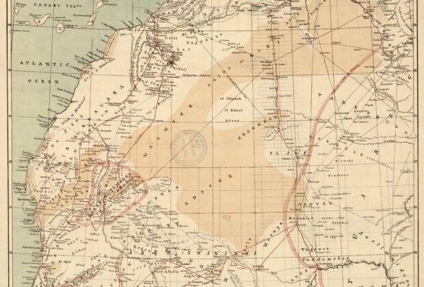
Map of the Western Sahara

Ravenstein’s map brings desert terrain, settlements, and crossing routes into a single regional view stretching from the Atlantic coast toward the Niger. Red lines distinguish the recorded itineraries…

Field Notes

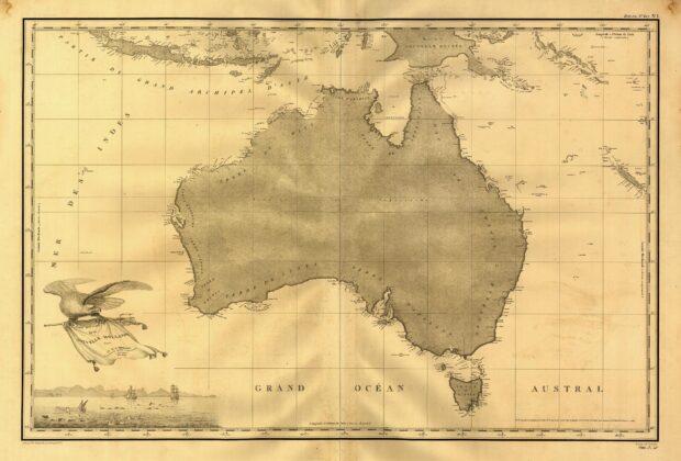
Carte générale de la Nouvelle Hollande

Freycinet’s French-language chart gives Australia a continuous continental outline while concentrating place names and detail around its shores. The contrast between closely labeled coasts and the sparsely described…

Field Notes

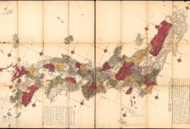
Shinkoku Nihon yochi rotei zenzu

Nagakubo Sekisui’s woodblock map presents Japan as a connected landscape of roads, settlements, coasts and pictorial mountains. Its diagonal orientation places north toward the upper right, while color…

Field Notes

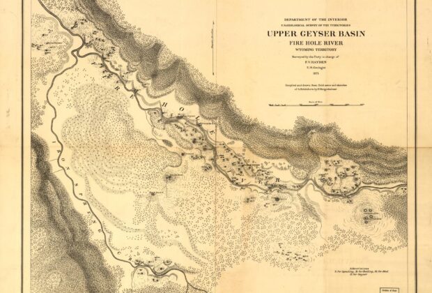
Upper Geyser Basin, Fire Hole River, Wyoming Territory

This focused survey follows the Fire Hole River through Upper Geyser Basin, identifying geysers, springs and the surrounding terrain. Its hachures and compact labels connect named features such…

Field Notes

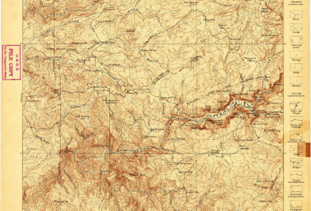
California: Yosemite Sheet

Brown contours, blue drainage and black roads translate the steep Yosemite landscape into a systematic survey. This 1:125,000 sheet covers Yosemite Valley, Hetch Hetchy, Wawona and the surrounding…

Field Notes

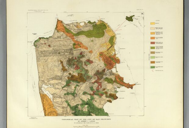
Geological map of the city of San Francisco

Published with the investigation of the 1906 California earthquake, this map places San Francisco’s streets over ten geological units and identifies the original shoreline. Contours and spot heights…