Skip to content
The Lost Surveyor History · Places · Better Maps

From the Index

Collection: The Lost Surveyor Map Archive

Maps tell stories about how people understand, measure, navigate, and imagine the world. This growing collection brings together historic maps and map-like objects, with descriptions, creators, dates, source institutions, and rights information that help place each work in context.

Field Notes

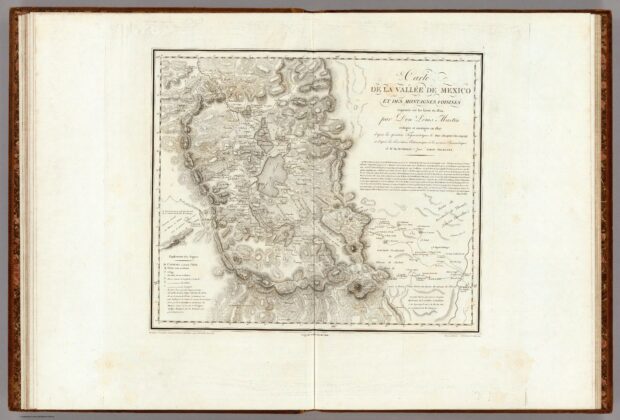
Carte de la Vallée de Mexico et des Montagnes Voisines

The long title makes this map’s working methods unusually visible. Sketches made in 1804 were revised using triangulation, astronomical observations, and barometric measurements, with several contributors named. Cities,…
Field Notes

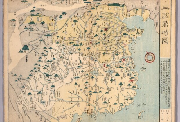
Map of the Three Kingdoms (三国鼎峙図)

This nineteenth-century Japanese atlas looks backward to China’s Three Kingdoms era. Rather than recording the political world of its own publication date, it maps an earlier division of…

Field Notes

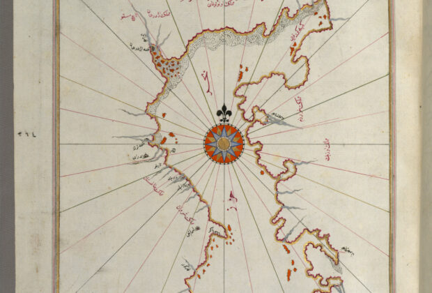
Map of the Caspian Sea from the Book on Navigation

The Caspian Sea closes this expanded copy of Piri Reis’s Book on Navigation. Its presence broadens a manuscript best known for Mediterranean coasts and ports, reminding readers that…

Field Notes

Oval World Map from the Book on Navigation

This oval world map belongs to an expanded Ottoman manuscript of Piri Reis’s Book on Navigation. The original work was composed in 1525, but this richly illustrated copy…