Skip to content
The Lost Surveyor History · Places · Better Maps

From the Index

Collection: The Lost Surveyor Map Archive

Maps tell stories about how people understand, measure, navigate, and imagine the world. This growing collection brings together historic maps and map-like objects, with descriptions, creators, dates, source institutions, and rights information that help place each work in context.

Field Notes

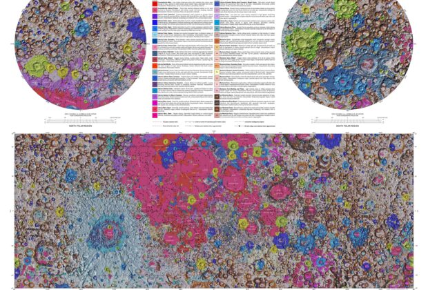
Unified Geologic Map of the Moon

Six Apollo-era geological maps were brought into one consistent global framework and adjusted using newer lunar data. The resulting colors distinguish units and relationships across the Moon rather…

Field Notes

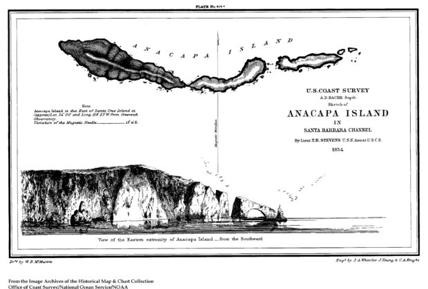
Sketch of Anacapa Island in Santa Barbara Channel

A coastal chart also preserves a small episode in an artist’s career. During his brief employment with the Coast Survey, James McNeill Whistler etched Anacapa’s eastern headland and…

Field Notes

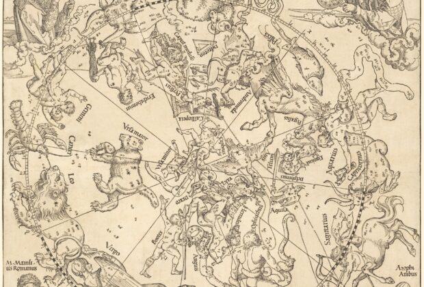
The Northern Celestial Hemisphere

Dürer placed the stars among finely drawn constellation figures and framed the chart with portraits of earlier astronomers. The design follows a tradition that reached Renaissance Europe through…

Field Notes

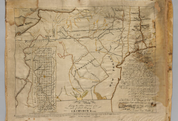
Embroidered Map Sampler

A map does not have to be printed on paper. This New York sampler, made around 1810, was embroidered in silk on silk and measures about fifteen by…

Field Notes

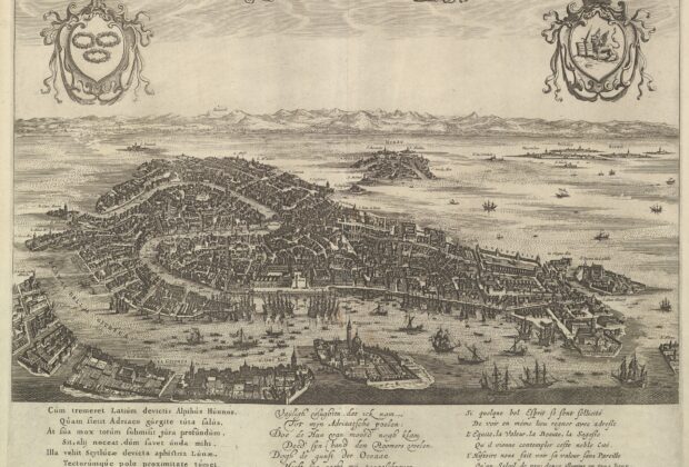
View of Venice

This etched view turns Venice into a city that can be explored from above. Produced by an anonymous Dutch artist and issued by Amsterdam publisher Clement de Jonghe,…

Field Notes

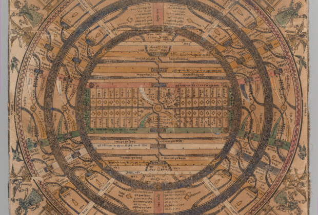
Jain cosmological map of adhaidvipa

Concentric continents and oceans organize this Jain representation of the universe. Mount Meru stands at the center, while the surrounding rings identify the portion of the cosmos in…