Field Notes
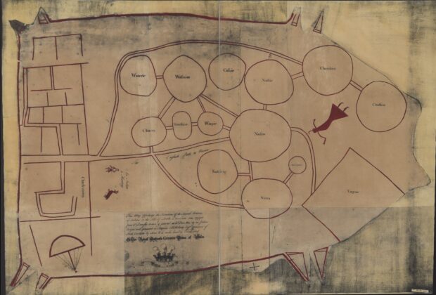
Catawba deerskin map (1929 facsimile)
Circles and connecting paths put communities and relationships at the center of this map of the Southeast. It preserves an Indigenous view through copies of a deerskin original…
From the Index
Maps tell stories about how people understand, measure, navigate, and imagine the world. This growing collection brings together historic maps and map-like objects, with descriptions, creators, dates, source institutions, and rights information that help place each work in context.
Field Notes
Circles and connecting paths put communities and relationships at the center of this map of the Southeast. It preserves an Indigenous view through copies of a deerskin original…
Field Notes
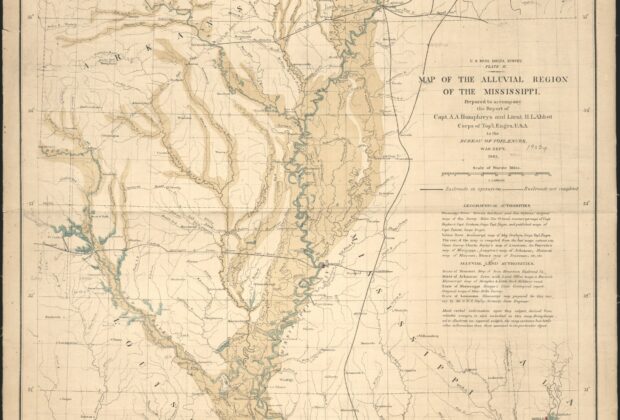
The river is only part of the subject on this map: the surrounding alluvial region is the central feature. By following the Mississippi from Cape Girardeau to its…
Field Notes
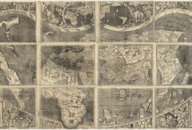
Martin Waldseemüller’s twelve-sheet world map is famous for using the name America, but it is also a striking record of geographic knowledge in transition. Classical traditions and reports…
Field Notes
A disputed colonial boundary becomes a precisely described line in this plan of Mason and Dixon’s survey. Published in Philadelphia in 1768, it records the westward boundary and…
Field Notes
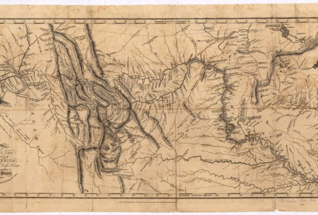
Published years after the expedition returned, this map turned a difficult journey into a picture readers could study at home. Rivers, mountain systems and the expedition’s route reveal…
Field Notes
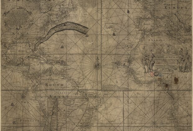
A powerful ocean current becomes a visible route-planning problem on this chart. Franklin and Nantucket captain Timothy Folger combined practical maritime knowledge with a printed Atlantic chart to…
Field Notes
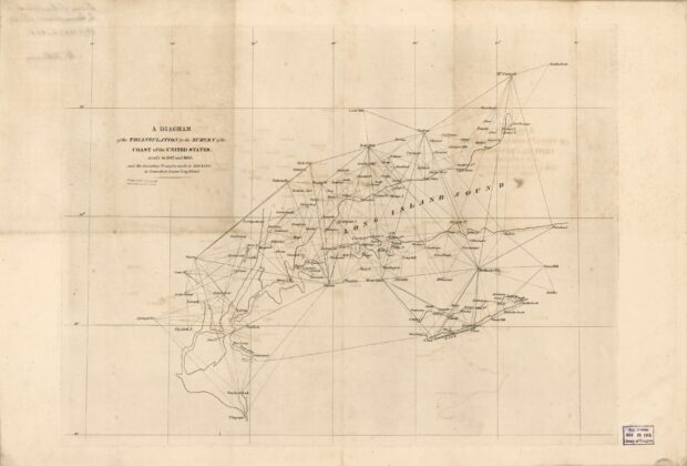
A network of triangles reveals the framework behind coastal mapping. Instead of concentrating on finished shoreline detail, this diagram shows how survey stations were connected across Connecticut, Long…
Field Notes
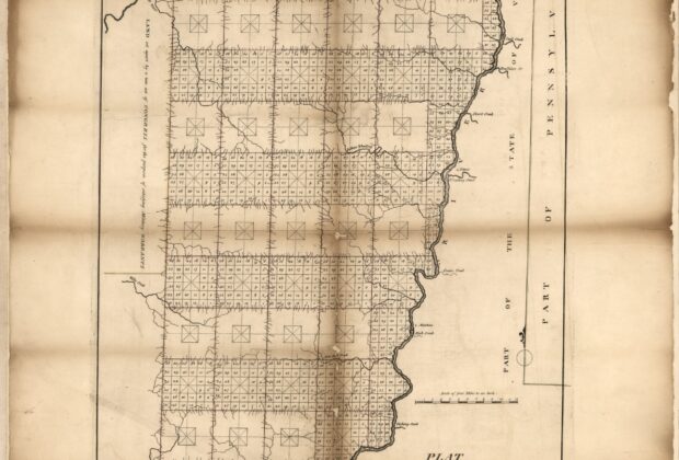
The orderly township grid of the Seven Ranges makes the beginnings of the federal rectangular survey system visible. Published by Mathew Carey from work associated with Thomas Hutchins,…
Field Notes
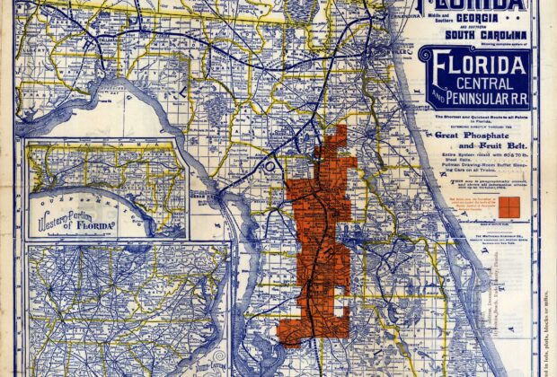
The Florida Central and Peninsular Railroad’s system is laid over a township-and-range framework, with insets extending the view to the western state and wider connections. This is valuable…
Field Notes
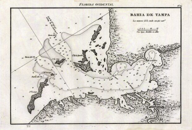
This Spanish nautical chart depicts Tampa Bay with coastal islands and depth information, with north directed toward the upper right of the sheet. Its orientation is a useful…