How land, maps, and measurement shape communities, institutions, livelihoods, identity, religion, literature, and public life, with attention to human consequences and cultural meaning.
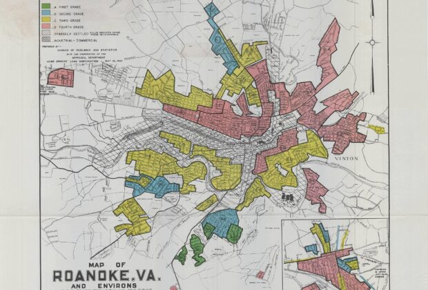
Four colors condensed neighborhood appraisals into a striking map. Understanding redlining requires reading those grades alongside discriminatory policy, lending history, and the people beyond the files.
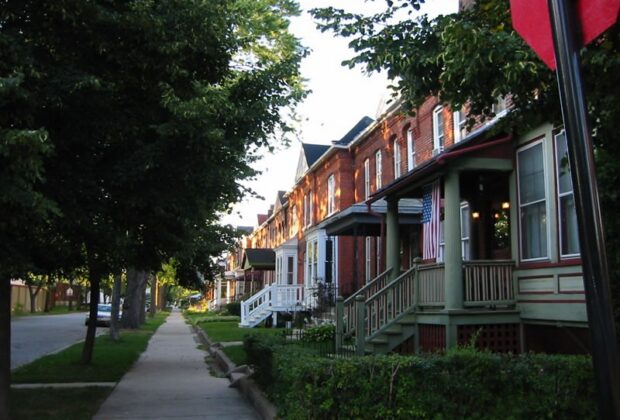
Pullman's handsome company town joined employment and housing in one corporate relationship. Its history reveals both the benefits of planned housing and the tensions of an…
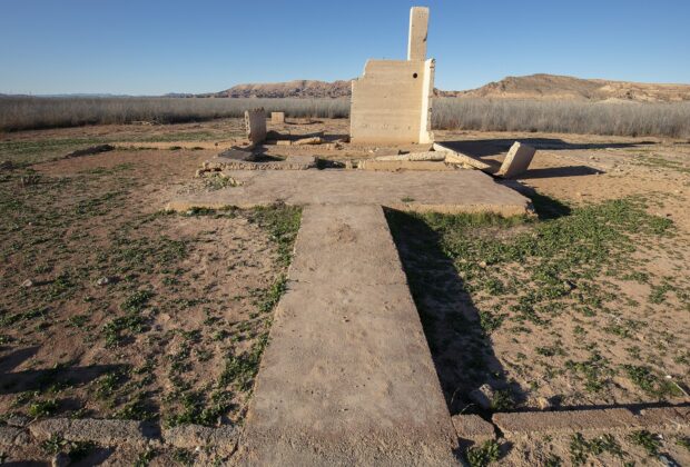
When Lake Mead rose, St. Thomas became part of the reservoir. Its exposed remains connect regional engineering to the homes, businesses, and relationships of a displaced…
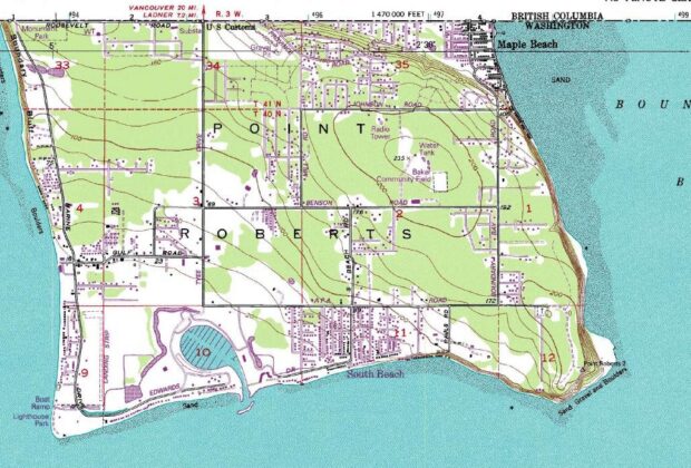
Point Roberts is part of Washington, but its road connection runs through Canada. Its history and daily geography reveal how an international boundary reshapes a small…
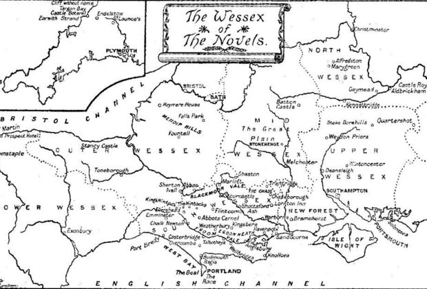
Treasure Island and Thomas Hardy's Wessex show how maps do more than decorate a novel: they shape journeys, livelihoods, and the choices available to its characters.