
Roman agrimensores combined angle-setting, land division, maps, boundary law, and dispute work in a profession whose surviving writings still sound unexpectedly practical.
Rome’s roads and aqueducts attract the eye, but its quieter achievement was administrative: an empire repeatedly turned conquered, granted, taxed, inherited, and disputed land into an ordered record. The specialists called agrimensores or gromatici worked at the meeting point of geometry and law. Their name survives in a late-antique manuscript tradition commonly called the Corpus Agrimensorum Romanorum.
The corpus is not one coherent textbook written at one moment. It gathers authors, diagrams, excerpts, and later copying layers. Some passages address centuriation, some the interpretation of markers, some categories of land, and some controversies. Used carefully, the collection opens a window onto professional reasoning rather than a simple recipe for reconstructing every Roman grid.
The Roman surveyor’s hardest problem was not drawing a straight line; it was explaining what kind of line the law and the landscape had created.
The Groma and the Surveyor’s Name
The groma was a sighting instrument built around crossed arms with hanging plumb lines. Properly set, it helped establish straight lines and right angles. The practitioner associated with it could be called a gromaticus, while agrimensor emphasized the measurement of land. Titles and duties varied across the Roman world.
For a land surveyor, the useful lesson is not that this passage supplies a modern procedure. It is that land was already being made durable through named neighbors, remembered markers, measured quantities, witnesses, and public authority. Those are ancestors of ideas that still appear in deeds, plats, monument records, and boundary testimony. The vocabulary changed; the need to connect human rights to physical ground did not. Instrument names can reveal a craft, but they do not define every task performed by its practitioners.
Laying Out the Colonial Grid
Roman colonial land could be organized through centuriation: intersecting principal axes and a network of limites dividing territory into regular units. The ideal grid was adapted to roads, rivers, older occupation, and terrain. Traces survive in some landscapes, but not every rectangular pattern visible today is Roman or belongs to one original operation.
For a land surveyor, the useful lesson is not that this passage supplies a modern procedure. It is that land was already being made durable through named neighbors, remembered markers, measured quantities, witnesses, and public authority. Those are ancestors of ideas that still appear in deeds, plats, monument records, and boundary testimony. The vocabulary changed; the need to connect human rights to physical ground did not. A designed system is always modified by the ground and by later centuries of use.
Cardo, Decumanus, and Orientation
Modern summaries often describe the cardo as north–south and the decumanus as east–west. Roman practice was more flexible. Axes might respond to topography, coast, road, drainage, an existing town, or a chosen astronomical orientation. The labels identify roles in an organized layout more reliably than universal compass bearings.
For a land surveyor, the useful lesson is not that this passage supplies a modern procedure. It is that land was already being made durable through named neighbors, remembered markers, measured quantities, witnesses, and public authority. Those are ancestors of ideas that still appear in deeds, plats, monument records, and boundary testimony. The vocabulary changed; the need to connect human rights to physical ground did not. Never replace evidence of actual orientation with a tidy textbook convention.
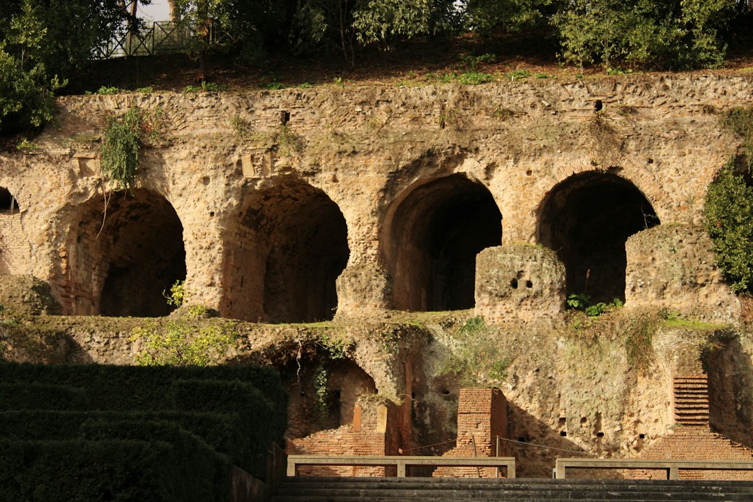
Photo by Mohammed Zayan Khan / Unsplash. Used under the Unsplash License. Source.
From Public Decision to Field Marks
A land division required more than geometry. Authority had to order the allocation, surveyors had to lay it out, markers had to express it on the ground, and records had to preserve it. Roman boundary stones varied in form and inscription. Context—where found, whether moved, and what surrounding evidence survives—is crucial.
For a land surveyor, the useful lesson is not that this passage supplies a modern procedure. It is that land was already being made durable through named neighbors, remembered markers, measured quantities, witnesses, and public authority. Those are ancestors of ideas that still appear in deeds, plats, monument records, and boundary testimony. The vocabulary changed; the need to connect human rights to physical ground did not. Monument recovery begins with identity and provenance, not with shape alone.
Maps, Diagrams, and the Lost Archive
Ancient writers refer to maps and records associated with assignments. The surviving corpus includes stylized diagrams copied and recopied in medieval manuscripts. These images are precious evidence, but they are not transparent photographs of original field plats. Copyists, teaching needs, and manuscript transmission shaped what survives.
For a land surveyor, the useful lesson is not that this passage supplies a modern procedure. It is that land was already being made durable through named neighbors, remembered markers, measured quantities, witnesses, and public authority. Those are ancestors of ideas that still appear in deeds, plats, monument records, and boundary testimony. The vocabulary changed; the need to connect human rights to physical ground did not. A record copy must be evaluated as a copy, including its purpose and opportunities for alteration.
The Corpus Agrimensorum Romanorum
The corpus brings together texts attributed to writers such as Hyginus, Siculus Flaccus, and Frontinus, along with anonymous materials. Their dates and textual histories are complex. Read as a collection, they show recurring concern with land categories, boundaries, allocation, measurements, markers, and controversies.
For a land surveyor, the useful lesson is not that this passage supplies a modern procedure. It is that land was already being made durable through named neighbors, remembered markers, measured quantities, witnesses, and public authority. Those are ancestors of ideas that still appear in deeds, plats, monument records, and boundary testimony. The vocabulary changed; the need to connect human rights to physical ground did not. Professional knowledge often survives as layers rather than as a single authoritative edition.

Photo by Marco De Hevia / Unsplash. Used under the Unsplash License. Source.
Siculus Flaccus and Reading Boundary Evidence
Siculus Flaccus discusses the varied ways boundaries could be marked and the need to understand local practice. Passages describe stones, trees, banks, roads, and other indications, while warning that circumstances differ. Modern surveyors recognize the habit of assembling a boundary from converging evidence rather than demanding one universal marker.
For a land surveyor, the useful lesson is not that this passage supplies a modern procedure. It is that land was already being made durable through named neighbors, remembered markers, measured quantities, witnesses, and public authority. Those are ancestors of ideas that still appear in deeds, plats, monument records, and boundary testimony. The vocabulary changed; the need to connect human rights to physical ground did not. Local custom is not noise around the survey; sometimes it is part of the evidence that makes the line intelligible.
Frontinus and Categories of Controversy
Texts associated with Frontinus classify disputes involving position, area, ownership, and other questions. Classification helped the practitioner identify what was actually contested. A measurement disagreement, a title disagreement, and a disagreement about the location of a recognized line may look alike in the field but require different reasoning.
For a land surveyor, the useful lesson is not that this passage supplies a modern procedure. It is that land was already being made durable through named neighbors, remembered markers, measured quantities, witnesses, and public authority. Those are ancestors of ideas that still appear in deeds, plats, monument records, and boundary testimony. The vocabulary changed; the need to connect human rights to physical ground did not. Before selecting a technical solution, define the legal and factual question.
Centuriation Was Not the Whole Roman Landscape
Roman land included colonies, estates, towns, common lands, roads, military territories, and areas governed by older arrangements. Centuriation is visually memorable, but the empire was not covered by one seamless grid. Regions were transformed unevenly, and local systems could persist beside Roman administration.
For a land surveyor, the useful lesson is not that this passage supplies a modern procedure. It is that land was already being made durable through named neighbors, remembered markers, measured quantities, witnesses, and public authority. Those are ancestors of ideas that still appear in deeds, plats, monument records, and boundary testimony. The vocabulary changed; the need to connect human rights to physical ground did not. The cleanest surviving pattern should not be mistaken for the complete cadastral reality.
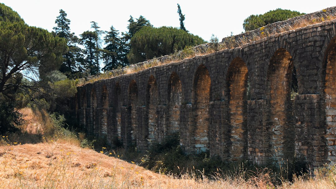
Photo by Miguel Silva / Unsplash. Used under the Unsplash License. Source.
The Afterlife of Roman Surveying
Agrimensorial manuscripts were copied in medieval Europe and later studied by humanists and historians. Roman law and land practices influenced later traditions, but influence was selective and indirect. Modern cadastral surveying emerged through many institutions and technologies, not through an unbroken guild descending from Rome.
For a land surveyor, the useful lesson is not that this passage supplies a modern procedure. It is that land was already being made durable through named neighbors, remembered markers, measured quantities, witnesses, and public authority. Those are ancestors of ideas that still appear in deeds, plats, monument records, and boundary testimony. The vocabulary changed; the need to connect human rights to physical ground did not. Continuity should be demonstrated through records, not assumed from resemblance.
Reading the Evidence Carefully
The Roman material is also a lesson in survival bias. Stone inscriptions and manuscript copies endure more readily than wooden stakes, working sketches, spoken instructions, and ordinary field decisions. What historians can study is therefore not identical to everything Roman surveyors did. A legal or didactic text may emphasize disputed cases because they required explanation, while routine work disappeared. The missing everyday archive should make us cautious about turning a surviving passage into a universal rule.
From Historical Record to Field Practice
Across this history, precision should not be confused with a large number of decimal places. Precision begins with a stated purpose, a suitable reference, controlled observations, and enough redundancy to reveal a mistake. Earlier practitioners expressed those requirements through cords, sight lines, repeated angles, witnesses, and permanent stones. Later surveyors added calibrated chains, optical circles, leveling rods, electronic measurements, satellites, and adjustment software. Every generation gained reach, yet every generation still had to decide which evidence deserved confidence. That judgment—not the novelty of the tool—is the durable craft at the center of surveying.
A Profession Between Geometry and Judgment
The Roman agrimensor is compelling because the profession does not fit the caricature of a technician who merely measured. Its surviving literature wrestles with authority, categories of land, unreliable signs, competing claims, and the need to explain a conclusion. Geometry supplied order, but judgment connected that order to rights.
The corpus also offers a warning. Diagrams and regular grids tempt us to see a perfectly systematic empire. The writings themselves reveal variation and controversy. Roman surveying becomes more interesting—not less—when we allow the lived landscape to remain messier than the ideal plan.
A Field Exercise in Roman Evidence
Suppose a stone stands beside a straight farm track inside a landscape that appears gridded. A tempting conclusion is that the stone marks a Roman centuriation line. A careful investigation would test each link separately: the stone’s date and original setting, the track’s history, the orientation and interval of the wider pattern, excavated evidence, inscriptions, and later cadastral maps. Medieval roads and modern drainage can preserve, shift, or imitate older lines. The Roman writers are valuable because they encourage attention to categories and local signs, but they do not authorize us to skip provenance. The strongest conclusion comes from independent kinds of evidence converging on the same interpretation.
A Surveyor’s Reading Checklist
- Distinguish an ideal centuriation diagram from a surveyed local landscape.
- Treat the Corpus as a layered collection with a complicated transmission history.
- Use cardo and decumanus as functional terms, not automatic compass bearings.
- Evaluate boundary markers by context and provenance.
- Ask whether a controversy concerns measurement, location, area, title, or status.
Sources and Further Reading
- Cambridge University Press: The Writings of the Roman Land Surveyors
- Yale Avalon Project: The Twelve Tables
- The Metropolitan Museum of Art: Roman Art
Image credits appear with each image. Historical claims are framed to distinguish primary texts and surviving artifacts from later interpretation.