
Global Surveying
Measuring China: Ancient Maps, Cadastral Order, and the Principles of Pei Xiu
A history of Chinese land measurement and cartography, from administrative records to gridded maps and Pei Xiu’s enduring principles.
On This Page
- 01 — Introduction
- 02 — Land, Tax, and the Administrative Survey
- 03 — Astronomy and Orientation
- 04 — Pei Xiu’s Cartographic Principles
- 05 — The Yu Ji Tu and the Gridded Image
- 06 — Water Control and Engineering Measurement
- 07 — Reading Chinese Maps Without Forcing Western Categories
- 08 — What the Modern Surveyor Can Carry Forward
- 09 — Sources and Further Reading
Series: Measuring Asia
Chinese surveying history is not a single invention moving steadily toward modern coordinates. It is a long interaction among land administration, taxation, hydraulic works, astronomy, military geography, route knowledge, and mapmaking.
Written evidence and surviving maps are uneven, so claims about “the first” should be treated cautiously. What is clear is that Chinese states repeatedly needed measured land, organized records, and geographic representations capable of supporting administration across large territories.
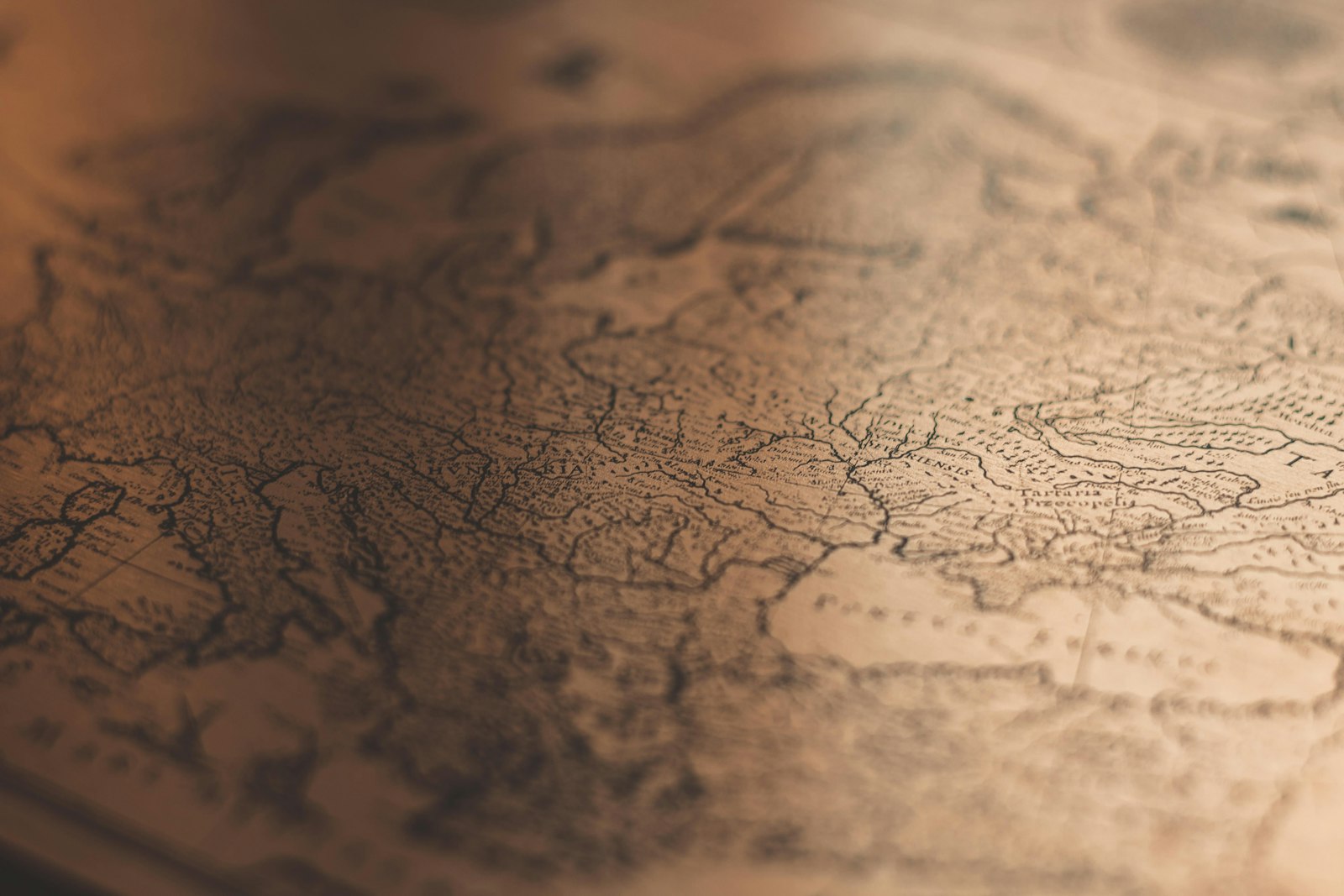
Photograph by Jakob Braun, available through Unsplash.
Land, Tax, and the Administrative Survey
Agricultural land was counted because states needed revenue, labor obligations, and records of tenure. Measurement linked fields to households and local jurisdictions even when units and procedures varied by period.
A cadastre is never just geometry. It is a legal and fiscal information system whose categories determine what the map can say.
The evidence behind land, tax, and the administrative survey is a chain rather than a single artifact. Field measurement, astronomical observation, route survey, cadastral recordkeeping, and cartographic compilation became useful only when observations, reference, computation, checking, and preservation worked together. That chain is the part a modern geomatics professional should look for when a finished map or coordinate appears more certain than its history.
Astronomy and Orientation
Chinese astronomy supplied methods for cardinal direction, latitude-related observation, calendars, and imperial geography. Gnomons and celestial observations connected local measurement to a larger order.
Orientation is a cultural and technical choice. North-up convention is not the only coherent way to organize a map.
The field environment shaped every result. In long routes, varied terrain, seasonal weather, locally specific units, and political jurisdictions, access, weather, visibility, transport, human endurance, and communication limited what could be observed. Successful crews built procedures around those limits instead of assuming an instrument specification would survive unchanged outside the workshop.
Pei Xiu’s Cartographic Principles
The third-century official Pei Xiu is associated with principles concerning scale, a rectangular grid, distance, orientation, and the correction of route information. Surviving descriptions matter more than legends that turn him into a modern surveyor.
His significance lies in explicit quality rules: a map should make its transformations from terrain to page systematic and open to checking.
courts, cadastral offices, astronomical bureaus, local officials, scholars, and mapmakers gave the work scale through standards, training, archives, and authority. Institutions also selected priorities and decided how measurements would be used. A complete history therefore examines both technical accomplishment and the administrative system that commissioned it.
Photograph by Alex Boyd, available through Unsplash.
The Yu Ji Tu and the Gridded Image
The Yu Ji Tu, carved in stone in 1136 and known through rubbings, depicts rivers, coasts, and administrative geography over a regular grid. It demonstrates sophisticated compilation, not necessarily direct modern-style field survey of every line.
A grid supplies scale and comparison, but it does not reveal the accuracy or source of each feature.
The error budget included scale, orientation, pacing or chain length, magnetic behavior, astronomical time, paper distortion, copying, and translation. Some effects could be calibrated, some modeled, some reduced by stronger geometry, and some only bounded through repetition. The terminology predates modern uncertainty statements, but the discipline of identifying what could move the answer is unmistakable.
Water Control and Engineering Measurement
River management, canals, embankments, and irrigation demanded levels, distances, profiles, and repeated maintenance knowledge. Practical measurement was embedded in administration and craft traditions.
Infrastructure surveying often survives indirectly through project records rather than through a textbook devoted solely to surveying.
The connection to present practice is direct. national mapping, cadastral GIS, GNSS control, and digital geospatial archives still depends on declared reference, sensor calibration, independent checks, and metadata. Faster computation changes the volume of work; it does not make lineage optional.
Reading Chinese Maps Without Forcing Western Categories
Pictorial mountains, text, routes, administrative areas, and measured elements can coexist on one sheet. A map may prioritize relationships or governance over uniform planimetric representation.
Evaluation should begin with the map’s purpose. Applying one modern accuracy test to every historical genre can miss what the document was designed to communicate.
Primary sources reward cautious reading. Published products compress abandoned observations, instrument repairs, judgment calls, and later revisions. Field notes, correspondence, control diagrams, and institutional reports help separate what was observed at the time from what later writers inferred.
Photograph by Tatiana Rodriguez, available through Unsplash.
What the Modern Surveyor Can Carry Forward
The Chinese tradition shows how measurement, text, administration, and visual convention can form a coherent geographic system without resembling a modern topographic sheet.
Modern readers gain more by tracing sources, scale, grid, purpose, and copying history than by declaring an ancient map either “accurate” or “symbolic.”
A practical study exercise is to reconstruct one observation from surveying and mapping traditions in East Asia. Identify the instrument, raw quantity, reference surface or origin, corrections, and final published value. Mark which pieces were directly observed and which came from a table, model, assumption, or earlier survey. The resulting diagram often explains more than a list of dates.
Terminology must be handled carefully. Historic uses of “survey,” “map,” “accuracy,” “station,” or “datum” may not match current specifications. Units, scale, prime meridian, calendar, orientation, and transliteration can also change between sources. Apparent disagreement should be normalized before it is interpreted.
Illustrations are evidence only when their provenance is understood. A surviving map may be a copy or later reduction. A museum photograph may show an instrument that resembles, but is not identical to, the equipment used in a particular campaign. Captions on this site identify the image source and license, while the text distinguishes illustrative material from documentary proof.
The strongest account combines official reports, objects or maps, personal records, and later technical analysis. Official records explain intended procedure; working documents reveal implementation; later scholarship identifies systematic effects or social context that the original authors did not discuss.
Older work should be judged against the standards and instruments available to it. Historical crews often achieved remarkable consistency by repeating angles, carrying standards, choosing geometry carefully, and documenting exceptions. Display resolution is not the same as accuracy, in an old instrument or a modern one.
surveying and mapping traditions in East Asia ultimately became durable because it was infrastructure. Marks, tables, records, shared conventions, trained people, and revision procedures allowed later users to recover and extend the work. A memorable individual may begin a project, but a maintained system gives it a life beyond that individual.
A practical study exercise is to reconstruct one observation from surveying and mapping traditions in East Asia. Identify the instrument, raw quantity, reference surface or origin, corrections, and final published value. Mark which pieces were directly observed and which came from a table, model, assumption, or earlier survey. The resulting diagram often explains more than a list of dates.
Terminology must be handled carefully. Historic uses of “survey,” “map,” “accuracy,” “station,” or “datum” may not match current specifications. Units, scale, prime meridian, calendar, orientation, and transliteration can also change between sources. Apparent disagreement should be normalized before it is interpreted.
Illustrations are evidence only when their provenance is understood. A surviving map may be a copy or later reduction. A museum photograph may show an instrument that resembles, but is not identical to, the equipment used in a particular campaign. Captions on this site identify the image source and license, while the text distinguishes illustrative material from documentary proof.
The strongest account combines official reports, objects or maps, personal records, and later technical analysis. Official records explain intended procedure; working documents reveal implementation; later scholarship identifies systematic effects or social context that the original authors did not discuss.
Older work should be judged against the standards and instruments available to it. Historical crews often achieved remarkable consistency by repeating angles, carrying standards, choosing geometry carefully, and documenting exceptions. Display resolution is not the same as accuracy, in an old instrument or a modern one.
surveying and mapping traditions in East Asia ultimately became durable because it was infrastructure. Marks, tables, records, shared conventions, trained people, and revision procedures allowed later users to recover and extend the work. A memorable individual may begin a project, but a maintained system gives it a life beyond that individual.
A practical study exercise is to reconstruct one observation from surveying and mapping traditions in East Asia. Identify the instrument, raw quantity, reference surface or origin, corrections, and final published value. Mark which pieces were directly observed and which came from a table, model, assumption, or earlier survey. The resulting diagram often explains more than a list of dates.
Terminology must be handled carefully. Historic uses of “survey,” “map,” “accuracy,” “station,” or “datum” may not match current specifications. Units, scale, prime meridian, calendar, orientation, and transliteration can also change between sources. Apparent disagreement should be normalized before it is interpreted.
Illustrations are evidence only when their provenance is understood. A surviving map may be a copy or later reduction. A museum photograph may show an instrument that resembles, but is not identical to, the equipment used in a particular campaign. Captions on this site identify the image source and license, while the text distinguishes illustrative material from documentary proof.
The strongest account combines official reports, objects or maps, personal records, and later technical analysis. Official records explain intended procedure; working documents reveal implementation; later scholarship identifies systematic effects or social context that the original authors did not discuss.
Older work should be judged against the standards and instruments available to it. Historical crews often achieved remarkable consistency by repeating angles, carrying standards, choosing geometry carefully, and documenting exceptions. Display resolution is not the same as accuracy, in an old instrument or a modern one.
surveying and mapping traditions in East Asia ultimately became durable because it was infrastructure. Marks, tables, records, shared conventions, trained people, and revision procedures allowed later users to recover and extend the work. A memorable individual may begin a project, but a maintained system gives it a life beyond that individual.
A practical study exercise is to reconstruct one observation from surveying and mapping traditions in East Asia. Identify the instrument, raw quantity, reference surface or origin, corrections, and final published value. Mark which pieces were directly observed and which came from a table, model, assumption, or earlier survey. The resulting diagram often explains more than a list of dates.
Terminology must be handled carefully. Historic uses of “survey,” “map,” “accuracy,” “station,” or “datum” may not match current specifications. Units, scale, prime meridian, calendar, orientation, and transliteration can also change between sources. Apparent disagreement should be normalized before it is interpreted.
Illustrations are evidence only when their provenance is understood. A surviving map may be a copy or later reduction. A museum photograph may show an instrument that resembles, but is not identical to, the equipment used in a particular campaign. Captions on this site identify the image source and license, while the text distinguishes illustrative material from documentary proof.
The strongest account combines official reports, objects or maps, personal records, and later technical analysis. Official records explain intended procedure; working documents reveal implementation; later scholarship identifies systematic effects or social context that the original authors did not discuss.
Older work should be judged against the standards and instruments available to it. Historical crews often achieved remarkable consistency by repeating angles, carrying standards, choosing geometry carefully, and documenting exceptions. Display resolution is not the same as accuracy, in an old instrument or a modern one.
surveying and mapping traditions in East Asia ultimately became durable because it was infrastructure. Marks, tables, records, shared conventions, trained people, and revision procedures allowed later users to recover and extend the work. A memorable individual may begin a project, but a maintained system gives it a life beyond that individual.
A practical study exercise is to reconstruct one observation from surveying and mapping traditions in East Asia. Identify the instrument, raw quantity, reference surface or origin, corrections, and final published value. Mark which pieces were directly observed and which came from a table, model, assumption, or earlier survey. The resulting diagram often explains more than a list of dates.
Terminology must be handled carefully. Historic uses of “survey,” “map,” “accuracy,” “station,” or “datum” may not match current specifications. Units, scale, prime meridian, calendar, orientation, and transliteration can also change between sources. Apparent disagreement should be normalized before it is interpreted.