
Instruments & Methods
Surveying Across the Seas, Part 2: John Harrison and the Clock That Carried Longitude
How John Harrison’s marine timekeepers turned reference time into a practical east-west position at sea.
On This Page
- 01 — Introduction
- 02 — A Carpenter Enters Precision Clockmaking
- 03 — H1 and the Moving Deck
- 04 — H2 and H3: Learning Through Difficult Designs
- 05 — H4: A Watch Instead of a Machine
- 06 — Trials, Rewards, and Reproducibility
- 07 — K1, Captain Cook, and Operational Confidence
- 08 — What the Modern Surveyor Can Carry Forward
- 09 — Sources and Further Reading
Series: Surveying Across the Seas
The famous longitude prize was not merely a reward for a clever idea. It was a demand for demonstrated performance at sea. The method had to survive a voyage, produce useful longitude, and be transferable beyond the inventor’s workshop.
John Harrison approached the problem through precision timekeeping. If a ship preserved the time at a reference meridian, an astronomical observation could establish local time and the difference would provide longitude. His career became a decades-long exercise in design, calibration, trials, documentation, and institutional persuasion.
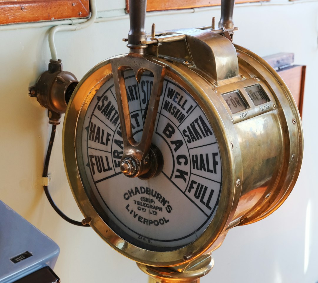
Photo by Dmitrii E. / Unsplash. Used under the Unsplash License. Source.
A Carpenter Enters Precision Clockmaking
Harrison was largely self-taught and came to clockmaking through woodworking and practical mechanics. His early clocks showed unusual attention to friction, lubrication, material behavior, and long-term rate.
His outsider status encouraged original solutions but complicated acceptance. Measurement communities need innovation and repeatability, and the two are not always recognized at the same pace.
The practical importance of a carpenter enters precision clockmaking lies in the chain of evidence. Celestial observation, carried time, dead reckoning, and hydrographic control did not become dependable merely because an instrument produced a reading. Observers had to identify the reference, describe conditions, apply corrections, compare independent information, and preserve a record another person could review. That sequence is recognizable in modern geomatics, even when software performs much of the reduction.
H1 and the Moving Deck
The first marine timekeeper replaced the pendulum with linked balances intended to cancel the effect of ship motion. Temperature compensation and low-friction mechanisms addressed errors that ordinary clocks could not tolerate.
A sea trial mattered more than a workshop demonstration because the operating environment was part of the specification.
Field conditions shaped the result as strongly as theory. In a vessel moving through open water, temperature, visibility, access, transportation, fatigue, and communication all imposed limits. The crews succeeded by designing procedures around those limits. Their work is a reminder that accuracy specifications must be matched by occupations, checks, and logistics capable of achieving them outside a laboratory.
H2 and H3: Learning Through Difficult Designs
Harrison spent years on larger successors, refining balances, temperature compensation, and mechanisms. Progress exposed smaller effects as the dominant errors were reduced.
That pattern is familiar in high-precision surveying: removing one error does not finish the problem; it reveals the next line of the error budget.
Institutions mattered because a measurement network outlives any one observer. observatories, hydrographic offices, navies, instrument makers, and chart publishers supplied standards, training, computation, archives, and authority. It could also impose political priorities. Reading the technical record therefore requires attention to who commissioned the work, who performed it, whose knowledge was used, and how the finished coordinates or maps affected people on the ground.
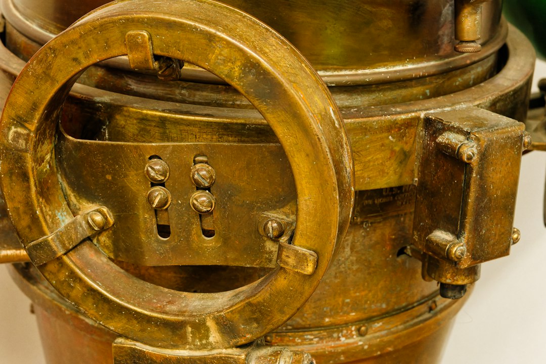
Photo by Eric Prouzet / Unsplash. Used under the Unsplash License. Source.
H4: A Watch Instead of a Machine
H4 used a compact, high-energy balance and exceptional workmanship. Its successful Jamaica trial showed that a portable timekeeper could preserve reference time accurately enough for practical longitude.
The design was a conceptual change, not simply a smaller H3. Sometimes improved precision comes from changing the physical approach rather than refining the existing form.
Every stage carried a different error budget. clock rate, index error, refraction, horizon dip, compass variation, current, leeway, and imperfect charts could enter separately or interact. Good practice did not assume those effects vanished; it measured, modeled, repeated, or bounded them. The historical language differs from modern uncertainty analysis, but the underlying discipline is familiar: identify what can move the answer and create an observation plan able to reveal it.
Trials, Rewards, and Reproducibility
Disputes continued over statutory requirements, disclosure of construction, trial interpretation, and payment. Harrison received substantial awards but fought for full recognition.
One excellent result is evidence, while a reproducible method is infrastructure. Institutions were justified in asking whether other makers and navigators could obtain comparable performance.
The modern connection is not decorative. GNSS navigation and modern hydrographic surveying still relies on the same underlying logic: establish a reference, observe relationships, reduce the data, test closure or consistency, and communicate limitations. New sensors increase speed and density, but they do not remove the need to understand where a coordinate came from or whether it answers the question being asked.
K1, Captain Cook, and Operational Confidence
Larcum Kendall produced K1 as a copy of H4, and Captain Cook used it successfully on his second voyage. The clock did not produce a position alone; it supplied reference time to be combined with celestial observation.
The successful system joined hardware, rate determination, logs, tables, trained observers, and charts. The chronometer became valuable because it fit a complete workflow.
Primary records often look more certain than the work felt in the field. A finished map, published height, or polished report compresses failed observations, weather delays, instrument trouble, judgment calls, and recalculation into a clean result. Reading field notes, instrument descriptions, correspondence, and later adjustments restores that missing texture and helps distinguish the original observation from later interpretation.
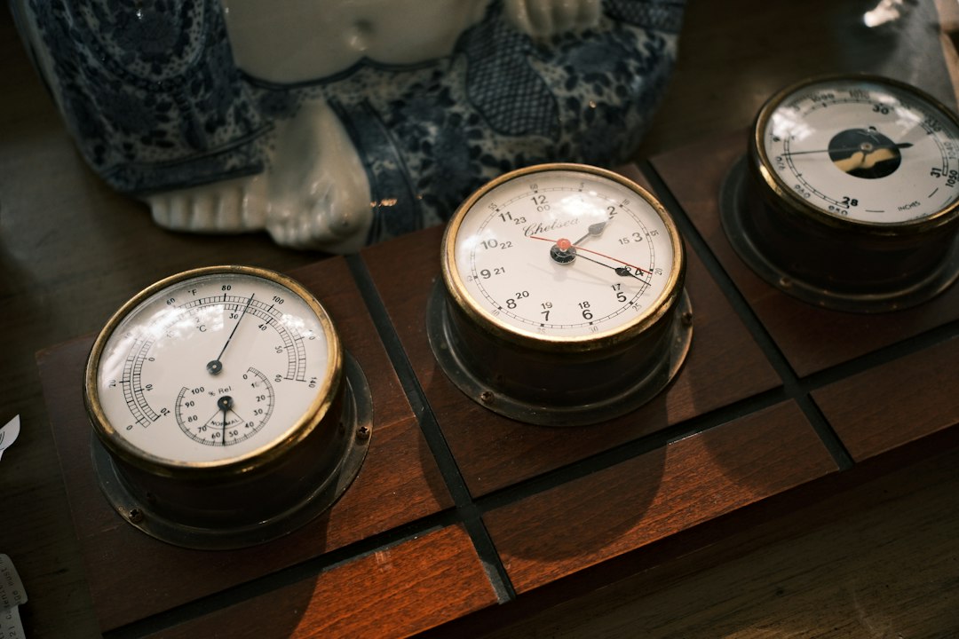
Photo by Hongwei FAN / Unsplash. Used under the Unsplash License. Source.
What the Modern Surveyor Can Carry Forward
A marine chronometer was calibrated equipment, not an oracle. Navigators tracked its error and daily rate, compared clocks, and checked carried time astronomically when possible. Corrections were part of the measurement.
The instrument transformed time into an east-west coordinate. Part 3 explains how sextants, almanacs, hydrographic surveys, and standardized procedures completed the measured ocean.
A useful way to study ocean navigation and maritime surveying is to reconstruct one observation from beginning to end. Start with the instrument and the raw quantity it measured. Identify the reference surface or origin. List every correction in the order it entered. Then ask which quantities were observed directly and which came from tables, assumptions, or prior surveys. This exercise turns a historical narrative into a working measurement model.
The vocabulary deserves care. Historical writers may use “accuracy,” “error,” “station,” “datum,” or “survey” differently from a modern specification. Units can change between documents, and coordinates may be quoted without repeating their meridian or reference frame. Apparent disagreements sometimes disappear once scale, epoch, instrument constants, or adopted values are placed on the same basis.
Images also require interpretation. A photograph of a large instrument may show a ceremonial demonstration rather than ordinary field use. A map may be a later copy, a compilation, or a reduced publication rather than the original field sheet. Captions should identify the repository, creator, date, and rights statement whenever they are known, and readers should follow the source link before treating an illustration as technical proof.
The strongest histories of ocean navigation and maritime surveying combine institutional reports with personal records and later technical analysis. Official reports explain the intended method; field books and correspondence reveal implementation; later geodetic or historical studies identify systematic effects the original crews could not fully quantify. Agreement among those layers is more persuasive than repetition of a familiar anecdote.
Nothing in this history suggests that older crews were careless because their numerical precision was lower. They often extracted extraordinary value from limited instruments by repeating work, calibrating equipment, choosing geometry deliberately, and documenting exceptions. The fair comparison is between methods and their available standards, not between an old field book and the display resolution of a modern receiver.
Finally, ocean navigation and maritime surveying is best understood as infrastructure. A single observation may be memorable, but durable value comes from a maintained system of reference marks, tables, charts, records, training, and revision. Surveying becomes civilization-scale technology when later users can recover the reference, evaluate the lineage, and extend the work without beginning again.
A useful way to study ocean navigation and maritime surveying is to reconstruct one observation from beginning to end. Start with the instrument and the raw quantity it measured. Identify the reference surface or origin. List every correction in the order it entered. Then ask which quantities were observed directly and which came from tables, assumptions, or prior surveys. This exercise turns a historical narrative into a working measurement model.
The vocabulary deserves care. Historical writers may use “accuracy,” “error,” “station,” “datum,” or “survey” differently from a modern specification. Units can change between documents, and coordinates may be quoted without repeating their meridian or reference frame. Apparent disagreements sometimes disappear once scale, epoch, instrument constants, or adopted values are placed on the same basis.
Images also require interpretation. A photograph of a large instrument may show a ceremonial demonstration rather than ordinary field use. A map may be a later copy, a compilation, or a reduced publication rather than the original field sheet. Captions should identify the repository, creator, date, and rights statement whenever they are known, and readers should follow the source link before treating an illustration as technical proof.
The strongest histories of ocean navigation and maritime surveying combine institutional reports with personal records and later technical analysis. Official reports explain the intended method; field books and correspondence reveal implementation; later geodetic or historical studies identify systematic effects the original crews could not fully quantify. Agreement among those layers is more persuasive than repetition of a familiar anecdote.
Nothing in this history suggests that older crews were careless because their numerical precision was lower. They often extracted extraordinary value from limited instruments by repeating work, calibrating equipment, choosing geometry deliberately, and documenting exceptions. The fair comparison is between methods and their available standards, not between an old field book and the display resolution of a modern receiver.
Finally, ocean navigation and maritime surveying is best understood as infrastructure. A single observation may be memorable, but durable value comes from a maintained system of reference marks, tables, charts, records, training, and revision. Surveying becomes civilization-scale technology when later users can recover the reference, evaluate the lineage, and extend the work without beginning again.
A useful way to study ocean navigation and maritime surveying is to reconstruct one observation from beginning to end. Start with the instrument and the raw quantity it measured. Identify the reference surface or origin. List every correction in the order it entered. Then ask which quantities were observed directly and which came from tables, assumptions, or prior surveys. This exercise turns a historical narrative into a working measurement model.
The vocabulary deserves care. Historical writers may use “accuracy,” “error,” “station,” “datum,” or “survey” differently from a modern specification. Units can change between documents, and coordinates may be quoted without repeating their meridian or reference frame. Apparent disagreements sometimes disappear once scale, epoch, instrument constants, or adopted values are placed on the same basis.
Images also require interpretation. A photograph of a large instrument may show a ceremonial demonstration rather than ordinary field use. A map may be a later copy, a compilation, or a reduced publication rather than the original field sheet. Captions should identify the repository, creator, date, and rights statement whenever they are known, and readers should follow the source link before treating an illustration as technical proof.
The strongest histories of ocean navigation and maritime surveying combine institutional reports with personal records and later technical analysis. Official reports explain the intended method; field books and correspondence reveal implementation; later geodetic or historical studies identify systematic effects the original crews could not fully quantify. Agreement among those layers is more persuasive than repetition of a familiar anecdote.
Nothing in this history suggests that older crews were careless because their numerical precision was lower. They often extracted extraordinary value from limited instruments by repeating work, calibrating equipment, choosing geometry deliberately, and documenting exceptions. The fair comparison is between methods and their available standards, not between an old field book and the display resolution of a modern receiver.
Finally, ocean navigation and maritime surveying is best understood as infrastructure. A single observation may be memorable, but durable value comes from a maintained system of reference marks, tables, charts, records, training, and revision. Surveying becomes civilization-scale technology when later users can recover the reference, evaluate the lineage, and extend the work without beginning again.
A useful way to study ocean navigation and maritime surveying is to reconstruct one observation from beginning to end. Start with the instrument and the raw quantity it measured. Identify the reference surface or origin. List every correction in the order it entered. Then ask which quantities were observed directly and which came from tables, assumptions, or prior surveys. This exercise turns a historical narrative into a working measurement model.