
Maps & Mapping
Introducing the Lost Surveyor Map Archive
A digital map archive is taking shape at Lost Surveyor, with Florida at its center, carefully attributed sources and tools for looking closely at the history on each sheet.
On This Page
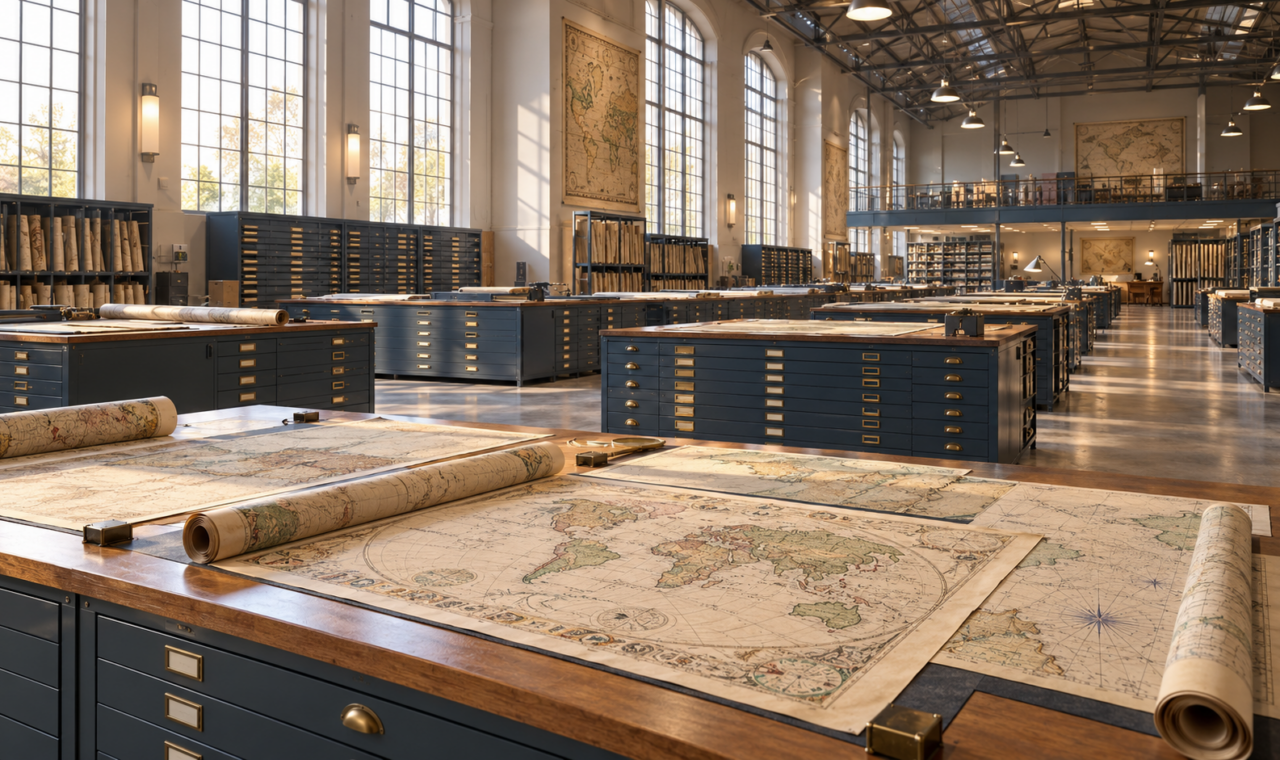
Featured illustration: Artistic illustration of the Lost Surveyor digital Map Archive.
An old map can make a familiar place look unfamiliar. A coastline takes a different shape, a town carries another name, or a railway crosses ground where the tracks have long disappeared. Lost Surveyor is building a digital Map Archive to make historically important and revealing maps easier to explore, with Florida at the center and room for significant works from the wider world of cartography.
Florida at the center
Florida offers a rich starting point: coastal charts, early territorial maps, town plans, survey plats and maps of transportation and settlement. The planned collection will bring these different views of the state together, helping readers examine how places were measured, represented and understood over time. Maps from elsewhere will broaden that view, with selections that illuminate developments in surveying, navigation, scientific knowledge and cartographic design.
Each map has a history of its own. Catalog records are intended to identify its title, creator, date, geographic coverage and source, alongside rights information and a short account of why it matters. Those details give readers a way to distinguish editions, understand a map’s original purpose and follow the evidence back to the institution that holds it. An attractive image becomes more useful when its context travels with it.
Sources and tools
The source research includes the University of Florida’s digital map collections, Florida State University’s digital collections and the Library of Congress map collections. These collections exist because libraries and archives have preserved, scanned and cataloged the maps in their care. We’ll credit that work, link back to their records and check the conditions for sharing each map here.
Behind the collection is a combination of established tools and custom development. WordPress provides the site’s foundation, with Tainacan organizing the catalog and its descriptive information. OpenSeadragon is being integrated for close-up viewing. The image-processing workflow and custom integrations created for Lost Surveyor will handle image preparation in the background. The aim is to let readers move from the whole sheet to fine lettering and linework without loading a large archival image all at once.
The archive is still under development. Its guiding idea is straightforward: give a map enough space to be examined and enough context to be understood. For readers interested in Florida’s changing landscape, or in how people have put the world on paper, the collection is being built around the pleasure and value of looking closely.