
People of Surveying
From Compass to White House: George Washington and Abraham Lincoln as Surveyors
A factual look at the real surveying work of George Washington and Abraham Lincoln, the records they left, and the land systems in which they worked.
On This Page
- 01 — Introduction
- 02 — Washington’s first profession
- 03 — A survey signed by Washington
- 04 — What the young surveyor had to do
- 05 — Lincoln learns a trade in New Salem
- 06 — Bath: a town plan inside a federal section
- 07 — What surveying can—and cannot—explain about a president
- 08 — Sources and further reading
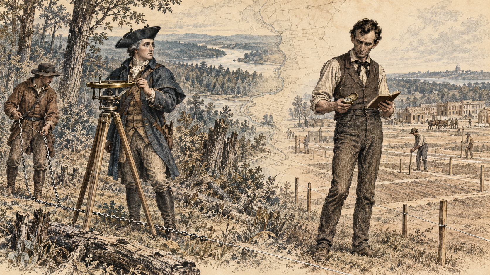
Before George Washington commanded an army and Abraham Lincoln argued the future of the Union, both earned money by surveying land. The familiar fact is often reduced to a line in a presidential biography. Their surviving work deserves a closer look. It shows young men learning a demanding trade in which arithmetic, physical effort, written records, and public trust had immediate consequences for other people’s property.
Washington and Lincoln did not practice in the same kind of land system. Washington’s early surveys belonged to colonial Virginia’s world of warrants, proprietary grants, adjoining tracts, and metes-and-bounds descriptions. Lincoln worked in an Illinois landscape increasingly organized by federal townships and sections, while communities required roads, lots, and other local surveys. Looking at an actual document from each man makes that difference tangible.
Washington’s first profession
Washington began studying geometry and surveying while young, and his association with the Fairfax family opened opportunities on Virginia’s frontier. In 1748 he accompanied a surveying expedition connected with George William Fairfax. In July 1749, at seventeen, he received appointment as surveyor of the newly created Culpeper County.
This was a consequential position. People seeking title to land needed surveys that identified their claims, and the surveyor occupied a practical junction between the landscape and the offices that issued or recorded grants. The work brought fees, influential contacts, and knowledge of land that might later be acquired. Skill mattered, but so did patronage and access to the people who controlled appointments and property.
Washington’s professional surveying extended beyond Culpeper. The Library of Congress’s account describes much of his work in the western Northern Neck, particularly the country associated with Frederick and Hampshire counties. His concentrated period of professional surveying ran from 1749 into 1752. Military responsibilities followed, but maps, surveys, and land interests remained important throughout his life.
A survey signed by Washington
The Library of Congress preserves Washington’s November 17, 1750 survey for John Lindsey, a tract of 223 acres in Frederick County, Virginia. The sheet is more instructive than a romantic painting of a young Washington beside a compass. Here are the products of the work itself: a small lettered plat, a written description, a statement of authority, the names of field assistants, and Washington’s signature.
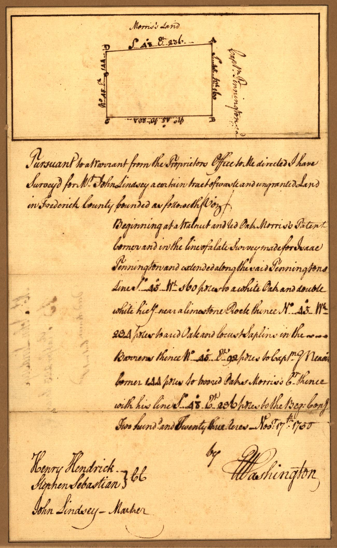
The description begins by connecting the assignment to a warrant from the proprietor’s office. It then walks around the tract through courses, distances, and identifiable features. Trees and neighboring claims help locate the land within an existing landscape of boundaries. The words do much of the work that a modern viewer might initially expect the drawing to perform.
Notice the relationship between the letters on the little diagram and the narrative below it. The plat provides an overview of the tract’s arrangement; the written calls supply the route around its perimeter. Neither should be treated as an independent, complete substitute for the other. A pleasing rectangular outline is not permission to ignore different written distances or the particular corners and adjoining lines described.
The distances on this sheet are expressed in poles. A pole, also called a rod or perch in this surveying tradition, is 16.5 feet. Four poles make a standard 66-foot Gunter’s chain. These linked units made field measurements and area calculations manageable without electronic instruments. They also remind us that an old number is not meaningful until its unit has been identified.
What the young surveyor had to do
A compass supplied direction, while a chain and its operators supplied distance. The chainmen had to keep the measurement aligned and account for uneven ground; other members of the party helped locate or mark the corners. The surveyor organized observations into a coherent description and calculated the enclosed area. Washington’s sheet acknowledges this teamwork by recording assistants as well as the person certifying the result.
Even a simple tract demanded more than drawing four lines. Which tree was intended? Did an adjoining survey provide a controlling line? Where did a course begin? What would make the corner recognizable to someone returning years later? These questions connect Washington’s work to the evidence problems faced by surveyors today, despite the enormous change in instruments.
Surveying also served a colonial system of land acquisition and expansion. A warrant or grant described authority within that system; it did not erase the broader history of Indigenous land use and dispossession. Nor was Washington merely an observer of the land economy. His knowledge and connections contributed to his own opportunities as a landowner and investor.
Lincoln learns a trade in New Salem
Lincoln came to surveying by a different route. During his New Salem years in the early 1830s, he worked at several occupations while seeking a more stable livelihood. The National Park Service dates his employment as a deputy to Sangamon County surveyor John Calhoun to late 1833. Surveying joined such activities as postmaster work and helped him earn money while he studied and became involved in public affairs.
His limited formal schooling did not eliminate the mathematical demands of the job. He had to learn the methods needed to measure land and prepare records that clients and public officials could use. The familiar story of determination is more convincing when attached to those responsibilities than when presented as proof that the work was easy for a talented beginner.
The legal setting differed from Washington’s Virginia. Much Illinois land could be identified by section, township, range, and principal meridian. That larger framework did not remove the need for local surveys. A tract within a section might still require subdivision into streets, alleys, public spaces, and individually described lots.
Bath: a town plan inside a federal section
A particularly useful example is Lincoln’s survey of Bath, Illinois, certified November 1, 1836. The surviving document reproduced by the Papers of Abraham Lincoln is a handwritten recorded transcription in Sangamon County Deed Book K, page 155. That distinction matters: it preserves the survey and certificate, but it should not be described as an autograph sheet in Lincoln’s own hand.
The record locates the town on the left bank of the Illinois River, in the northwest quarter of section 17, Township 20 North, Range 9 West of the Third Principal Meridian. This is the federal framework acting as an address for a more detailed local plan. The town’s lots did not float independently on the map; they were situated within an already described portion of the public-land system.
Its dimensions turn that abstract framework into a place people could use. Main Street was to be 66 feet wide, the other streets 49½ feet, and the alleys 16 feet. Lot frontages were 66 feet and depths 124 feet. A stone was identified at the north corner of the public square. The record thus combined three essential elements: an overall location, dimensions for the internal arrangement, and a physical reference on the ground.
That stone deserves attention. Readers often imagine rectangular surveys as an alternative to monuments, as though a numbered section alone could fix every later detail. Lincoln’s plan demonstrates the contrary. The township-and-section description identifies the larger tract, while the town survey needs its own relationships and evidence to make the subdivision recoverable.
The document also contains a separate acknowledgment by proprietor John Kerton, dated November 30, 1836, dedicating the streets, alleys, and public grounds. The surveyor’s certification and the proprietor’s declaration perform different jobs. One attests to the survey and map; the other expresses the owner’s act concerning the land shown. Reading both explains more than looking at the geometry alone.
What surveying can—and cannot—explain about a president
Both men’s early work required them to make observations, calculate, write clearly, and produce results other people would rely upon. Both also worked within land systems that connected individual opportunity to larger questions of government and expansion. Their surveys offer direct evidence of those experiences, rather than merely a flattering symbol attached to later fame.
It is reasonable to see surveying as one influence on their familiarity with land, records, and practical responsibility. It would be harder to prove that it caused a particular presidential decision or automatically created a particular virtue. Washington’s military and political formation involved far more than his early profession; Lincoln’s development included law, electoral politics, reading, and personal experience well beyond his surveying years.
Their careers also caution against imagining a single path into the profession. Washington entered through a colonial appointment and influential connections. Lincoln added surveying to several kinds of work while developing his education and prospects. The common ground is the task: make a piece of land understandable in measurements and words that someone else can use.
The most revealing memorials to these presidential surveyors are therefore the records themselves. Washington’s Lindsey survey joins trees, neighboring lands, distances, and a signed description. Lincoln’s Bath record joins a federal land address to streets, lots, a public square, and a stone. In both, the future president is visible as a working surveyor responsible for a particular place. That is a smaller story than a national legend, but it is also a more concrete and instructive one.
Sources and further reading
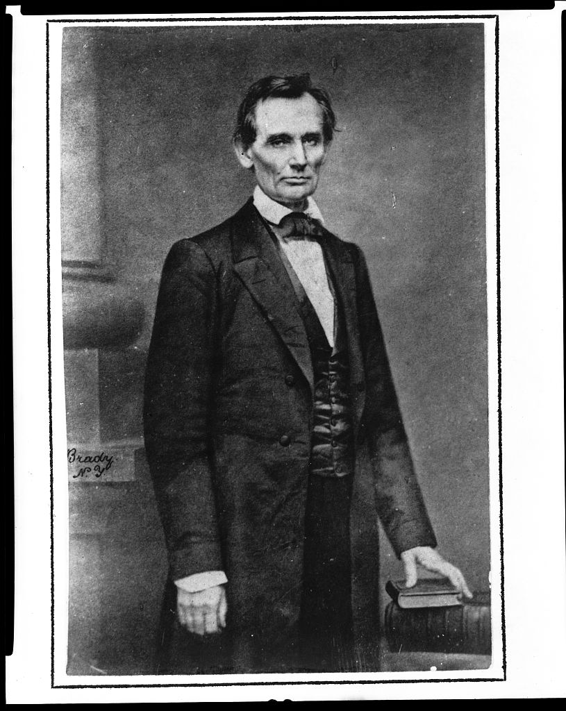
Library of Congress, Washington as Public Land Surveyor and Plat of Survey for John Lindsey (1750); National Park Service, Lincoln’s New Salem Years; Papers of Abraham Lincoln Digital Library, Survey of Bath, Illinois (November 1, 1836), document D301643, including the recorded proprietor’s acknowledgment; and the Library of Congress catalog record for Brady’s Cooper Union portrait of Lincoln.
For more on the different kinds of evidence in these documents, see Reading the Old Plats and Lines Across a Young Nation.