Infrastructure & Engineering
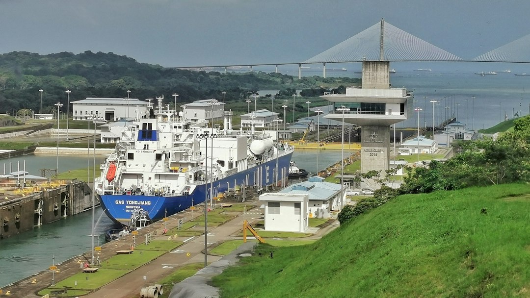
Surveying the Panama Canal, Part 3: Measuring a Living Canal
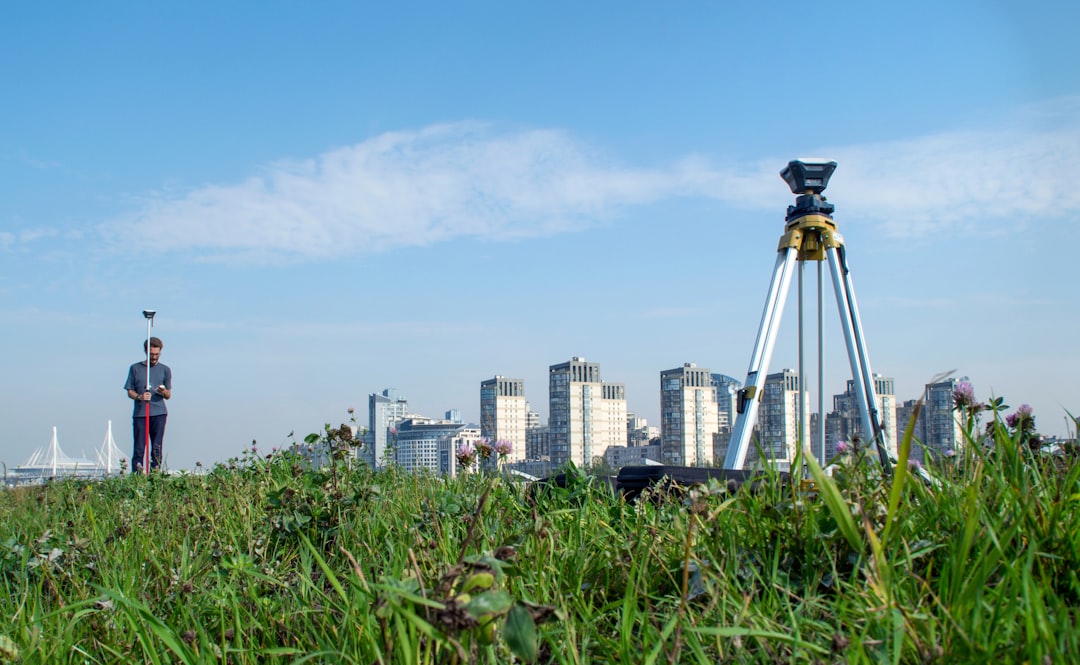
How hydrography, deformation monitoring, as-builts, and modern geospatial control support an operating and expanding canal.
From the Index
Reports, histories, and working notes filed under this subject.
Infrastructure & Engineering
How hydrography, deformation monitoring, as-builts, and modern geospatial control support an operating and expanding canal.
Infrastructure & Engineering
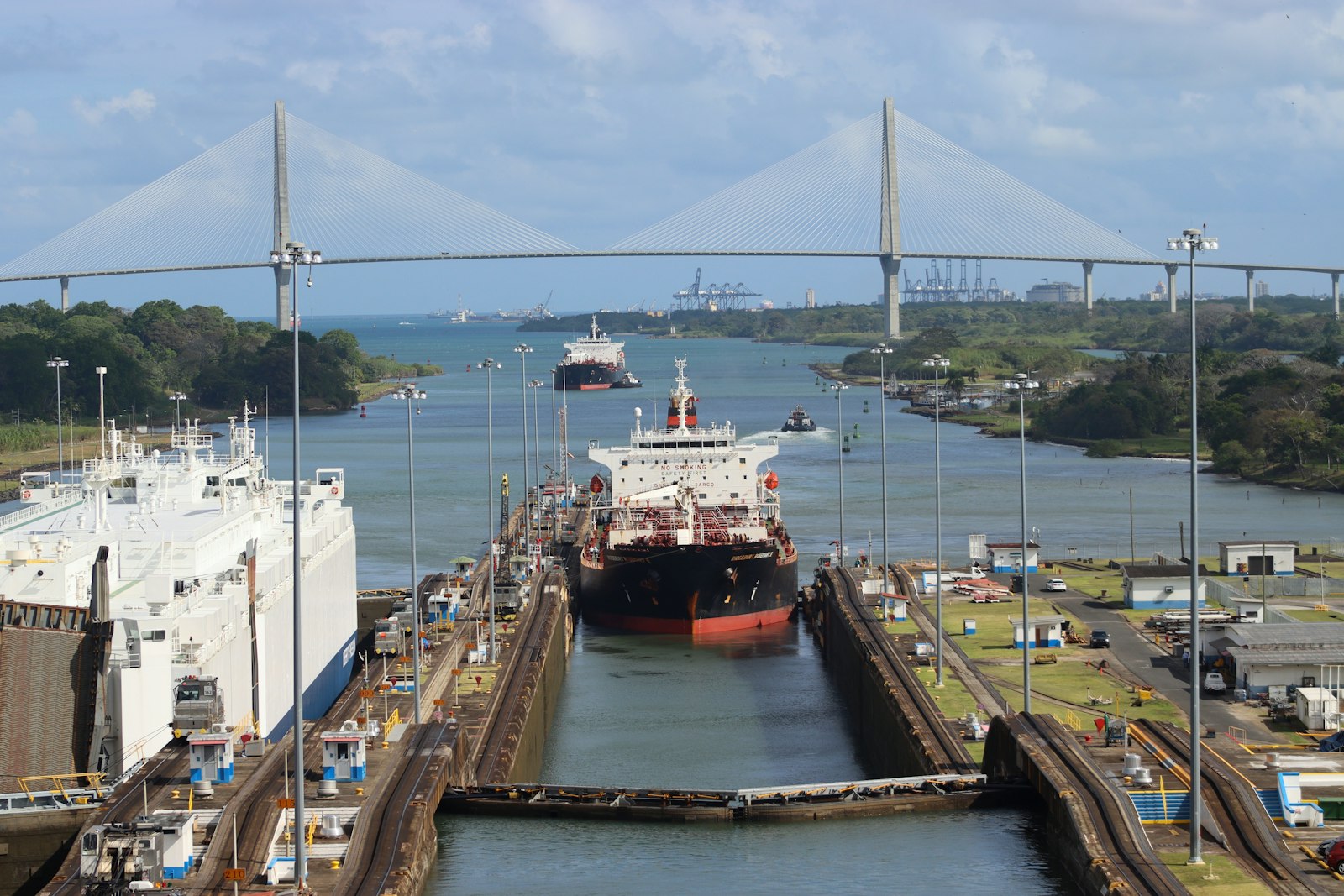
The survey control, grades, quantities, alignment, and records behind the canal’s locks, dam, and massive excavation.
Infrastructure & Engineering
How reconnaissance, maps, levels, rivers, and competing canal concepts shaped the choice of a route across Panama.
Infrastructure & Engineering
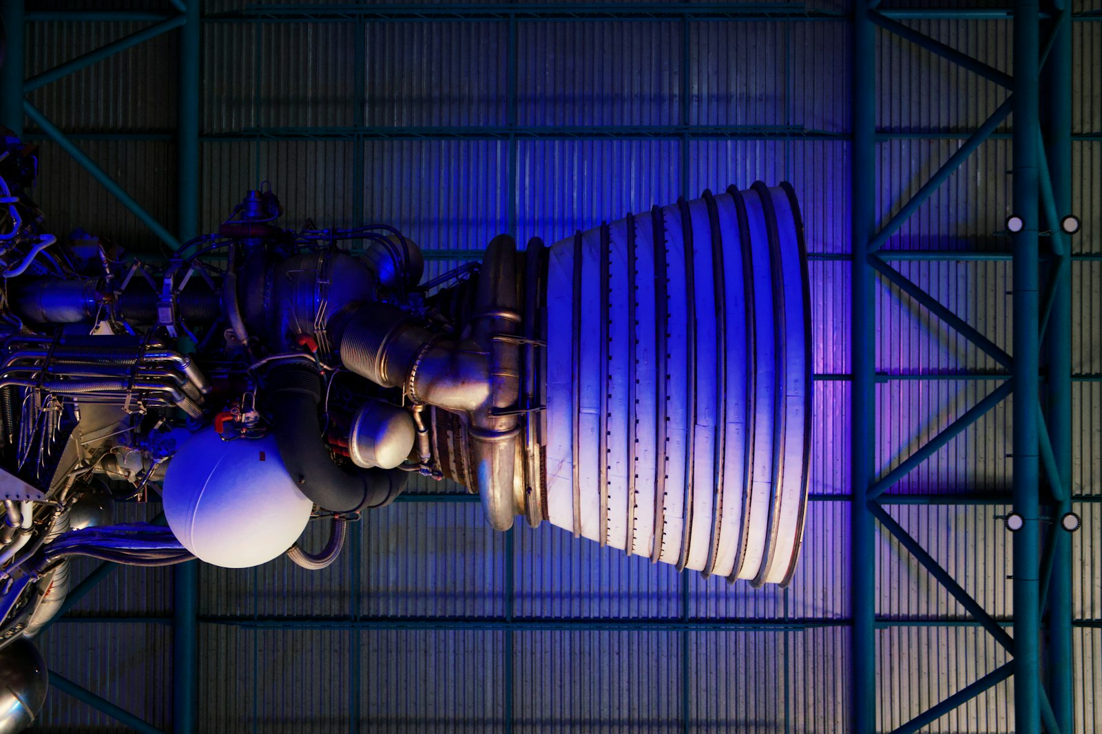
How construction control, structural monitoring, precision alignment, and verification support a rocket before it leaves the pad.
Instruments & Methods
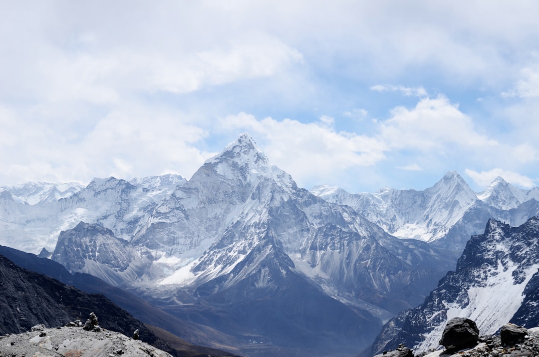
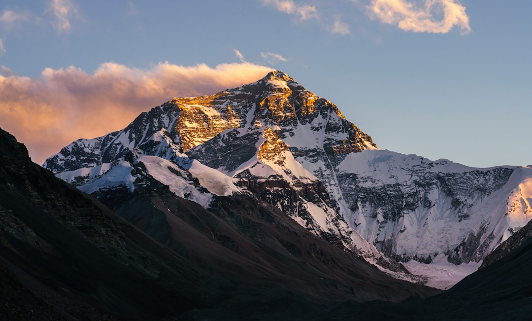
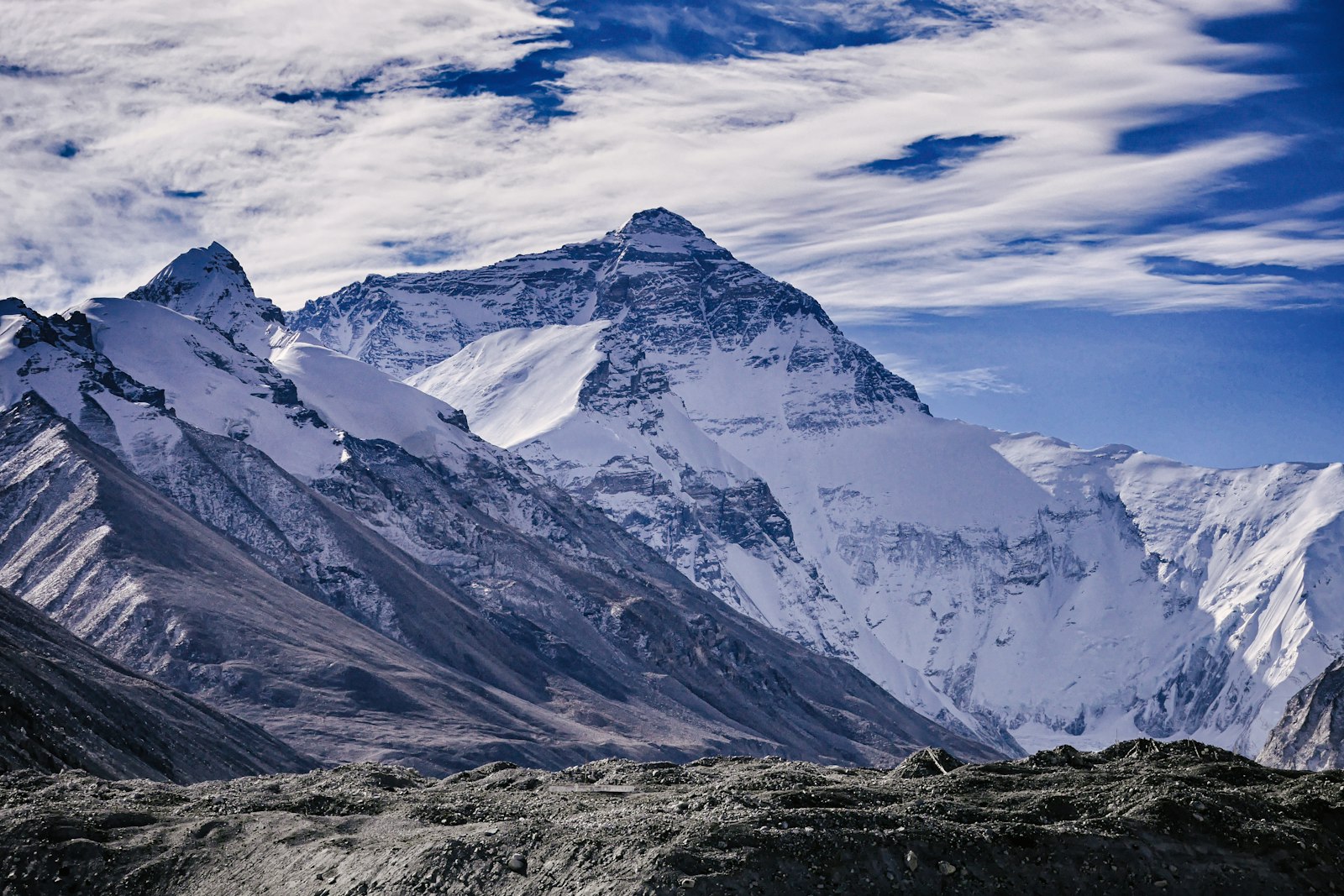
Why modern Everest measurements depend on GNSS, gravity, snow depth, reference frames, and a clear definition of height.
Instruments & Methods
The distant observations, calculations, corrections, and people behind the first accepted height of the world’s highest mountain.
Instruments & Methods
How baselines, giant theodolites, triangulation, and an immense field organization carried a geodetic network across India.
Instruments & Methods
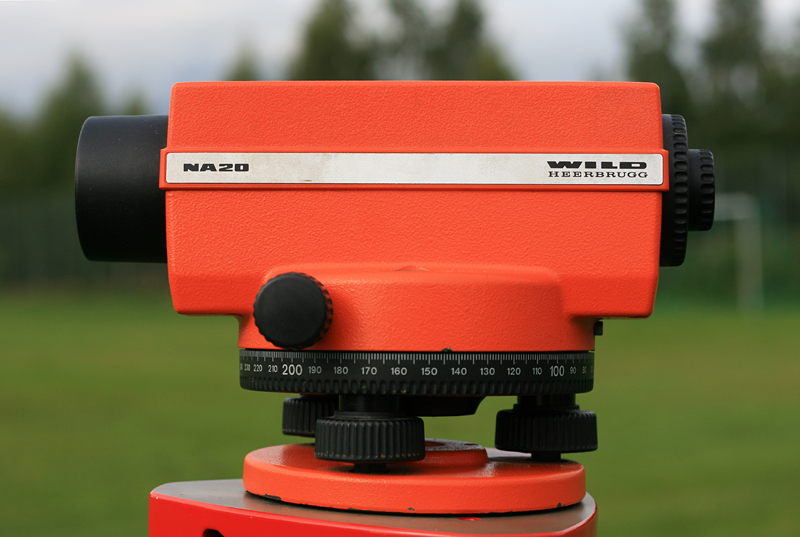
Establishing height has always required a definition of level, a reliable sight line, and a path of observations strong enough to reveal accumulated error.
Instruments & Methods
The history of distance measurement runs from counted metal links and slope corrections to timed electromagnetic waves—but every era has depended on standards, calibration, and field judgment.
Instruments & Methods
From open sights and divided circles to transits, total stations, and robotic tracking, the theodolite’s history is a story of making direction repeatable.