
Series: Surveying the Space Age
A rocket launch appears to begin at ignition, but its geometry begins much earlier. Roads, crawlerways, foundations, towers, tanks, service structures, mobile launchers, and the vehicle itself must be constructed, assembled, aligned, inspected, and monitored within controlled coordinate systems.
Public NASA material documents the immense physical scale of Launch Complex 39, while professional accounts describe launch-vehicle alignment surveys. Exact tolerances and procedures vary by program and may be proprietary, so this article distinguishes documented public facts from general metrology practice.
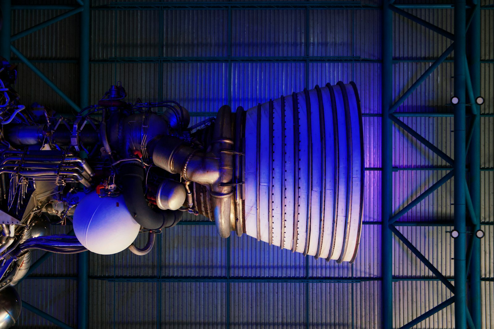
Photograph by Brian McGowan, available through Unsplash.
A Geodetic Framework for a Spaceport
A launch center needs stable horizontal and vertical control connecting design, construction, utilities, structures, transportation routes, and later modifications. Local project coordinates must be related clearly to broader datums.
Large facilities accumulate surveys over decades. Monument stability, transformations, and records become as important as the initial control.
The evidence behind a geodetic framework for a spaceport is a chain rather than a single artifact. High-precision control, optical alignment, inertial navigation, radio tracking, laser ranging, timing, and reference-frame estimation became useful only when observations, reference, computation, checking, and preservation worked together. That chain is the part a modern geomatics professional should look for when a finished map or coordinate appears more certain than its history.
Constructing the Pad
NASA describes Pad 39B as a massive complex of reinforced structures, flame trench, tanks, utilities, lightning protection, and access systems. Each component has location, elevation, clearance, and interface requirements.
Construction staking is only the beginning; as-built surveys and dimensional verification protect the fit between systems designed by different teams.
The field environment shaped every result. In large launch structures, vibration, thermal movement, restricted work zones, moving vehicles, and the geometry of Earth and Moon, access, weather, visibility, transport, human endurance, and communication limited what could be observed. Successful crews built procedures around those limits instead of assuming an instrument specification would survive unchanged outside the workshop.
Moving the Launcher
At Kennedy, a crawler-transporter carries the mobile launcher and vehicle between the Vehicle Assembly Building and pad. The route and support surfaces must maintain geometry under extraordinary loads.
A transportation corridor becomes part of the measurement system when deflection, settlement, clearance, and repeatability affect later alignment.
NASA, contractors, observatories, tracking networks, standards laboratories, and international geodetic services gave the work scale through standards, training, archives, and authority. Institutions also selected priorities and decided how measurements would be used. A complete history therefore examines both technical accomplishment and the administrative system that commissioned it.
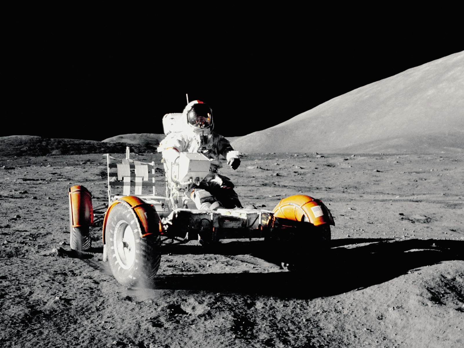
NASA photograph, available through the NASA collection on Unsplash.
Launch-Vehicle Alignment
Professional surveying accounts describe optical and precision survey methods used to verify launch-vehicle components and reference axes. The work can involve specialized targets, instrument networks, repeated setups, and comparison with engineering coordinates.
Alignment is a three-dimensional relationship among axes, interfaces, and gravity. It is not equivalent to occupying one point with GNSS.
The error budget included instrument alignment, control stability, thermal expansion, timing, atmospheric delay, reference-frame realization, sensor bias, and orbital modeling. Some effects could be calibrated, some modeled, some reduced by stronger geometry, and some only bounded through repetition. The terminology predates modern uncertainty statements, but the discipline of identifying what could move the answer is unmistakable.
Thermal and Structural Movement
Large steel and concrete structures change with temperature and load. A vehicle’s condition during assembly may differ from its condition at the pad or after fueling.
Metrology must specify when a dimension applies. Time, load state, and temperature are part of the observation metadata.
The connection to present practice is direct. launch-site metrology, spacecraft navigation, GNSS, satellite and lunar laser ranging, and planetary mapping still depends on declared reference, sensor calibration, independent checks, and metadata. Faster computation changes the volume of work; it does not make lineage optional.
Verification and Independent Checks
Critical work uses redundant observations, calibrated equipment, controlled procedures, and independent review. Survey data joins mechanical measurements, sensors, and engineering analysis.
The surveyor’s value is not merely high precision but traceable precision that another discipline can use and audit.
Primary sources reward cautious reading. Published products compress abandoned observations, instrument repairs, judgment calls, and later revisions. Field notes, correspondence, control diagrams, and institutional reports help separate what was observed at the time from what later writers inferred.
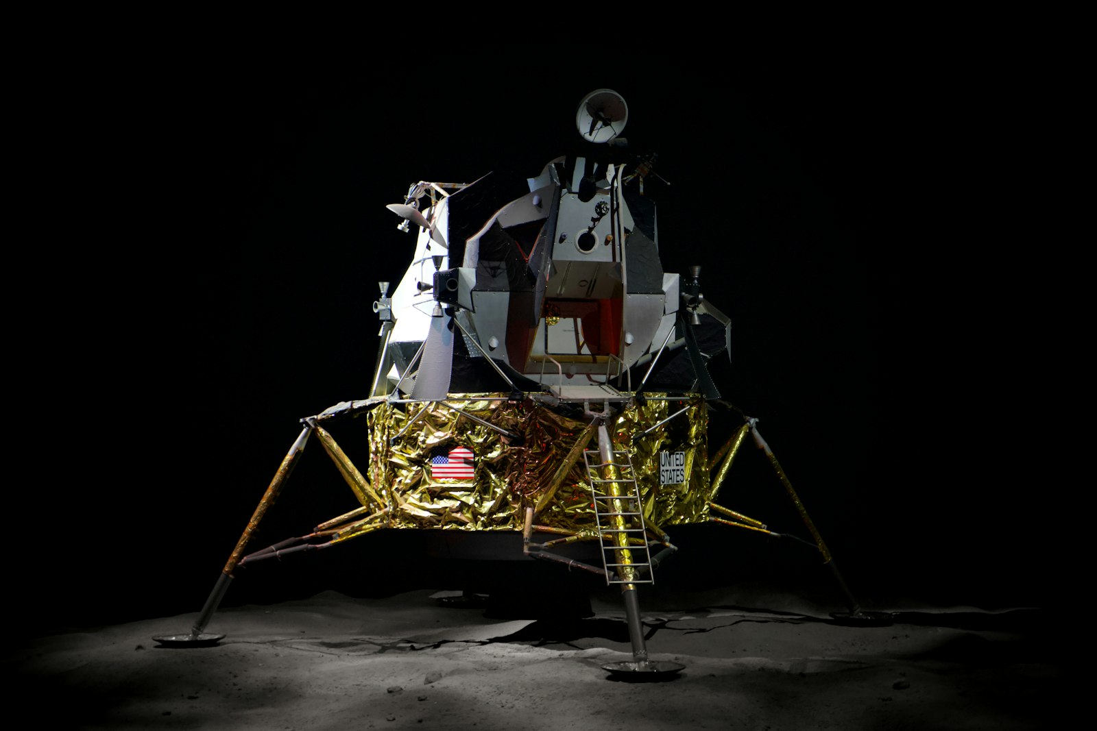
Photograph by Brian McGowan, available through Unsplash.
What the Modern Surveyor Can Carry Forward
Documented launch facilities make clear that surveying is woven through construction and configuration control. Public evidence supports the broad role, while project-specific claims should be tied to a disclosed program source.
The profession’s familiar habits—control, adjustment, as-builts, monitoring, and alignment—scale directly into aerospace when tolerances, loads, and consequences become extraordinary.
A practical study exercise is to reconstruct one observation from surveying, navigation, and geodesy in spaceflight. Identify the instrument, raw quantity, reference surface or origin, corrections, and final published value. Mark which pieces were directly observed and which came from a table, model, assumption, or earlier survey. The resulting diagram often explains more than a list of dates.
Terminology must be handled carefully. Historic uses of “survey,” “map,” “accuracy,” “station,” or “datum” may not match current specifications. Units, scale, prime meridian, calendar, orientation, and transliteration can also change between sources. Apparent disagreement should be normalized before it is interpreted.
Illustrations are evidence only when their provenance is understood. A surviving map may be a copy or later reduction. A museum photograph may show an instrument that resembles, but is not identical to, the equipment used in a particular campaign. Captions on this site identify the image source and license, while the text distinguishes illustrative material from documentary proof.
The strongest account combines official reports, objects or maps, personal records, and later technical analysis. Official records explain intended procedure; working documents reveal implementation; later scholarship identifies systematic effects or social context that the original authors did not discuss.
Older work should be judged against the standards and instruments available to it. Historical crews often achieved remarkable consistency by repeating angles, carrying standards, choosing geometry carefully, and documenting exceptions. Display resolution is not the same as accuracy, in an old instrument or a modern one.
surveying, navigation, and geodesy in spaceflight ultimately became durable because it was infrastructure. Marks, tables, records, shared conventions, trained people, and revision procedures allowed later users to recover and extend the work. A memorable individual may begin a project, but a maintained system gives it a life beyond that individual.
A practical study exercise is to reconstruct one observation from surveying, navigation, and geodesy in spaceflight. Identify the instrument, raw quantity, reference surface or origin, corrections, and final published value. Mark which pieces were directly observed and which came from a table, model, assumption, or earlier survey. The resulting diagram often explains more than a list of dates.
Terminology must be handled carefully. Historic uses of “survey,” “map,” “accuracy,” “station,” or “datum” may not match current specifications. Units, scale, prime meridian, calendar, orientation, and transliteration can also change between sources. Apparent disagreement should be normalized before it is interpreted.
Illustrations are evidence only when their provenance is understood. A surviving map may be a copy or later reduction. A museum photograph may show an instrument that resembles, but is not identical to, the equipment used in a particular campaign. Captions on this site identify the image source and license, while the text distinguishes illustrative material from documentary proof.
The strongest account combines official reports, objects or maps, personal records, and later technical analysis. Official records explain intended procedure; working documents reveal implementation; later scholarship identifies systematic effects or social context that the original authors did not discuss.
Older work should be judged against the standards and instruments available to it. Historical crews often achieved remarkable consistency by repeating angles, carrying standards, choosing geometry carefully, and documenting exceptions. Display resolution is not the same as accuracy, in an old instrument or a modern one.
surveying, navigation, and geodesy in spaceflight ultimately became durable because it was infrastructure. Marks, tables, records, shared conventions, trained people, and revision procedures allowed later users to recover and extend the work. A memorable individual may begin a project, but a maintained system gives it a life beyond that individual.
A practical study exercise is to reconstruct one observation from surveying, navigation, and geodesy in spaceflight. Identify the instrument, raw quantity, reference surface or origin, corrections, and final published value. Mark which pieces were directly observed and which came from a table, model, assumption, or earlier survey. The resulting diagram often explains more than a list of dates.
Terminology must be handled carefully. Historic uses of “survey,” “map,” “accuracy,” “station,” or “datum” may not match current specifications. Units, scale, prime meridian, calendar, orientation, and transliteration can also change between sources. Apparent disagreement should be normalized before it is interpreted.
Illustrations are evidence only when their provenance is understood. A surviving map may be a copy or later reduction. A museum photograph may show an instrument that resembles, but is not identical to, the equipment used in a particular campaign. Captions on this site identify the image source and license, while the text distinguishes illustrative material from documentary proof.
The strongest account combines official reports, objects or maps, personal records, and later technical analysis. Official records explain intended procedure; working documents reveal implementation; later scholarship identifies systematic effects or social context that the original authors did not discuss.
Older work should be judged against the standards and instruments available to it. Historical crews often achieved remarkable consistency by repeating angles, carrying standards, choosing geometry carefully, and documenting exceptions. Display resolution is not the same as accuracy, in an old instrument or a modern one.
surveying, navigation, and geodesy in spaceflight ultimately became durable because it was infrastructure. Marks, tables, records, shared conventions, trained people, and revision procedures allowed later users to recover and extend the work. A memorable individual may begin a project, but a maintained system gives it a life beyond that individual.
A practical study exercise is to reconstruct one observation from surveying, navigation, and geodesy in spaceflight. Identify the instrument, raw quantity, reference surface or origin, corrections, and final published value. Mark which pieces were directly observed and which came from a table, model, assumption, or earlier survey. The resulting diagram often explains more than a list of dates.
Terminology must be handled carefully. Historic uses of “survey,” “map,” “accuracy,” “station,” or “datum” may not match current specifications. Units, scale, prime meridian, calendar, orientation, and transliteration can also change between sources. Apparent disagreement should be normalized before it is interpreted.
Illustrations are evidence only when their provenance is understood. A surviving map may be a copy or later reduction. A museum photograph may show an instrument that resembles, but is not identical to, the equipment used in a particular campaign. Captions on this site identify the image source and license, while the text distinguishes illustrative material from documentary proof.
The strongest account combines official reports, objects or maps, personal records, and later technical analysis. Official records explain intended procedure; working documents reveal implementation; later scholarship identifies systematic effects or social context that the original authors did not discuss.
Older work should be judged against the standards and instruments available to it. Historical crews often achieved remarkable consistency by repeating angles, carrying standards, choosing geometry carefully, and documenting exceptions. Display resolution is not the same as accuracy, in an old instrument or a modern one.
surveying, navigation, and geodesy in spaceflight ultimately became durable because it was infrastructure. Marks, tables, records, shared conventions, trained people, and revision procedures allowed later users to recover and extend the work. A memorable individual may begin a project, but a maintained system gives it a life beyond that individual.
A practical study exercise is to reconstruct one observation from surveying, navigation, and geodesy in spaceflight. Identify the instrument, raw quantity, reference surface or origin, corrections, and final published value. Mark which pieces were directly observed and which came from a table, model, assumption, or earlier survey. The resulting diagram often explains more than a list of dates.
Terminology must be handled carefully. Historic uses of “survey,” “map,” “accuracy,” “station,” or “datum” may not match current specifications. Units, scale, prime meridian, calendar, orientation, and transliteration can also change between sources. Apparent disagreement should be normalized before it is interpreted.
Illustrations are evidence only when their provenance is understood. A surviving map may be a copy or later reduction. A museum photograph may show an instrument that resembles, but is not identical to, the equipment used in a particular campaign. Captions on this site identify the image source and license, while the text distinguishes illustrative material from documentary proof.