
Series: Surveying the Highest Peak
The mountain now called Everest was observed from the plains through a chain of geodetic control. Surveyors did not need to stand on the summit to compare it with other peaks; they needed known stations, measured directions, vertical angles, and reductions that accounted for a curved and refracting atmosphere.
Popular retellings often compress the episode into a single calculation by Radhanath Sikdar. Sikdar’s role as a gifted Indian mathematician and computer was important, but the published result came from a larger program of observations, reductions, checking, and institutional decision-making.
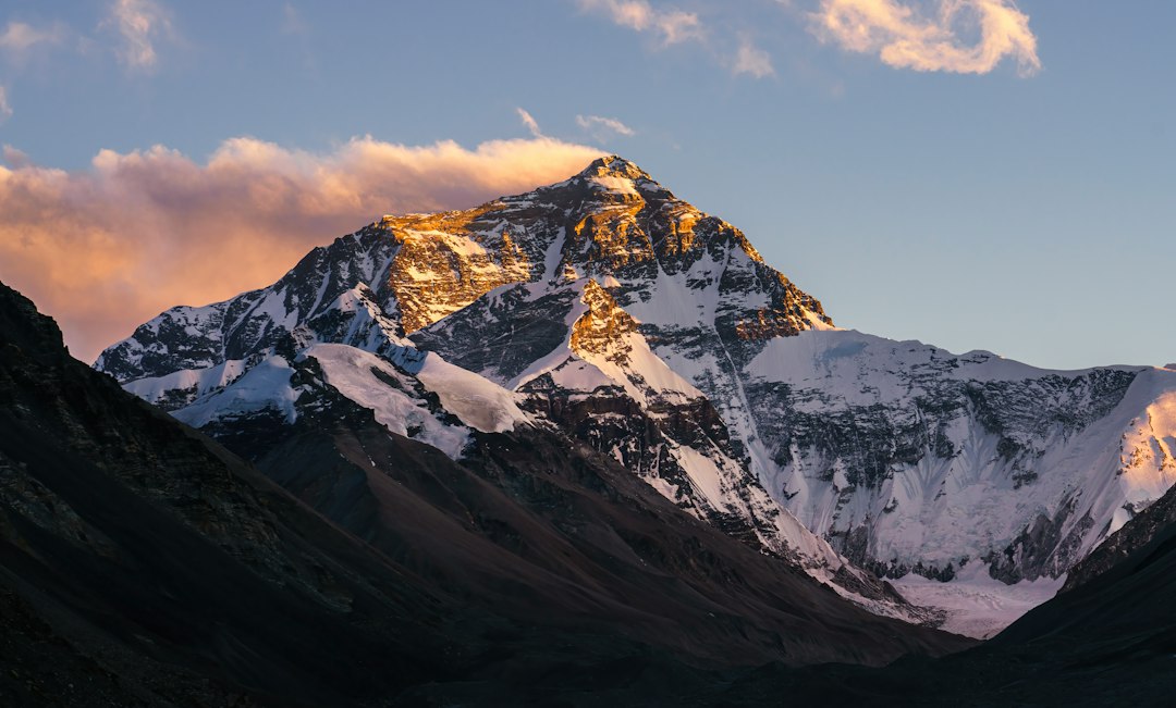
Photo by Weichao Deng / Unsplash. Used under the Unsplash License. Source.
Seeing the Himalayas from Afar
Political restrictions and terrain kept survey parties south of Nepal. Stations on the plains observed Himalayan peaks at distances where haze, refraction, and identification became serious concerns.
Long sight lines magnify the importance of target identity and atmospheric modeling. A precise angle to the wrong peak is a precise blunder.
The practical importance of seeing the himalayas from afar lies in the chain of evidence. Baseline measurement, triangulation, vertical angles, astronomical observations, gravity work, and height reduction did not become dependable merely because an instrument produced a reading. Observers had to identify the reference, describe conditions, apply corrections, compare independent information, and preserve a record another person could review. That sequence is recognizable in modern geomatics, even when software performs much of the reduction.
Horizontal Position Before Height
The peak first had to be located within the triangulation. Horizontal angles from controlled stations established intersection geometry and confirmed that observations referred to the same summit.
Elevation is not independent of plan position. Distance to the target enters the vertical reduction, so weak horizontal geometry weakens the height.
Field conditions shaped the result as strongly as theory. In the heat of the plains, monsoon weather, high-altitude stations, long sight lines, and politically restricted border regions, temperature, visibility, access, transportation, fatigue, and communication all imposed limits. The crews succeeded by designing procedures around those limits. Their work is a reminder that accuracy specifications must be matched by occupations, checks, and logistics capable of achieving them outside a laboratory.
Vertical Angles and Curvature
Observers measured elevations above the horizon from multiple stations. Computation converted those angles and horizontal distances into height differences while accounting for Earth curvature.
A mountain height is a reduced quantity, not a direct reading. Instrument height, station elevation, curvature, and adopted refraction all enter the result.
Institutions mattered because a measurement network outlives any one observer. the Survey of India and the Great Trigonometrical Survey supplied standards, training, computation, archives, and authority. It could also impose political priorities. Reading the technical record therefore requires attention to who commissioned the work, who performed it, whose knowledge was used, and how the finished coordinates or maps affected people on the ground.
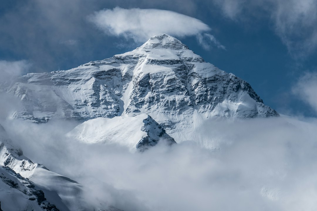
Photo by Luo Lei / Unsplash. Used under the Unsplash License. Source.
Atmospheric Refraction
Near-horizontal rays passing through layers of air can bend substantially. Temperature structure changes by time and season, so refraction was among the most difficult corrections.
Repeated observations from different stations and conditions helped reveal inconsistency. Redundancy bounded an effect that could not be perfectly measured along the entire ray path.
Every stage carried a different error budget. baseline scale, thermal expansion, centering, atmospheric refraction, vertical deflection, curvature, instrument adjustment, and uncertain snow depth could enter separately or interact. Good practice did not assume those effects vanished; it measured, modeled, repeated, or bounded them. The historical language differs from modern uncertainty analysis, but the underlying discipline is familiar: identify what can move the answer and create an observation plan able to reveal it.
Radhanath Sikdar and the Computing Office
Indian computers carried much of the numerical labor that transformed field books into adjusted positions and heights. Sikdar is associated with recognizing Peak XV as the highest measured summit.
Survey history includes people at instruments and people at tables. Computation is not secondary clerical work; it is part of the measurement system.
The modern connection is not decorative. GNSS, gravity models, radar, leveling, and contemporary height datums still relies on the same underlying logic: establish a reference, observe relationships, reduce the data, test closure or consistency, and communicate limitations. New sensors increase speed and density, but they do not remove the need to understand where a coordinate came from or whether it answers the question being asked.
Naming and the Published Height
Andrew Waugh announced a height of 29,002 feet and proposed the name Mount Everest, arguing that a local name could not be reliably identified. The naming decision remains tied to colonial authority and regional naming traditions.
A coordinate or height can be scientifically valuable while the label and institution that publish it carry political history. Technical and cultural questions should not be collapsed into one.
Primary records often look more certain than the work felt in the field. A finished map, published height, or polished report compresses failed observations, weather delays, instrument trouble, judgment calls, and recalculation into a clean result. Reading field notes, instrument descriptions, correspondence, and later adjustments restores that missing texture and helps distinguish the original observation from later interpretation.
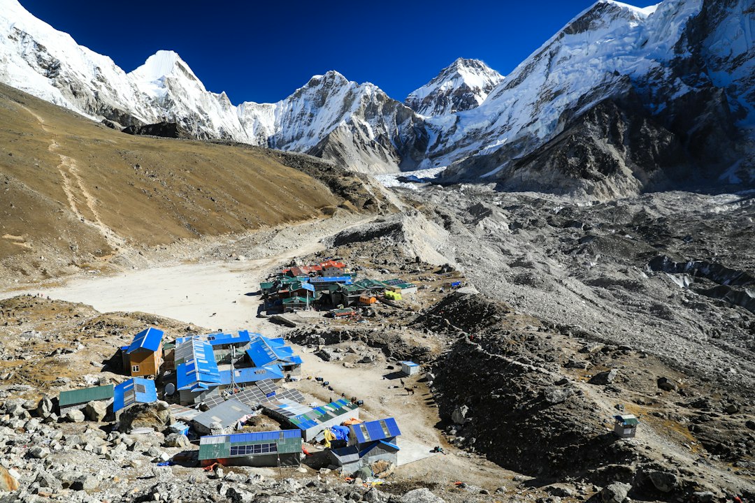
Photo by Dylan Shaw / Unsplash. Used under the Unsplash License. Source.
What the Modern Surveyor Can Carry Forward
The first accepted Everest height was impressive because independent observations converged after difficult corrections. Its credibility rested on the network and procedure, not on the drama of one number.
Later surveys changed the adopted height as datums, instruments, gravity information, and access improved. Part 3 explains why modern results can differ without implying that earlier surveyors failed.
A useful way to study the measurement of Mount Everest is to reconstruct one observation from beginning to end. Start with the instrument and the raw quantity it measured. Identify the reference surface or origin. List every correction in the order it entered. Then ask which quantities were observed directly and which came from tables, assumptions, or prior surveys. This exercise turns a historical narrative into a working measurement model.
The vocabulary deserves care. Historical writers may use “accuracy,” “error,” “station,” “datum,” or “survey” differently from a modern specification. Units can change between documents, and coordinates may be quoted without repeating their meridian or reference frame. Apparent disagreements sometimes disappear once scale, epoch, instrument constants, or adopted values are placed on the same basis.
Images also require interpretation. A photograph of a large instrument may show a ceremonial demonstration rather than ordinary field use. A map may be a later copy, a compilation, or a reduced publication rather than the original field sheet. Captions should identify the repository, creator, date, and rights statement whenever they are known, and readers should follow the source link before treating an illustration as technical proof.
The strongest histories of the measurement of Mount Everest combine institutional reports with personal records and later technical analysis. Official reports explain the intended method; field books and correspondence reveal implementation; later geodetic or historical studies identify systematic effects the original crews could not fully quantify. Agreement among those layers is more persuasive than repetition of a familiar anecdote.
Nothing in this history suggests that older crews were careless because their numerical precision was lower. They often extracted extraordinary value from limited instruments by repeating work, calibrating equipment, choosing geometry deliberately, and documenting exceptions. The fair comparison is between methods and their available standards, not between an old field book and the display resolution of a modern receiver.
Finally, the measurement of Mount Everest is best understood as infrastructure. A single observation may be memorable, but durable value comes from a maintained system of reference marks, tables, charts, records, training, and revision. Surveying becomes civilization-scale technology when later users can recover the reference, evaluate the lineage, and extend the work without beginning again.
A useful way to study the measurement of Mount Everest is to reconstruct one observation from beginning to end. Start with the instrument and the raw quantity it measured. Identify the reference surface or origin. List every correction in the order it entered. Then ask which quantities were observed directly and which came from tables, assumptions, or prior surveys. This exercise turns a historical narrative into a working measurement model.
The vocabulary deserves care. Historical writers may use “accuracy,” “error,” “station,” “datum,” or “survey” differently from a modern specification. Units can change between documents, and coordinates may be quoted without repeating their meridian or reference frame. Apparent disagreements sometimes disappear once scale, epoch, instrument constants, or adopted values are placed on the same basis.
Images also require interpretation. A photograph of a large instrument may show a ceremonial demonstration rather than ordinary field use. A map may be a later copy, a compilation, or a reduced publication rather than the original field sheet. Captions should identify the repository, creator, date, and rights statement whenever they are known, and readers should follow the source link before treating an illustration as technical proof.
The strongest histories of the measurement of Mount Everest combine institutional reports with personal records and later technical analysis. Official reports explain the intended method; field books and correspondence reveal implementation; later geodetic or historical studies identify systematic effects the original crews could not fully quantify. Agreement among those layers is more persuasive than repetition of a familiar anecdote.
Nothing in this history suggests that older crews were careless because their numerical precision was lower. They often extracted extraordinary value from limited instruments by repeating work, calibrating equipment, choosing geometry deliberately, and documenting exceptions. The fair comparison is between methods and their available standards, not between an old field book and the display resolution of a modern receiver.
Finally, the measurement of Mount Everest is best understood as infrastructure. A single observation may be memorable, but durable value comes from a maintained system of reference marks, tables, charts, records, training, and revision. Surveying becomes civilization-scale technology when later users can recover the reference, evaluate the lineage, and extend the work without beginning again.
A useful way to study the measurement of Mount Everest is to reconstruct one observation from beginning to end. Start with the instrument and the raw quantity it measured. Identify the reference surface or origin. List every correction in the order it entered. Then ask which quantities were observed directly and which came from tables, assumptions, or prior surveys. This exercise turns a historical narrative into a working measurement model.
The vocabulary deserves care. Historical writers may use “accuracy,” “error,” “station,” “datum,” or “survey” differently from a modern specification. Units can change between documents, and coordinates may be quoted without repeating their meridian or reference frame. Apparent disagreements sometimes disappear once scale, epoch, instrument constants, or adopted values are placed on the same basis.
Images also require interpretation. A photograph of a large instrument may show a ceremonial demonstration rather than ordinary field use. A map may be a later copy, a compilation, or a reduced publication rather than the original field sheet. Captions should identify the repository, creator, date, and rights statement whenever they are known, and readers should follow the source link before treating an illustration as technical proof.
The strongest histories of the measurement of Mount Everest combine institutional reports with personal records and later technical analysis. Official reports explain the intended method; field books and correspondence reveal implementation; later geodetic or historical studies identify systematic effects the original crews could not fully quantify. Agreement among those layers is more persuasive than repetition of a familiar anecdote.
Nothing in this history suggests that older crews were careless because their numerical precision was lower. They often extracted extraordinary value from limited instruments by repeating work, calibrating equipment, choosing geometry deliberately, and documenting exceptions. The fair comparison is between methods and their available standards, not between an old field book and the display resolution of a modern receiver.
Finally, the measurement of Mount Everest is best understood as infrastructure. A single observation may be memorable, but durable value comes from a maintained system of reference marks, tables, charts, records, training, and revision. Surveying becomes civilization-scale technology when later users can recover the reference, evaluate the lineage, and extend the work without beginning again.
A useful way to study the measurement of Mount Everest is to reconstruct one observation from beginning to end. Start with the instrument and the raw quantity it measured. Identify the reference surface or origin. List every correction in the order it entered. Then ask which quantities were observed directly and which came from tables, assumptions, or prior surveys. This exercise turns a historical narrative into a working measurement model.