
Series: Surveying the Panama Canal
Once the canal design was adopted, surveyors translated regional control into lines and elevations that thousands of workers and machines could use. Construction changed the ground continuously, so the survey network had to be recoverable, extensible, and responsive.
The locks, Gatun Dam, spillways, channels, rail systems, buildings, and Culebra Cut were related parts of one enormous project. Alignment and elevation errors at interfaces could become concrete, steel, or excavation problems.
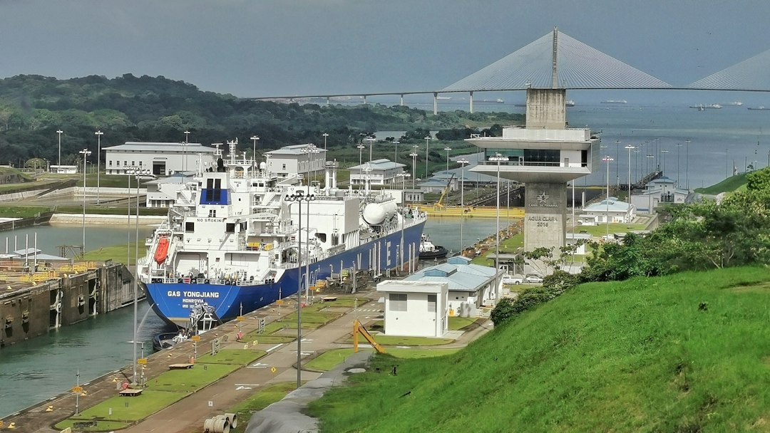
Photo by Snowscat / Unsplash. Used under the Unsplash License. Source.
Project Control and Benchmarks
Construction needed stable reference points outside active disturbance and convenient working control near each operation. Levels transferred elevation while traverses and triangulation carried plan position.
Control density is an operational decision. A mathematically strong network is useful only if crews can recover it without disrupting production.
Project Control and Benchmarks belonged to a measurement chain. Reconnaissance, triangulation, traverses, precise leveling, construction staking, hydrography, quantity surveys, and deformation monitoring became reliable only when crews connected observations to control, applied corrections, checked independent evidence, and preserved records. A finished plan hides much of that labor, so the surveyor should read backward from product to field procedure.
The Culebra Cut
Excavation through the continental divide required slope staking, grade control, cross sections, quantities, track relocation, and repeated measurement as slides changed the planned surface.
Earthwork survey is iterative. The designed section, the exposed geology, and the measured pay quantity may all differ.
The environment was part of the instrument. In tropical rain, dense vegetation, steep cuts, rivers, unstable excavation, disease, and an active international shipping corridor, weather, terrain, access, visibility, transport, and fatigue limited what could be built and observed. Good procedures were designed for those limits rather than copied from ideal conditions.
Railroads as Construction Machinery
Temporary rail lines moved spoil and equipment. Tracks were shifted as the cut widened and advanced, making railroad location part of the excavation workflow.
Temporary works can demand permanent-level discipline because production depends on their geometry and capacity.
French companies, the Isthmian Canal Commission, the Panama Canal organization, contractors, engineers, and government survey parties supplied standards, authority, computation, and archives. It also decided which routes or properties mattered. Infrastructure maps are therefore technical records and expressions of public or corporate power at the same time.
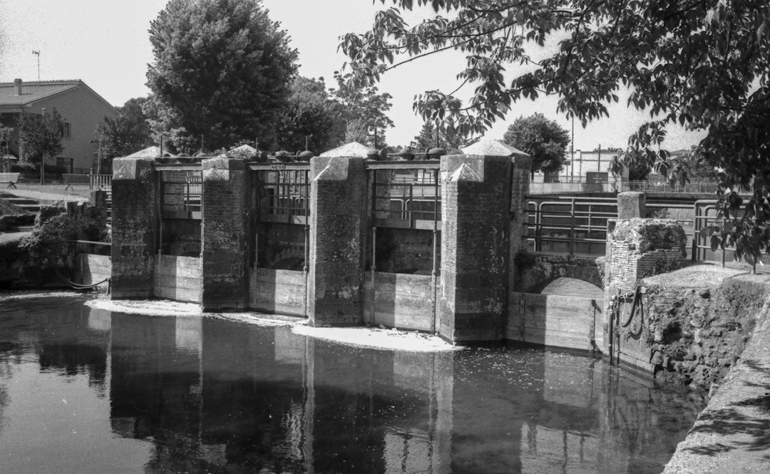
Photo by Claudio Grande / Unsplash. Used under the Unsplash License. Source.
Locks and Concrete Geometry
Lock chambers, culverts, gates, machinery, and approaches required dimensional control and alignment. Large concrete placements had to meet embedded components and later assemblies.
Precision should be allocated to interfaces. Not every point requires the same tolerance, but mating systems require compatible control and verification.
The error budget included route reconnaissance, baseline and traverse scale, leveling, settlement, excavation quantities, curve and grade staking, water level, and local coordinate transformations. Some effects accumulated gradually; others produced immediate blunders. Repetition, closure, calibration, balanced geometry, and independent surveys were different tools for different risks.
Gatun Dam and Water Control
The dam created the lake that supplied the lock canal. Surveys supported embankment construction, spillway works, water levels, settlement observation, and quantities.
A dam is both geometric structure and changing earth mass. Monitoring and as-built records continue after staking.
GNSS control, robotic total stations, scanning, deformation monitoring, hydrography, machine guidance, and asset GIS inherits the same logic. Digital sensors accelerate collection, yet design coordinates, datums, transformations, quality control, and as-built evidence still determine whether information can be trusted across disciplines.
Records, Progress, and Payment
Cross sections, stationing, maps, and quantity computations documented progress and supported management and payment. Photographs added visual evidence but did not replace measured quantities.
Construction records are legal and financial instruments. Clear lineage protects both engineering decisions and contractual fairness.
Primary records should be read in layers. Reconnaissance maps show alternatives, location surveys define a choice, construction records control work, and valuation or right-of-way maps serve legal and administrative purposes. They may depict the same corridor while answering different questions.
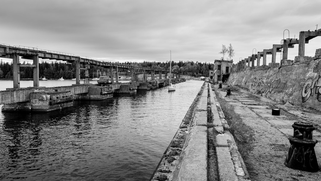
Photo by Raul Ling / Unsplash. Used under the Unsplash License. Source.
What the Modern Surveyor Can Carry Forward
Canal construction demonstrates why survey control is infrastructure within infrastructure. It lets many crews work independently while meeting the same design.
Part 3 examines the operating canal, modern expansion, hydrographic surveys, deformation monitoring, and the challenge of adding new works beside a functioning waterway.
One useful exercise is to select a short segment of surveying and construction of the Panama Canal and reconstruct its survey sequence: reconnaissance, preliminary control, design survey, staking, as-built measurement, and later maintenance. The same ground can produce several legitimate surveys because each phase has a different decision to support.
Historical units and stationing demand care. A station number is a project coordinate, not necessarily a monument; a milepost may reflect an operational convention; an elevation may belong to a superseded datum. Curves, spirals, grades, and offsets may be recorded in notation unfamiliar to a modern field crew.
Photographs are especially persuasive and especially easy to misuse. Construction scenes may not show the survey operation described in the text. This series uses openly licensed contemporary photographs as visual context and links documentary claims to institutional sources.
Infrastructure history is strongest when engineering reports are compared with maps, contracts, photographs, labor records, and later maintenance files. Each source reveals a different layer of the project and a different definition of completion.
Surveyors often inherit infrastructure whose original control is damaged, buried, renumbered, or expressed in a local coordinate system. Recovery begins with records and physical evidence, followed by a transformation plan that preserves the distinction between original design geometry and present observations.
surveying and construction of the Panama Canal became durable because measurements were turned into an operational record. Alignment sheets, profiles, monument descriptions, right-of-way plans, benchmarks, and as-builts let later crews repair and expand systems without treating every project as new ground.
One useful exercise is to select a short segment of surveying and construction of the Panama Canal and reconstruct its survey sequence: reconnaissance, preliminary control, design survey, staking, as-built measurement, and later maintenance. The same ground can produce several legitimate surveys because each phase has a different decision to support.
Historical units and stationing demand care. A station number is a project coordinate, not necessarily a monument; a milepost may reflect an operational convention; an elevation may belong to a superseded datum. Curves, spirals, grades, and offsets may be recorded in notation unfamiliar to a modern field crew.
Photographs are especially persuasive and especially easy to misuse. Construction scenes may not show the survey operation described in the text. This series uses openly licensed contemporary photographs as visual context and links documentary claims to institutional sources.
Infrastructure history is strongest when engineering reports are compared with maps, contracts, photographs, labor records, and later maintenance files. Each source reveals a different layer of the project and a different definition of completion.
Surveyors often inherit infrastructure whose original control is damaged, buried, renumbered, or expressed in a local coordinate system. Recovery begins with records and physical evidence, followed by a transformation plan that preserves the distinction between original design geometry and present observations.
surveying and construction of the Panama Canal became durable because measurements were turned into an operational record. Alignment sheets, profiles, monument descriptions, right-of-way plans, benchmarks, and as-builts let later crews repair and expand systems without treating every project as new ground.
One useful exercise is to select a short segment of surveying and construction of the Panama Canal and reconstruct its survey sequence: reconnaissance, preliminary control, design survey, staking, as-built measurement, and later maintenance. The same ground can produce several legitimate surveys because each phase has a different decision to support.
Historical units and stationing demand care. A station number is a project coordinate, not necessarily a monument; a milepost may reflect an operational convention; an elevation may belong to a superseded datum. Curves, spirals, grades, and offsets may be recorded in notation unfamiliar to a modern field crew.
Photographs are especially persuasive and especially easy to misuse. Construction scenes may not show the survey operation described in the text. This series uses openly licensed contemporary photographs as visual context and links documentary claims to institutional sources.
Infrastructure history is strongest when engineering reports are compared with maps, contracts, photographs, labor records, and later maintenance files. Each source reveals a different layer of the project and a different definition of completion.
Surveyors often inherit infrastructure whose original control is damaged, buried, renumbered, or expressed in a local coordinate system. Recovery begins with records and physical evidence, followed by a transformation plan that preserves the distinction between original design geometry and present observations.
surveying and construction of the Panama Canal became durable because measurements were turned into an operational record. Alignment sheets, profiles, monument descriptions, right-of-way plans, benchmarks, and as-builts let later crews repair and expand systems without treating every project as new ground.
One useful exercise is to select a short segment of surveying and construction of the Panama Canal and reconstruct its survey sequence: reconnaissance, preliminary control, design survey, staking, as-built measurement, and later maintenance. The same ground can produce several legitimate surveys because each phase has a different decision to support.
Historical units and stationing demand care. A station number is a project coordinate, not necessarily a monument; a milepost may reflect an operational convention; an elevation may belong to a superseded datum. Curves, spirals, grades, and offsets may be recorded in notation unfamiliar to a modern field crew.
Photographs are especially persuasive and especially easy to misuse. Construction scenes may not show the survey operation described in the text. This series uses openly licensed contemporary photographs as visual context and links documentary claims to institutional sources.
Infrastructure history is strongest when engineering reports are compared with maps, contracts, photographs, labor records, and later maintenance files. Each source reveals a different layer of the project and a different definition of completion.
Surveyors often inherit infrastructure whose original control is damaged, buried, renumbered, or expressed in a local coordinate system. Recovery begins with records and physical evidence, followed by a transformation plan that preserves the distinction between original design geometry and present observations.
surveying and construction of the Panama Canal became durable because measurements were turned into an operational record. Alignment sheets, profiles, monument descriptions, right-of-way plans, benchmarks, and as-builts let later crews repair and expand systems without treating every project as new ground.
One useful exercise is to select a short segment of surveying and construction of the Panama Canal and reconstruct its survey sequence: reconnaissance, preliminary control, design survey, staking, as-built measurement, and later maintenance. The same ground can produce several legitimate surveys because each phase has a different decision to support.
Historical units and stationing demand care. A station number is a project coordinate, not necessarily a monument; a milepost may reflect an operational convention; an elevation may belong to a superseded datum. Curves, spirals, grades, and offsets may be recorded in notation unfamiliar to a modern field crew.
Photographs are especially persuasive and especially easy to misuse. Construction scenes may not show the survey operation described in the text. This series uses openly licensed contemporary photographs as visual context and links documentary claims to institutional sources.
Infrastructure history is strongest when engineering reports are compared with maps, contracts, photographs, labor records, and later maintenance files. Each source reveals a different layer of the project and a different definition of completion.
Surveyors often inherit infrastructure whose original control is damaged, buried, renumbered, or expressed in a local coordinate system. Recovery begins with records and physical evidence, followed by a transformation plan that preserves the distinction between original design geometry and present observations.
surveying and construction of the Panama Canal became durable because measurements were turned into an operational record. Alignment sheets, profiles, monument descriptions, right-of-way plans, benchmarks, and as-builts let later crews repair and expand systems without treating every project as new ground.
One useful exercise is to select a short segment of surveying and construction of the Panama Canal and reconstruct its survey sequence: reconnaissance, preliminary control, design survey, staking, as-built measurement, and later maintenance. The same ground can produce several legitimate surveys because each phase has a different decision to support.
Historical units and stationing demand care. A station number is a project coordinate, not necessarily a monument; a milepost may reflect an operational convention; an elevation may belong to a superseded datum. Curves, spirals, grades, and offsets may be recorded in notation unfamiliar to a modern field crew.
Sources and Further Reading
Library of Congress: Panama Canal construction photographs