
Maps & Mapping
Mapping on the Move: SLAM, Mobile Scanners, and the Search for Position
A scanner can now travel through a site while helping work out where it has been. Mobile mapping turns the route itself into part of the measurement.
On This Page
Picture a scanner moving through a building rather than waiting on a tripod. The operator walks a corridor, turns through a doorway, and continues into another room. The data grow along the route. The instrument has gained freedom of movement—and a new question to answer at every moment: where, exactly, is it now?
A stationary scanner can observe from an established setup. A moving scanner needs a changing position and orientation to place its observations correctly. Mobile mapping makes that moving relationship a central part of the work.
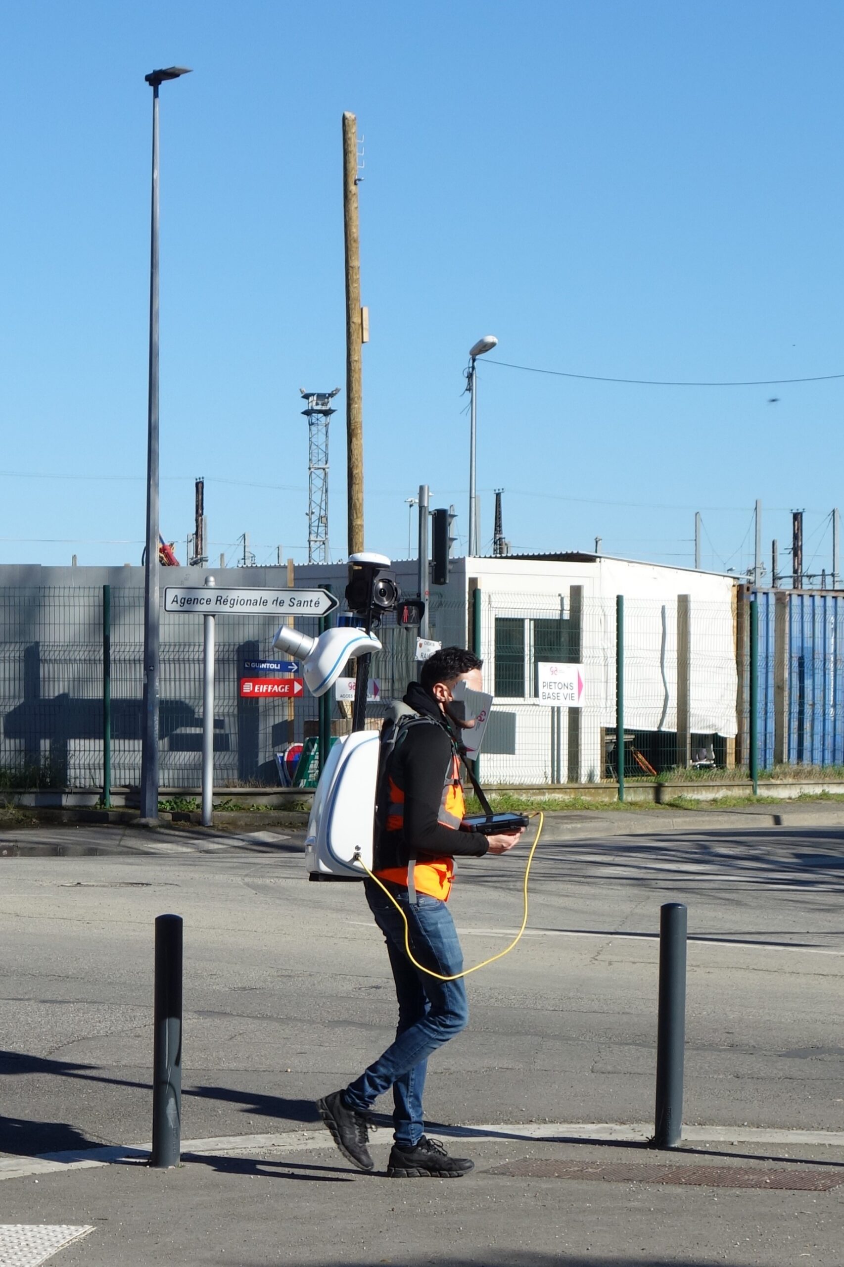
Photo: Abdoucondorcet, Wikimedia Commons. CC0 public-domain dedication; WordPress resized the original.
.jpg)
The map helps locate the mapper
SLAM stands for Simultaneous Localization and Mapping. The name describes a coupled problem: estimate the surrounding map while estimating the platform’s location within it. Observations of recognizable surroundings help relate one part of the route to the next.
There is an appealing circularity here. The system uses its growing map to understand its movement, and its estimated movement to grow the map. The achievement is making those two uncertain descriptions support each other rather than wander apart.
SLAM came into surveying from a broader world of mobile robotics. It is an approach to estimation, not the name of one scanner. Systems differ in their sensors, algorithms, processing, and intended environments. The acronym on a product page does not tell the whole story.
Several senses, working together
A mobile scanning package may combine laser-ranging observations, cameras, and an inertial measurement unit. The IMU measures acceleration and rotation, providing information about movement and orientation. The surrounding geometry supplies another source of evidence.
Those inputs have different strengths. A laser scanner can record spatial structure; cameras can supply appearance and visual features; inertial data describe motion between observations. Software brings the information together to estimate a trajectory—the path and orientation of the sensor over time.
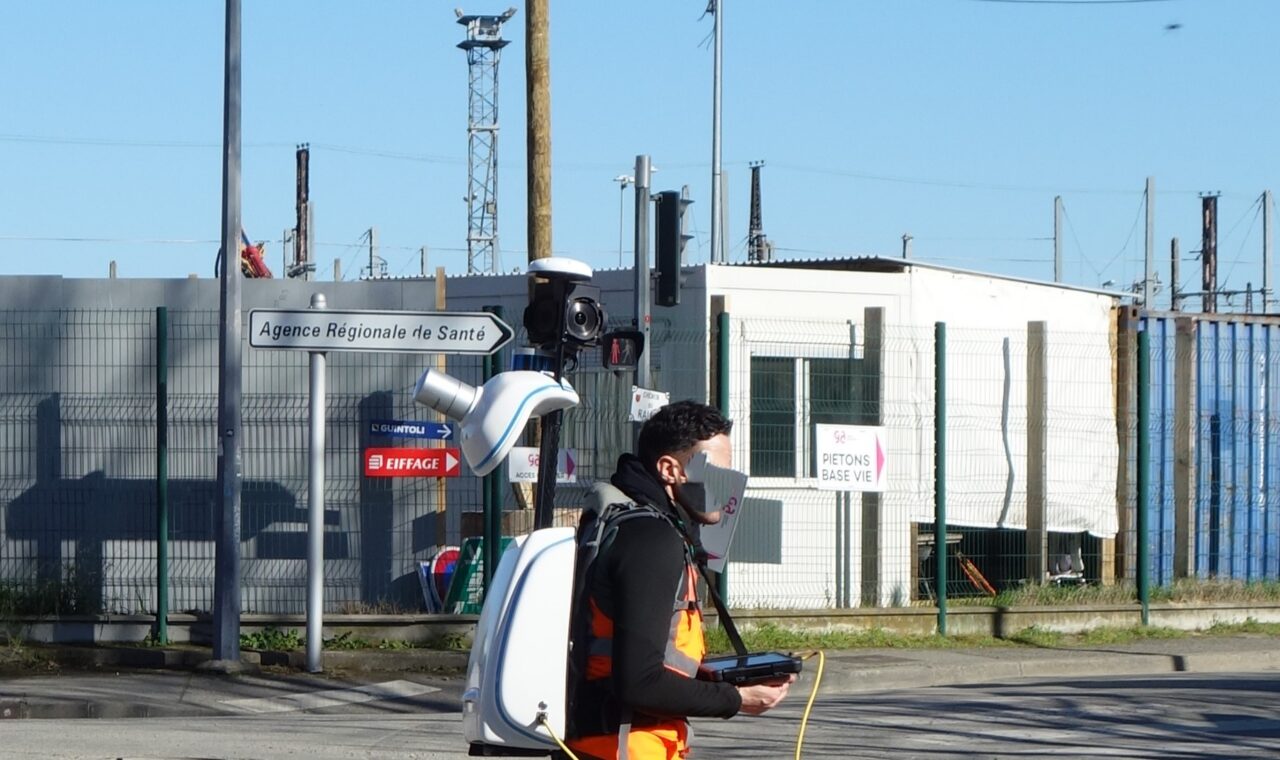
This is why the wearable package in a photograph deserves more attention than its unusual shape. The important relationship is among the sensors and their observations. A clever-looking housing is only the part we can see from the sidewalk.
A small error can have a long walk
Each step in the estimated trajectory carries uncertainty. Linking many steps can allow error to accumulate, a problem usually called drift. A long corridor might gradually bend in a reconstructed model even though the real corridor does not.
Returning to a recognizable place can help. In loop closure, the system connects the revisited area with earlier observations and uses that additional relationship to refine the trajectory and map. The route has supplied evidence that was unavailable during the first pass.
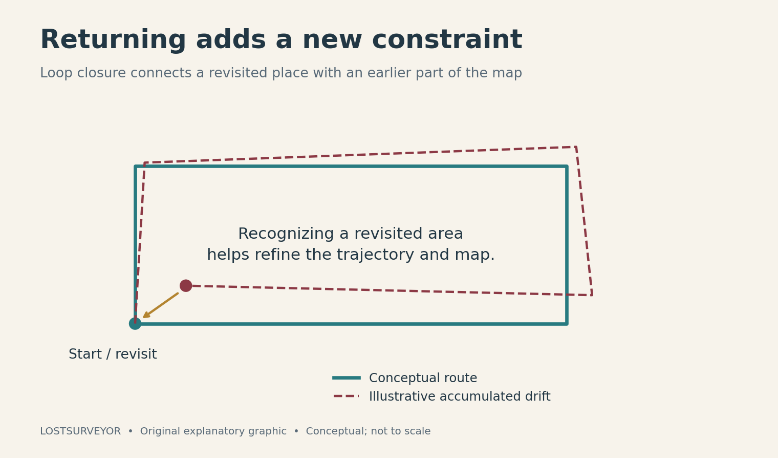
Original explanatory graphic for LostSurveyor. Conceptual; not to scale.
I find this a particularly satisfying piece of the technology. The useful act is something very human: come back, recognize where you have been, and reconsider how you got there. The mathematics is sophisticated, but the practical value of revisiting a place is easy to appreciate.
Some places are hard to recognize
Not every corridor makes a good witness. Long stretches with little distinctive geometry can weaken the available constraints. A system may struggle where observations do not provide enough information to distinguish one movement or location from another.
Gradual drift is also different from a more serious break in the map’s continuity. Incorrect matching can produce a jumping trajectory or duplicated structures. Manufacturer guidance on these failures is a useful reminder that adding surveyed control is not a universal repair for missing or wrongly connected evidence.
A route that creates useful connections is therefore part of the observation strategy. Walking a site is not just transportation between measurements. The way the scanner moves through the scene can influence how well the scene holds together afterward.
Give the moving map an outside reference
Surveyed control points can constrain the mobile reconstruction and connect it to a selected reference system. They provide relationships beyond those inferred solely from the scanner’s own journey. The details of how control is captured and used depend on the system.
A recognizable loop and an external survey reference serve different purposes. Recognizing a familiar room strengthens an internal connection; a measured coordinate ties that room to the project. Both may matter when the deliverable needs to fit with plans, other surveys, or observations made on another day.
Vehicle-based mobile mapping often uses GNSS and inertial positioning to georeference cameras and laser scanners along a road. That is not simply a handheld SLAM device mounted on a car. There are several ways to solve the moving-position problem, and some systems combine approaches.
The route becomes part of the craft
Mobile mapping’s attraction is the ability to collect a connected spatial record while moving through a place. The result can make a complex setting easier to revisit on screen. Its usefulness still depends on the environment, the observations, the positioning solution, and the intended task.
The new freedom changes where the craft resides. Instead of planning only where to stop a tripod, the surveyor also thinks about how to move, what to revisit, and which outside references will help the map stand on its own. The walk may look casual. The best route has a purpose.
Sources and further reading
- Durrant-Whyte and Bailey: SLAM, Part I — A foundational 2006 explanation of estimating a map and platform position together.
- NavVis: SLAM technology — A manufacturer perspective on sensors, mapping, and challenging environments.
- NavVis: Why use control points? — Trajectory drift, loop closures, and measured constraints.
- NavVis: Drifting or broken SLAM — Why surveyed control cannot rescue every failed reconstruction.
- Trimble Applanix: GNSS-inertial positioning — A different foundation used in many mobile mapping systems.