
Instruments & Methods
Why Elevation Follows Gravity: The Geoid Beneath Every Height
GNSS measures height above a mathematical ellipsoid, but practical elevation depends on gravity, the geoid, and a physical definition of level.
On This Page
- 01 — Introduction
- 02 — “How High?” Has More Than One Answer
- 03 — The Ellipsoid: A Smooth Mathematical Earth
- 04 — The Geoid: A Surface Shaped by Gravity
- 05 — Orthometric Height and the Direction of Down
- 06 — Why Water Can Defy a Simple Geometric Slope
- 07 — How Traditional Vertical Datums Were Built
- 08 — Measuring Gravity From Aircraft and Satellites
- 09 — From NAVD 88 to a Gravity-Based Datum
- 10 — Elevation Is Also Changing With Time
- 11 — What the Distinction Means on a Project
- 12 — The Invisible Surface Beneath the Survey
- 13 — Sources and Further Reading
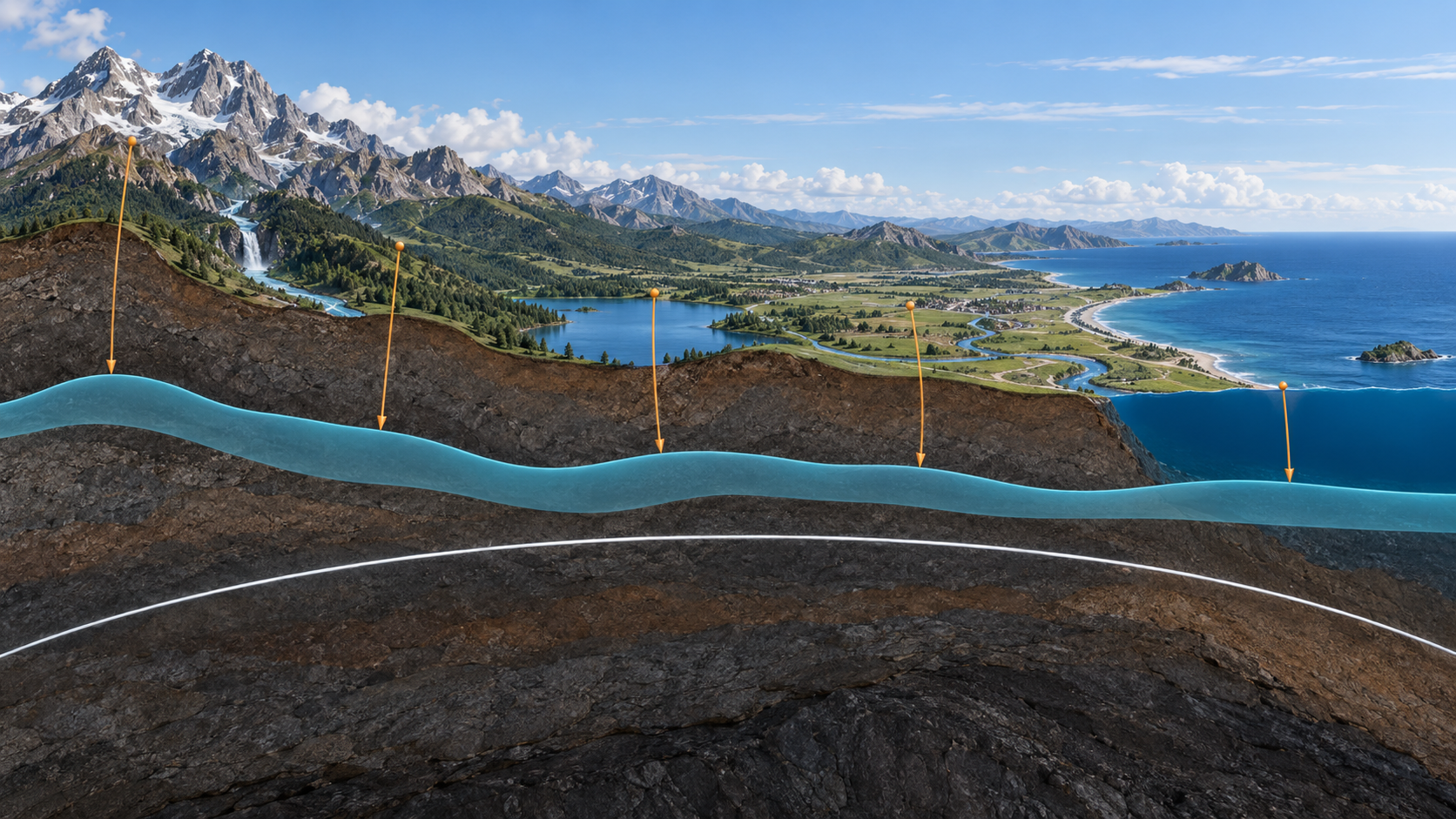
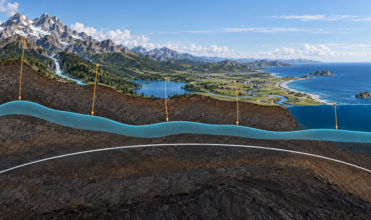
Original conceptual illustration created for The Lost Surveyor; reference surfaces are exaggerated for clarity and are not measured profiles.
“How High?” Has More Than One Answer
A GNSS receiver can determine a precise three-dimensional position relative to a mathematical ellipsoid. A level can transfer an elevation difference along the local horizontal. A tide gauge records the changing ocean surface. Each instrument speaks about height, but the resulting numbers do not describe exactly the same thing.
For most practical work, elevation is expected to say something physical: which direction water will flow, how much head exists in a pipeline, whether a road clears a flood surface, or how one floor relates to another. Those questions depend on gravity.
The distinction between geometric height and gravity-related height explains why a GNSS ellipsoid height is not automatically an elevation. Turning one into the other requires a model of Earth’s gravity field and a defined vertical datum.
The Ellipsoid: A Smooth Mathematical Earth
Earth is approximately an oblate spheroid, wider at the equator than from pole to pole. Geodesy represents that broad shape with a reference ellipsoid: a smooth, mathematically defined surface that can support latitude, longitude, and ellipsoid height.
GNSS positioning is naturally geometric. Satellite orbits and receiver observations are processed in an Earth-centred coordinate system, and the point’s ellipsoid height is its distance above or below the selected ellipsoid measured along the ellipsoidal normal.
The ellipsoid is deliberately simple. It does not contain mountain ranges, ocean trenches, or irregular concentrations of mass. It also does not represent a surface along which water would remain at rest. That is why an accurate ellipsoid height can be unsuitable for drainage or flood work unless it is converted.
The Geoid: A Surface Shaped by Gravity
The geoid is an equipotential surface of Earth’s gravity field chosen to correspond closely with global mean sea level. “Equipotential” means that gravitational potential is the same everywhere on the surface. In an idealized sense, water at rest could lie along it without flowing from one point to another.
Unlike the ellipsoid, the geoid is irregular. Mountains, ocean basins, the density of rocks, mantle structure, and other mass variations alter the gravity field. The resulting surface rises and falls relative to the smooth ellipsoid, though the variations are gentle on the scale of the planet.
The geoid is not the visible ocean surface extended under the continents. Real sea level is affected by tides, currents, temperature, salinity, winds, atmospheric pressure, and coastal conditions. The geoid is a modelled gravity surface that matches the ocean globally on average.
Orthometric Height and the Direction of Down
Orthometric height is the familiar gravity-related height commonly associated with elevation. It is measured from the geoid to the point along the curved plumb line, the direction defined by gravity. This makes it physically meaningful for many engineering and hydrologic purposes.
Two points can have similar ellipsoid heights and different orthometric heights if the geoid lies at different positions beneath them. Conversely, two points at the same orthometric height may have different ellipsoid heights. The difference is not an error; the reference surfaces answer different questions.
A common relationship is written approximately as H = h − N, where H is orthometric height, h is ellipsoid height, and N is geoid height relative to the ellipsoid. In practice, the reference frames, sign conventions, model, and datum realizations must all be compatible before the subtraction is meaningful.
Why Water Can Defy a Simple Geometric Slope
Water flows from higher gravitational potential toward lower gravitational potential. A purely geometric line measured from Earth’s centre does not capture the whole condition because gravity varies from place to place.
This does not mean rivers routinely run uphill in the ordinary sense. It means “level” is a physical concept established by gravity. A spirit level responds to the local gravity field, and a leveled height difference follows a sequence of local horizontal planes. The path curves around Earth and passes through a gravity field that is not uniform.
High-accuracy leveling applies corrections for effects that become significant over distance and elevation. The result is not merely a sum of vertical ruler readings. It is a height difference tied to the physical field that determines the local vertical.
How Traditional Vertical Datums Were Built
National vertical datums were historically established through tide gauges, precise leveling, and networks of bench marks. In the United States, the North American Vertical Datum of 1988 was based on a continent-scale adjustment of leveling observations constrained to a tide gauge at Father Point/Rimouski, Quebec.
The network provided a common system for decades, but long leveling routes accumulated systematic effects and the bench-mark network aged. Land motion also changed the physical elevations of some marks after they were observed. A published height could remain in a database while the monument subsided, uplifted, or was disturbed.
NOAA’s National Geodetic Survey reports that NAVD 88 is biased by roughly half a metre and tilted by about one metre across the conterminous United States relative to modern global geoid models. These are continental-scale systematic differences, not an assertion that every local level circuit contains a metre of random error.
Measuring Gravity From Aircraft and Satellites
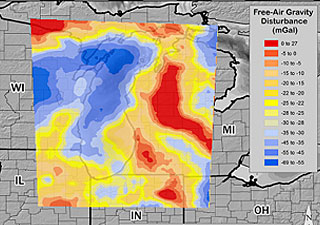
Credit: NOAA National Geodetic Survey; U.S. government work.
A gravimetric geoid requires observations of Earth’s gravity field. Satellite missions describe long-wavelength features across the planet. Surface gravimeters contribute local detail. Marine observations fill ocean areas, and terrain models account for topographic mass.
The Gravity for the Redefinition of the American Vertical Datum project, known as GRAV-D, collected airborne gravity across the United States and its territories. Aircraft can survey broad areas consistently, including mountains, wetlands, coastal zones, and other locations where surface gravity coverage is sparse.
These observations are combined into geoid models. The model does not replace GNSS; it gives GNSS-derived ellipsoid heights a route into a physical height system. Better satellite positioning and a better gravity model improve different halves of the same conversion.
From NAVD 88 to a Gravity-Based Datum
The modernized National Spatial Reference System is designed to replace leveling-defined vertical datums with the North American-Pacific Geopotential Datum of 2022. Its zero-height surface is defined by GEOID2022, built from gravity rather than constrained to a single tide-gauge origin.
Users will obtain orthometric heights primarily by combining GNSS ellipsoid heights with the official geoid model. Bench marks and leveling will remain useful for validation, local transfer, construction, and monitoring, but the national datum will no longer depend on maintaining a continent-wide chain of level lines as its foundation.
As of 2026, the modernized system remains in testing and approval. NAVD 88 continues to be the official vertical datum where it currently applies until the formal transition. Projects must distinguish future design documents and beta products from the datum required for present deliverables.
Elevation Is Also Changing With Time
A modern height system must contend with motion. Subsidence from groundwater or resource extraction, glacial rebound, sediment compaction, tectonics, earthquakes, and sea-level change can alter the relationship between land and the gravity field.
Some changes move the observing point. Others redistribute mass and change the gravity field. Large water-storage changes, melting ice, and geodynamic processes can affect both. Continuous GNSS, repeated gravity observations, satellite missions, and updated models are therefore part of maintaining vertical control.
A height without a date may eventually face the same problem as a horizontal coordinate without an epoch. The monument can be found and the published number can still be out of step with the present physical surface.
What the Distinction Means on a Project
For many local jobs, crews work within an established vertical datum and recover nearby control. The ellipsoid-versus-geoid distinction becomes critical when GNSS is introduced, when datasets from different datums are combined, or when flood and coastal elevations must be compared across agencies.
A correct workflow identifies whether each value is an ellipsoid height, orthometric height, dynamic height, tidal datum elevation, or another quantity. It also records the horizontal reference frame, geoid model, vertical datum, units, and epoch where appropriate.
Calling every vertical number an elevation hides these distinctions. Stating the actual height type allows someone else to reproduce the conversion and determine whether the value describes geometry, gravity, or a local water-level reference.
The Invisible Surface Beneath the Survey
The geoid cannot be seen or monumented as a physical shell beneath the landscape. It is realized through gravity observations, models, reference conventions, and the instruments used to access it. Yet it governs the physical meaning expected from elevation.
GNSS made height faster to observe but also exposed the difference between a mathematically convenient Earth and the gravity-shaped Earth experienced by water and plumb lines. Modern vertical geodesy joins both: satellites determine geometry, gravity defines the physical reference, and the geoid connects them.
Sources and Further Reading
NOAA National Geodetic Survey: The Geopotential Surface
NOAA National Geodetic Survey: What Is GRAV-D?
NOAA National Geodetic Survey: GEOID18
NOAA National Geodetic Survey: The Geoid Height Service
NOAA National Geodetic Survey: The Modernized National Spatial Reference System
NOAA National Geodetic Survey: Modernized NSRS Frequently Asked Questions