
Infrastructure & Engineering
Surveying the Iron Road, Part 3: Curves, Grades, Tunnels, and Rights-of-Way
A field guide to the railroad geometry and records that surveyors created—and still recover—along historic corridors.
On This Page
Series: Surveying the Iron Road
Railroad corridors preserve a specialized survey language. Station equations, degree of curve, spirals, profiles, mileposts, valuation maps, and right-of-way plans can look unfamiliar even to an experienced boundary surveyor.
The records were created for design, construction, operation, valuation, and property administration at different times. Recovering a railroad boundary or alignment therefore requires knowing why each document existed.
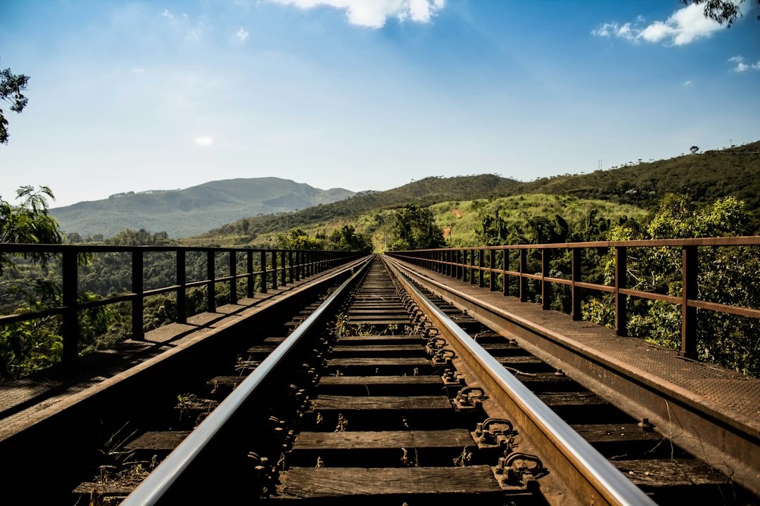
Photo by Tiago Gerken / Unsplash. Used under the Unsplash License. Source.
Stationing and Equations
Stationing measures distance along an alignment, but relocations or revisions can create equations where numerical stationing jumps. A station value is not automatically a unique physical coordinate.
Always identify the alignment version and direction of increasing station before using a record call.
Stationing and Equations belonged to a measurement chain. Reconnaissance, route location, traverse, profile leveling, curve layout, right-of-way survey, construction staking, and as-built mapping became reliable only when crews connected observations to control, applied corrections, checked independent evidence, and preserved records. A finished plan hides much of that labor, so the surveyor should read backward from product to field procedure.
Degree of Curve
American railroads often described circular curves by degree using arc or chord definitions. Radius depends on the convention. Older tables and field methods may assume a particular definition without repeating it.
Geometry cannot be reconstructed safely until the project’s curve convention and units are confirmed.
The environment was part of the instrument. In forests, rivers, plains, deserts, mountain passes, winter weather, remote camps, and corridors being built ahead of reliable transportation, weather, terrain, access, visibility, transport, and fatigue limited what could be built and observed. Good procedures were designed for those limits rather than copied from ideal conditions.
Spirals and Superelevation
Transition curves gradually introduce curvature and work with track superelevation. Their points and parameters appear on alignment sheets and stakeout records.
A line shown schematically may represent a mathematically defined transition rather than a simple tangent-to-curve break.
railroad companies, federal and state governments, military survey expeditions, engineering departments, land offices, and construction contractors supplied standards, authority, computation, and archives. It also decided which routes or properties mattered. Infrastructure maps are therefore technical records and expressions of public or corporate power at the same time.
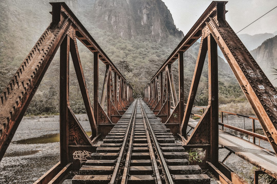
Photo by Christopher Burns / Unsplash. Used under the Unsplash License. Source.
Profiles and Grade Lines
Track elevation follows a designed profile with grades and vertical curves. Benchmarks, rail elevations, subgrade, and structure datums must be distinguished.
The physical rail is maintained and replaced; the controlling design grade may survive only in records.
The error budget included compass and angle error, chain or tape scale, grade transfer, stationing, curve geometry, elevation closure, settlement, and record ambiguity. Some effects accumulated gradually; others produced immediate blunders. Repetition, closure, calibration, balanced geometry, and independent surveys were different tools for different risks.
Tunnel Alignment
Tunnel surveys transfer control through portals, shafts, and underground traverses. Crews advancing from opposite headings need horizontal and vertical closure within construction tolerances.
Gyroscopic direction, plumbing through shafts, repeated angles, and careful distance measurement solve the loss of ordinary sky visibility.
rail corridor mapping, mobile lidar, GNSS control, track geometry systems, right-of-way GIS, and construction machine control inherits the same logic. Digital sensors accelerate collection, yet design coordinates, datums, transformations, quality control, and as-built evidence still determine whether information can be trusted across disciplines.
Right-of-Way and Valuation Maps
Railroad property may involve deeds, statutory grants, centerline-based widths, stationing, parcels, easements, and valuation maps. Operational track position does not alone define title.
Boundary retracement requires the full chain of title and evidence. Railroad engineering geometry is important but not automatically the legal boundary.
Primary records should be read in layers. Reconnaissance maps show alternatives, location surveys define a choice, construction records control work, and valuation or right-of-way maps serve legal and administrative purposes. They may depict the same corridor while answering different questions.
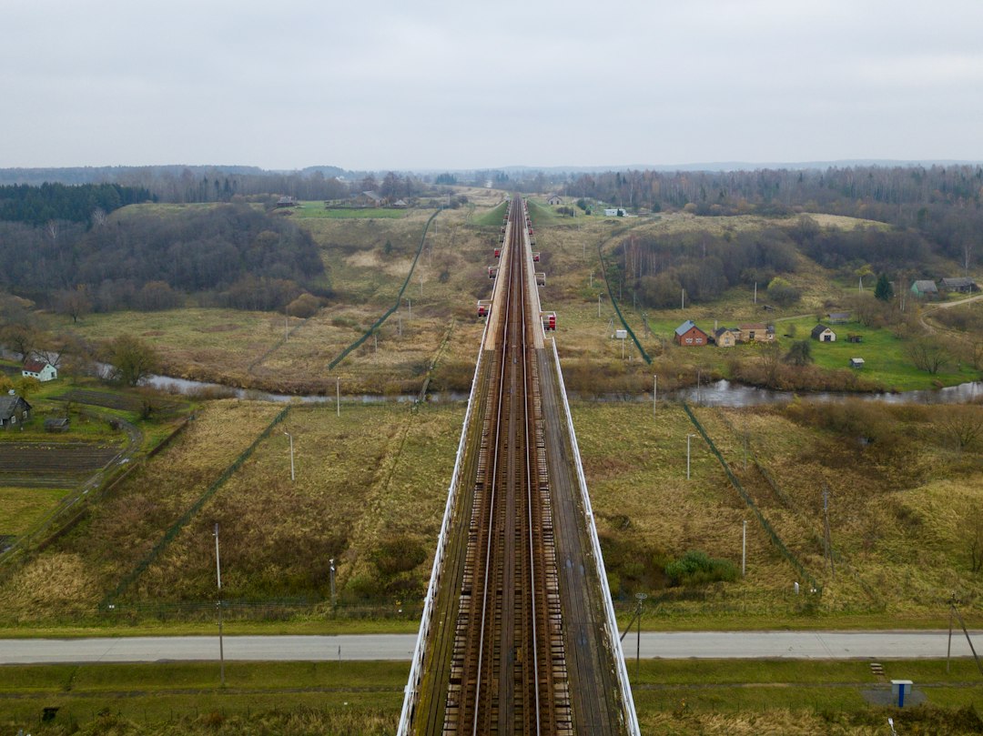
Photo by Dean Caldwell / Unsplash. Used under the Unsplash License. Source.
What the Modern Surveyor Can Carry Forward
Historic railroad work rewards careful translation between project coordinates, physical evidence, engineering plans, and property records. No single map type answers every question.
Modern mobile mapping can collect a corridor rapidly, but it does not replace interpretation of stationing, alignment history, rights, and record lineage.
One useful exercise is to select a short segment of surveying and engineering of American railroads and reconstruct its survey sequence: reconnaissance, preliminary control, design survey, staking, as-built measurement, and later maintenance. The same ground can produce several legitimate surveys because each phase has a different decision to support.
Historical units and stationing demand care. A station number is a project coordinate, not necessarily a monument; a milepost may reflect an operational convention; an elevation may belong to a superseded datum. Curves, spirals, grades, and offsets may be recorded in notation unfamiliar to a modern field crew.
Photographs are especially persuasive and especially easy to misuse. Construction scenes may not show the survey operation described in the text. This series uses openly licensed contemporary photographs as visual context and links documentary claims to institutional sources.
Infrastructure history is strongest when engineering reports are compared with maps, contracts, photographs, labor records, and later maintenance files. Each source reveals a different layer of the project and a different definition of completion.
Surveyors often inherit infrastructure whose original control is damaged, buried, renumbered, or expressed in a local coordinate system. Recovery begins with records and physical evidence, followed by a transformation plan that preserves the distinction between original design geometry and present observations.
surveying and engineering of American railroads became durable because measurements were turned into an operational record. Alignment sheets, profiles, monument descriptions, right-of-way plans, benchmarks, and as-builts let later crews repair and expand systems without treating every project as new ground.
One useful exercise is to select a short segment of surveying and engineering of American railroads and reconstruct its survey sequence: reconnaissance, preliminary control, design survey, staking, as-built measurement, and later maintenance. The same ground can produce several legitimate surveys because each phase has a different decision to support.
Historical units and stationing demand care. A station number is a project coordinate, not necessarily a monument; a milepost may reflect an operational convention; an elevation may belong to a superseded datum. Curves, spirals, grades, and offsets may be recorded in notation unfamiliar to a modern field crew.
Photographs are especially persuasive and especially easy to misuse. Construction scenes may not show the survey operation described in the text. This series uses openly licensed contemporary photographs as visual context and links documentary claims to institutional sources.
Infrastructure history is strongest when engineering reports are compared with maps, contracts, photographs, labor records, and later maintenance files. Each source reveals a different layer of the project and a different definition of completion.
Surveyors often inherit infrastructure whose original control is damaged, buried, renumbered, or expressed in a local coordinate system. Recovery begins with records and physical evidence, followed by a transformation plan that preserves the distinction between original design geometry and present observations.
surveying and engineering of American railroads became durable because measurements were turned into an operational record. Alignment sheets, profiles, monument descriptions, right-of-way plans, benchmarks, and as-builts let later crews repair and expand systems without treating every project as new ground.
One useful exercise is to select a short segment of surveying and engineering of American railroads and reconstruct its survey sequence: reconnaissance, preliminary control, design survey, staking, as-built measurement, and later maintenance. The same ground can produce several legitimate surveys because each phase has a different decision to support.
Historical units and stationing demand care. A station number is a project coordinate, not necessarily a monument; a milepost may reflect an operational convention; an elevation may belong to a superseded datum. Curves, spirals, grades, and offsets may be recorded in notation unfamiliar to a modern field crew.
Photographs are especially persuasive and especially easy to misuse. Construction scenes may not show the survey operation described in the text. This series uses openly licensed contemporary photographs as visual context and links documentary claims to institutional sources.
Infrastructure history is strongest when engineering reports are compared with maps, contracts, photographs, labor records, and later maintenance files. Each source reveals a different layer of the project and a different definition of completion.
Surveyors often inherit infrastructure whose original control is damaged, buried, renumbered, or expressed in a local coordinate system. Recovery begins with records and physical evidence, followed by a transformation plan that preserves the distinction between original design geometry and present observations.
surveying and engineering of American railroads became durable because measurements were turned into an operational record. Alignment sheets, profiles, monument descriptions, right-of-way plans, benchmarks, and as-builts let later crews repair and expand systems without treating every project as new ground.
One useful exercise is to select a short segment of surveying and engineering of American railroads and reconstruct its survey sequence: reconnaissance, preliminary control, design survey, staking, as-built measurement, and later maintenance. The same ground can produce several legitimate surveys because each phase has a different decision to support.
Historical units and stationing demand care. A station number is a project coordinate, not necessarily a monument; a milepost may reflect an operational convention; an elevation may belong to a superseded datum. Curves, spirals, grades, and offsets may be recorded in notation unfamiliar to a modern field crew.
Photographs are especially persuasive and especially easy to misuse. Construction scenes may not show the survey operation described in the text. This series uses openly licensed contemporary photographs as visual context and links documentary claims to institutional sources.
Infrastructure history is strongest when engineering reports are compared with maps, contracts, photographs, labor records, and later maintenance files. Each source reveals a different layer of the project and a different definition of completion.
Surveyors often inherit infrastructure whose original control is damaged, buried, renumbered, or expressed in a local coordinate system. Recovery begins with records and physical evidence, followed by a transformation plan that preserves the distinction between original design geometry and present observations.
surveying and engineering of American railroads became durable because measurements were turned into an operational record. Alignment sheets, profiles, monument descriptions, right-of-way plans, benchmarks, and as-builts let later crews repair and expand systems without treating every project as new ground.
One useful exercise is to select a short segment of surveying and engineering of American railroads and reconstruct its survey sequence: reconnaissance, preliminary control, design survey, staking, as-built measurement, and later maintenance. The same ground can produce several legitimate surveys because each phase has a different decision to support.
Historical units and stationing demand care. A station number is a project coordinate, not necessarily a monument; a milepost may reflect an operational convention; an elevation may belong to a superseded datum. Curves, spirals, grades, and offsets may be recorded in notation unfamiliar to a modern field crew.
Photographs are especially persuasive and especially easy to misuse. Construction scenes may not show the survey operation described in the text. This series uses openly licensed contemporary photographs as visual context and links documentary claims to institutional sources.
Infrastructure history is strongest when engineering reports are compared with maps, contracts, photographs, labor records, and later maintenance files. Each source reveals a different layer of the project and a different definition of completion.
Surveyors often inherit infrastructure whose original control is damaged, buried, renumbered, or expressed in a local coordinate system. Recovery begins with records and physical evidence, followed by a transformation plan that preserves the distinction between original design geometry and present observations.
surveying and engineering of American railroads became durable because measurements were turned into an operational record. Alignment sheets, profiles, monument descriptions, right-of-way plans, benchmarks, and as-builts let later crews repair and expand systems without treating every project as new ground.
One useful exercise is to select a short segment of surveying and engineering of American railroads and reconstruct its survey sequence: reconnaissance, preliminary control, design survey, staking, as-built measurement, and later maintenance. The same ground can produce several legitimate surveys because each phase has a different decision to support.
Historical units and stationing demand care. A station number is a project coordinate, not necessarily a monument; a milepost may reflect an operational convention; an elevation may belong to a superseded datum. Curves, spirals, grades, and offsets may be recorded in notation unfamiliar to a modern field crew.
Photographs are especially persuasive and especially easy to misuse. Construction scenes may not show the survey operation described in the text. This series uses openly licensed contemporary photographs as visual context and links documentary claims to institutional sources.
Sources and Further Reading
Library of Congress railroad maps collection