
Infrastructure & Engineering
Surveying the Iron Road, Part 1: How Early American Railroads Found a Line
How reconnaissance, profiles, curves, grades, and maps turned proposed railroads into buildable routes.
On This Page
- 01 — Introduction
- 02 — Reconnaissance Before Precision
- 03 — The Location Survey
- 04 — Grades Rule the Railroad
- 05 — Curves and the Geometry of Motion
- 06 — Bridges, Tunnels, and Crossings
- 07 — Maps for Investors and Legislatures
- 08 — What the Modern Surveyor Can Carry Forward
- 09 — Sources and Further Reading
Series: Surveying the Iron Road
A railroad line is a negotiated geometry. It seeks gentle grades, broad curves, stable ground, affordable crossings, access to towns and resources, and a right-of-way that can actually be acquired.
Early American railroad surveyors worked before reliable regional mapping covered much of the country. Their route surveys often created the first detailed profiles and corridor maps available for the terrain.
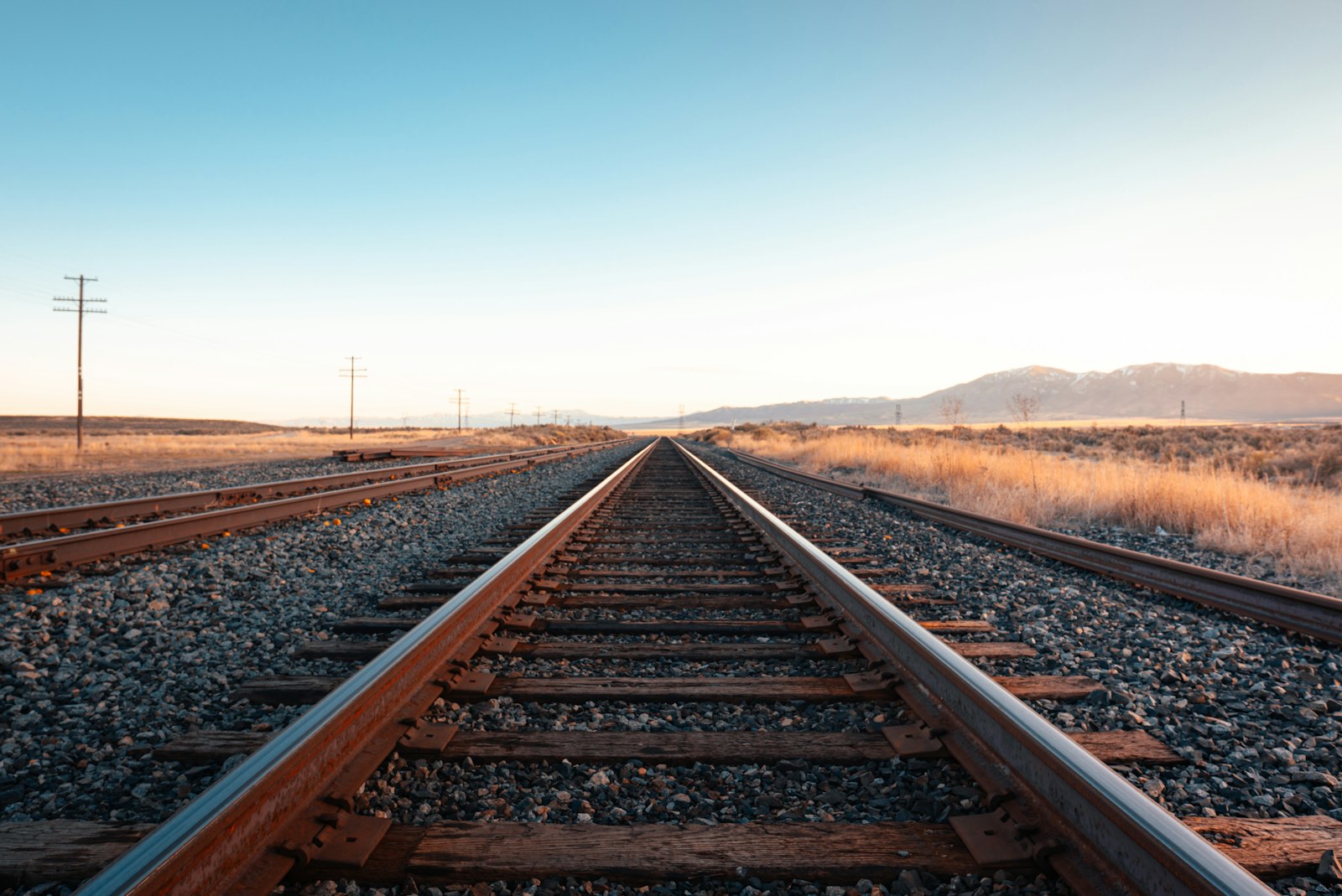
Photograph by Jake Weirick, available through Unsplash.
Reconnaissance Before Precision
Engineers and surveyors first searched for passes, valleys, river crossings, and feasible approaches. Local guides, existing roads, and visual judgment narrowed the field.
Preliminary work should eliminate poor alternatives cheaply before high-order measurement is invested.
Reconnaissance Before Precision belonged to a measurement chain. Reconnaissance, route location, traverse, profile leveling, curve layout, right-of-way survey, construction staking, and as-built mapping became reliable only when crews connected observations to control, applied corrections, checked independent evidence, and preserved records. A finished plan hides much of that labor, so the surveyor should read backward from product to field procedure.
The Location Survey
Once a corridor looked promising, crews ran traverses, levels, cross sections, and profiles. Stationing organized every later reference along the route.
A centerline coordinate is only part of location. Grade, curvature, earthwork, drainage, and property impacts determine whether the line can be built.
The environment was part of the instrument. In forests, rivers, plains, deserts, mountain passes, winter weather, remote camps, and corridors being built ahead of reliable transportation, weather, terrain, access, visibility, transport, and fatigue limited what could be built and observed. Good procedures were designed for those limits rather than copied from ideal conditions.
Grades Rule the Railroad
Steam locomotives were highly sensitive to grade. Small elevation differences spread across miles could determine hauling capacity, cost, and the need for cuts, fills, or helper engines.
Precise leveling carried economic consequences. A vertical error could change the apparent feasibility of an entire route.
railroad companies, federal and state governments, military survey expeditions, engineering departments, land offices, and construction contractors supplied standards, authority, computation, and archives. It also decided which routes or properties mattered. Infrastructure maps are therefore technical records and expressions of public or corporate power at the same time.
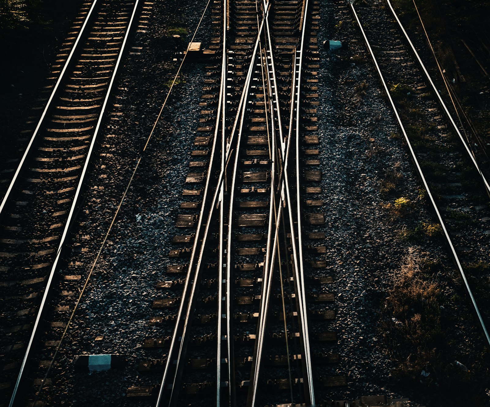
Photograph by Mihai Lazăr, available through Unsplash.
Curves and the Geometry of Motion
Rail vehicles need controlled curvature and transitions. Surveyors laid out tangents, intersection points, circular curves, and later spirals using tables and field methods suited to the equipment.
Alignment geometry converts operational limits into stakeable points. The field layout is a physical implementation of design mathematics.
The error budget included compass and angle error, chain or tape scale, grade transfer, stationing, curve geometry, elevation closure, settlement, and record ambiguity. Some effects accumulated gradually; others produced immediate blunders. Repetition, closure, calibration, balanced geometry, and independent surveys were different tools for different risks.
Bridges, Tunnels, and Crossings
Major structures created local surveys within the route survey. Bridge seats, tunnel portals, shafts, and approaches had to meet the main alignment and grade.
Independent crews need a shared control system and closure strategy, especially when work advances from opposite ends.
rail corridor mapping, mobile lidar, GNSS control, track geometry systems, right-of-way GIS, and construction machine control inherits the same logic. Digital sensors accelerate collection, yet design coordinates, datums, transformations, quality control, and as-built evidence still determine whether information can be trusted across disciplines.
Maps for Investors and Legislatures
Railroad maps promoted routes, supported charters, displayed connections, and sometimes advertised land. Their visual certainty could exceed the completeness of field investigation.
A promotional map and an engineering location map may show the same line while carrying very different evidentiary weight.
Primary records should be read in layers. Reconnaissance maps show alternatives, location surveys define a choice, construction records control work, and valuation or right-of-way maps serve legal and administrative purposes. They may depict the same corridor while answering different questions.
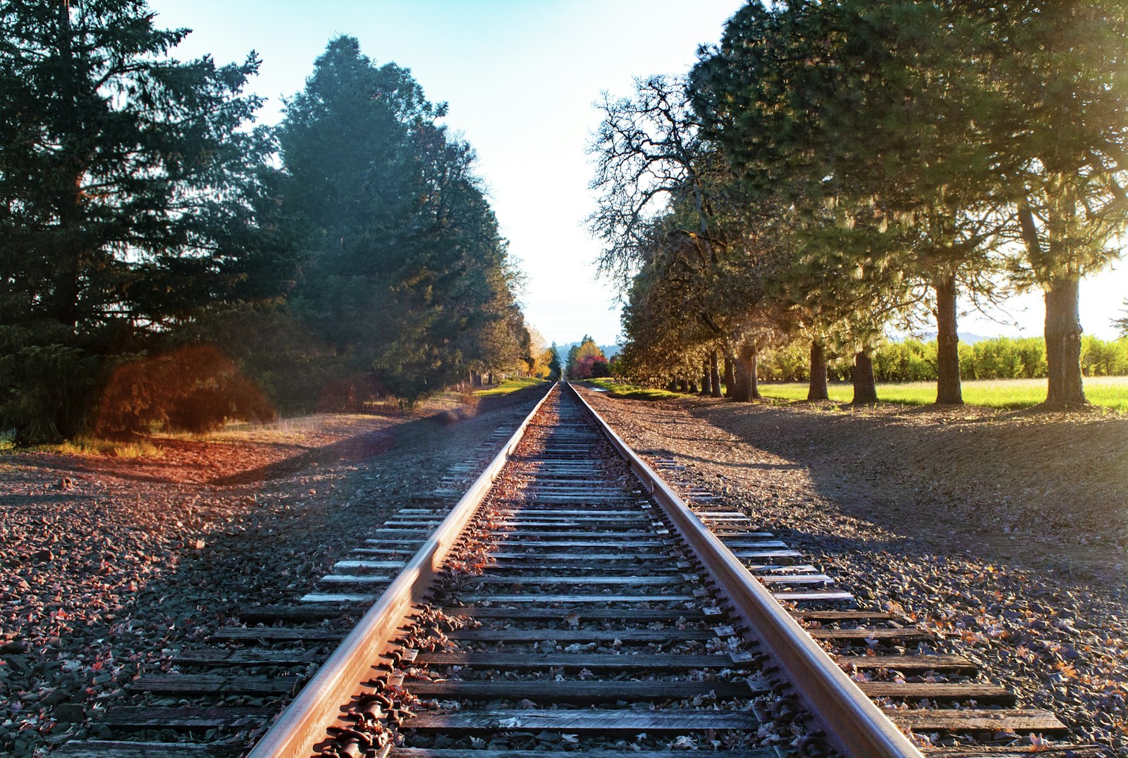
Photograph by David Herron, available through Unsplash.
What the Modern Surveyor Can Carry Forward
Early railroad location teaches that the best line is rarely the shortest. Surveying created the terrain model and alignment evidence needed to balance operating cost against construction cost.
Part 2 follows the government surveys and competing railroad companies that carried those methods across the continent.
One useful exercise is to select a short segment of surveying and engineering of American railroads and reconstruct its survey sequence: reconnaissance, preliminary control, design survey, staking, as-built measurement, and later maintenance. The same ground can produce several legitimate surveys because each phase has a different decision to support.
Historical units and stationing demand care. A station number is a project coordinate, not necessarily a monument; a milepost may reflect an operational convention; an elevation may belong to a superseded datum. Curves, spirals, grades, and offsets may be recorded in notation unfamiliar to a modern field crew.
Photographs are especially persuasive and especially easy to misuse. Construction scenes may not show the survey operation described in the text. This series uses openly licensed contemporary photographs as visual context and links documentary claims to institutional sources.
Infrastructure history is strongest when engineering reports are compared with maps, contracts, photographs, labor records, and later maintenance files. Each source reveals a different layer of the project and a different definition of completion.
Surveyors often inherit infrastructure whose original control is damaged, buried, renumbered, or expressed in a local coordinate system. Recovery begins with records and physical evidence, followed by a transformation plan that preserves the distinction between original design geometry and present observations.
surveying and engineering of American railroads became durable because measurements were turned into an operational record. Alignment sheets, profiles, monument descriptions, right-of-way plans, benchmarks, and as-builts let later crews repair and expand systems without treating every project as new ground.
One useful exercise is to select a short segment of surveying and engineering of American railroads and reconstruct its survey sequence: reconnaissance, preliminary control, design survey, staking, as-built measurement, and later maintenance. The same ground can produce several legitimate surveys because each phase has a different decision to support.
Historical units and stationing demand care. A station number is a project coordinate, not necessarily a monument; a milepost may reflect an operational convention; an elevation may belong to a superseded datum. Curves, spirals, grades, and offsets may be recorded in notation unfamiliar to a modern field crew.
Photographs are especially persuasive and especially easy to misuse. Construction scenes may not show the survey operation described in the text. This series uses openly licensed contemporary photographs as visual context and links documentary claims to institutional sources.
Infrastructure history is strongest when engineering reports are compared with maps, contracts, photographs, labor records, and later maintenance files. Each source reveals a different layer of the project and a different definition of completion.
Surveyors often inherit infrastructure whose original control is damaged, buried, renumbered, or expressed in a local coordinate system. Recovery begins with records and physical evidence, followed by a transformation plan that preserves the distinction between original design geometry and present observations.
surveying and engineering of American railroads became durable because measurements were turned into an operational record. Alignment sheets, profiles, monument descriptions, right-of-way plans, benchmarks, and as-builts let later crews repair and expand systems without treating every project as new ground.
One useful exercise is to select a short segment of surveying and engineering of American railroads and reconstruct its survey sequence: reconnaissance, preliminary control, design survey, staking, as-built measurement, and later maintenance. The same ground can produce several legitimate surveys because each phase has a different decision to support.
Historical units and stationing demand care. A station number is a project coordinate, not necessarily a monument; a milepost may reflect an operational convention; an elevation may belong to a superseded datum. Curves, spirals, grades, and offsets may be recorded in notation unfamiliar to a modern field crew.
Photographs are especially persuasive and especially easy to misuse. Construction scenes may not show the survey operation described in the text. This series uses openly licensed contemporary photographs as visual context and links documentary claims to institutional sources.
Infrastructure history is strongest when engineering reports are compared with maps, contracts, photographs, labor records, and later maintenance files. Each source reveals a different layer of the project and a different definition of completion.
Surveyors often inherit infrastructure whose original control is damaged, buried, renumbered, or expressed in a local coordinate system. Recovery begins with records and physical evidence, followed by a transformation plan that preserves the distinction between original design geometry and present observations.
surveying and engineering of American railroads became durable because measurements were turned into an operational record. Alignment sheets, profiles, monument descriptions, right-of-way plans, benchmarks, and as-builts let later crews repair and expand systems without treating every project as new ground.
One useful exercise is to select a short segment of surveying and engineering of American railroads and reconstruct its survey sequence: reconnaissance, preliminary control, design survey, staking, as-built measurement, and later maintenance. The same ground can produce several legitimate surveys because each phase has a different decision to support.
Historical units and stationing demand care. A station number is a project coordinate, not necessarily a monument; a milepost may reflect an operational convention; an elevation may belong to a superseded datum. Curves, spirals, grades, and offsets may be recorded in notation unfamiliar to a modern field crew.
Photographs are especially persuasive and especially easy to misuse. Construction scenes may not show the survey operation described in the text. This series uses openly licensed contemporary photographs as visual context and links documentary claims to institutional sources.
Infrastructure history is strongest when engineering reports are compared with maps, contracts, photographs, labor records, and later maintenance files. Each source reveals a different layer of the project and a different definition of completion.
Surveyors often inherit infrastructure whose original control is damaged, buried, renumbered, or expressed in a local coordinate system. Recovery begins with records and physical evidence, followed by a transformation plan that preserves the distinction between original design geometry and present observations.
surveying and engineering of American railroads became durable because measurements were turned into an operational record. Alignment sheets, profiles, monument descriptions, right-of-way plans, benchmarks, and as-builts let later crews repair and expand systems without treating every project as new ground.
One useful exercise is to select a short segment of surveying and engineering of American railroads and reconstruct its survey sequence: reconnaissance, preliminary control, design survey, staking, as-built measurement, and later maintenance. The same ground can produce several legitimate surveys because each phase has a different decision to support.
Historical units and stationing demand care. A station number is a project coordinate, not necessarily a monument; a milepost may reflect an operational convention; an elevation may belong to a superseded datum. Curves, spirals, grades, and offsets may be recorded in notation unfamiliar to a modern field crew.
Photographs are especially persuasive and especially easy to misuse. Construction scenes may not show the survey operation described in the text. This series uses openly licensed contemporary photographs as visual context and links documentary claims to institutional sources.
Infrastructure history is strongest when engineering reports are compared with maps, contracts, photographs, labor records, and later maintenance files. Each source reveals a different layer of the project and a different definition of completion.
Surveyors often inherit infrastructure whose original control is damaged, buried, renumbered, or expressed in a local coordinate system. Recovery begins with records and physical evidence, followed by a transformation plan that preserves the distinction between original design geometry and present observations.
surveying and engineering of American railroads became durable because measurements were turned into an operational record. Alignment sheets, profiles, monument descriptions, right-of-way plans, benchmarks, and as-builts let later crews repair and expand systems without treating every project as new ground.
One useful exercise is to select a short segment of surveying and engineering of American railroads and reconstruct its survey sequence: reconnaissance, preliminary control, design survey, staking, as-built measurement, and later maintenance. The same ground can produce several legitimate surveys because each phase has a different decision to support.
Historical units and stationing demand care. A station number is a project coordinate, not necessarily a monument; a milepost may reflect an operational convention; an elevation may belong to a superseded datum. Curves, spirals, grades, and offsets may be recorded in notation unfamiliar to a modern field crew.
Photographs are especially persuasive and especially easy to misuse. Construction scenes may not show the survey operation described in the text. This series uses openly licensed contemporary photographs as visual context and links documentary claims to institutional sources.
Sources and Further Reading
Library of Congress: Beginnings of American railroads and mapping