
Ancient Surveying
Boundaries in the Bible: Landmarks, Measuring Lines, and the Language of Inheritance
The Bible is not a surveying manual, but its laws, narratives, and prophetic images preserve a world in which moving a stone could threaten a family’s future and measuring land could symbolize order, judgment, or restoration.
On This Page
- 01 — Introduction
- 02 — Land as Inheritance
- 03 — The Prohibition Against Moving a Landmark
- 04 — Joshua and the Work of Description
- 05 — Lots, Allotment, and Authority
- 06 — Boundaries Written Through the Landscape
- 07 — Measuring Lines as Practical and Poetic Tools
- 08 — Ezekiel’s Visionary Survey
- 09 — Witnesses, Memory, and Public Knowledge
- 10 — What Archaeology Can—and Cannot—Add
- 11 — From Tribal Territory to the Modern Parcel
- 12 — Reading the Evidence Carefully
- 13 — From Historical Record to Field Practice
- 14 — An Old Problem in a Different Vocabulary
- 15 — A Surveyor’s Reading Checklist
- 16 — Sources and Further Reading
The Bible is not a surveying manual, but its laws, narratives, and prophetic images preserve a world in which moving a stone could threaten a family’s future and measuring land could symbolize order, judgment, or restoration.
A modern deed may begin with a point of commencement, follow bearings and distances, and close mathematically. Biblical land descriptions usually speak another language: tribal allotments, towns, roads, wadis, springs, mountains, gates, and boundary stones. Yet the problem beneath the words is recognizable. A community had to decide who held land, identify it on the ground, transfer it through generations, and settle conflict when memory or markers failed.
This article follows several kinds of evidence—legal warnings, allotment stories, poetic metaphors, and visionary plans—without claiming more than the texts support. Translations differ, ancient place names are debated, and a literary description is not the same thing as a surviving cadastral survey. Read cautiously, however, these passages reveal how closely land, family, law, and physical markers were joined.
Before a boundary could be a line on a screen, it was a place remembered by people and made visible by stones, paths, water, and testimony.
Land as Inheritance
In much of the Hebrew Bible, land is presented not merely as a commodity but as an inheritance held within kinship and tribal structures. The book of Joshua describes territories distributed among tribes and families. That framework gave boundaries social weight: a line separated not only fields but obligations, livelihoods, and identities. Descriptions commonly relied on named natural and cultural features rather than abstract coordinate pairs.
For a land surveyor, the useful lesson is not that this passage supplies a modern procedure. It is that land was already being made durable through named neighbors, remembered markers, measured quantities, witnesses, and public authority. Those are ancestors of ideas that still appear in deeds, plats, monument records, and boundary testimony. The vocabulary changed; the need to connect human rights to physical ground did not. The meaning attached to a boundary helps explain why retracing it requires historical context as well as measurement.
The Prohibition Against Moving a Landmark
Deuteronomy 19:14 and 27:17 condemn moving a neighbor’s landmark, and Proverbs repeats the warning. The text does not describe the marker’s construction or a technical procedure for setting it. Its force is ethical and legal: secretly shifting a recognized point could enlarge one holding by stealing from another. A small physical act could disturb an inherited social order.
For a land surveyor, the useful lesson is not that this passage supplies a modern procedure. It is that land was already being made durable through named neighbors, remembered markers, measured quantities, witnesses, and public authority. Those are ancestors of ideas that still appear in deeds, plats, monument records, and boundary testimony. The vocabulary changed; the need to connect human rights to physical ground did not. Monuments acquire authority through placement, recognition, and the rights that depend on them—not simply through their material.
Joshua and the Work of Description
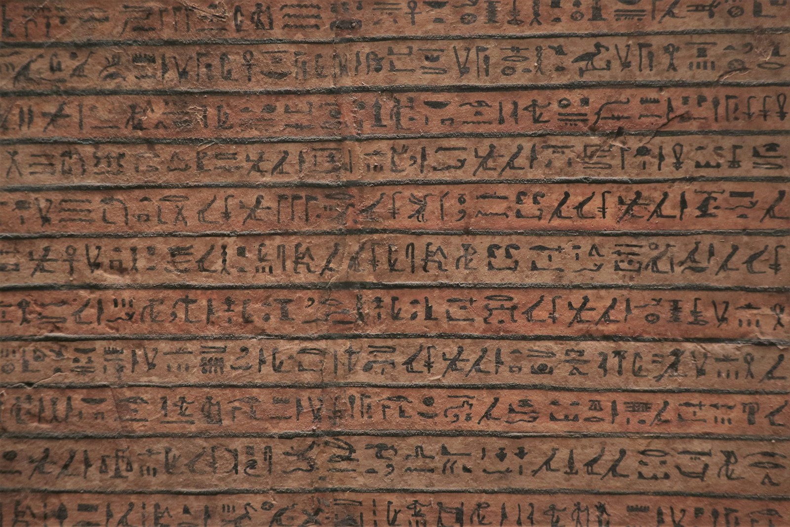
Joshua 18:4–10 tells of men sent to walk through the remaining land and write a description of it before allotment. Some translations say “survey,” but the underlying episode does not give us bearings, instruments, or a measured plat. It nevertheless joins reconnaissance, written description, public allocation, and administrative decision in a sequence that feels strikingly familiar.
For a land surveyor, the useful lesson is not that this passage supplies a modern procedure. It is that land was already being made durable through named neighbors, remembered markers, measured quantities, witnesses, and public authority. Those are ancestors of ideas that still appear in deeds, plats, monument records, and boundary testimony. The vocabulary changed; the need to connect human rights to physical ground did not. Translation choices can make an ancient task sound more modern than the surviving evidence allows, so the original setting always matters.
Photo: Chris Linnett / Unsplash. Used under the Unsplash License.
Lots, Allotment, and Authority
Land in Joshua is apportioned by lot before recognized leaders and at a central place. The lot was a means of decision within the religious and political world of the text, not a field measurement. Once the allocation was made, however, communities still needed a practical understanding of what territory the decision covered. Allocation and location were related but distinct acts.
For a land surveyor, the useful lesson is not that this passage supplies a modern procedure. It is that land was already being made durable through named neighbors, remembered markers, measured quantities, witnesses, and public authority. Those are ancestors of ideas that still appear in deeds, plats, monument records, and boundary testimony. The vocabulary changed; the need to connect human rights to physical ground did not. A document may create or confirm a right while field evidence identifies where that right operates.
Boundaries Written Through the Landscape
Territorial passages often move from one named feature to another: a spring, ridge, settlement, valley, road, or wilderness edge. Their purpose differs from a modern metes-and-bounds description, yet they use the visible landscape as a chain of evidence. Some names disappeared or migrated, and some features changed, which makes exact modern reconstruction uncertain.
For a land surveyor, the useful lesson is not that this passage supplies a modern procedure. It is that land was already being made durable through named neighbors, remembered markers, measured quantities, witnesses, and public authority. Those are ancestors of ideas that still appear in deeds, plats, monument records, and boundary testimony. The vocabulary changed; the need to connect human rights to physical ground did not. Natural calls can be powerful evidence, but their identity and stability must be tested rather than assumed.
Measuring Lines as Practical and Poetic Tools
A cord or measuring line appears both literally and figuratively. Such lines could express division, construction, ownership, or judgment. In Amos 7 a plumb line becomes an image of examination; in other passages a measuring line marks destruction or rebuilding. The metaphor worked because listeners understood the practical authority of straightness, alignment, and measured extent.
For a land surveyor, the useful lesson is not that this passage supplies a modern procedure. It is that land was already being made durable through named neighbors, remembered markers, measured quantities, witnesses, and public authority. Those are ancestors of ideas that still appear in deeds, plats, monument records, and boundary testimony. The vocabulary changed; the need to connect human rights to physical ground did not. Technical tools become metaphors only when ordinary people recognize what those tools do.
Photo: Yura Lytkin / Unsplash. Used under the Unsplash License.
Ezekiel’s Visionary Survey
Ezekiel 40–48 describes a visionary figure measuring a temple complex with a reed and cord. The description is elaborate, spatial, and repetitive. It is theology and visionary literature rather than a recovered construction staking plan, but it shows measurement being used to communicate ordered space, access, separation, and restoration.
For a land surveyor, the useful lesson is not that this passage supplies a modern procedure. It is that land was already being made durable through named neighbors, remembered markers, measured quantities, witnesses, and public authority. Those are ancestors of ideas that still appear in deeds, plats, monument records, and boundary testimony. The vocabulary changed; the need to connect human rights to physical ground did not. A measured plan can carry legal, ceremonial, and symbolic meaning at the same time.
Witnesses, Memory, and Public Knowledge
Ancient boundary security did not rest on an isolated marker alone. Elders, neighbors, customary use, family memory, and public proceedings helped preserve a line’s identity. Biblical narratives repeatedly place legal acts at gates or before witnesses. The surviving text reminds us that boundary evidence has always been both physical and human.
For a land surveyor, the useful lesson is not that this passage supplies a modern procedure. It is that land was already being made durable through named neighbors, remembered markers, measured quantities, witnesses, and public authority. Those are ancestors of ideas that still appear in deeds, plats, monument records, and boundary testimony. The vocabulary changed; the need to connect human rights to physical ground did not. A stone without provenance is only a stone; testimony explains why that object matters.
What Archaeology Can—and Cannot—Add
Archaeology identifies settlement patterns, fortifications, agricultural terraces, inscriptions, and administrative remains, but it rarely lets us place every line described in an ancient text. Scholars debate dates, historical settings, and the relationship between a written tradition and excavated evidence. Responsible history keeps those debates visible instead of using an attractive artifact as automatic proof.
For a land surveyor, the useful lesson is not that this passage supplies a modern procedure. It is that land was already being made durable through named neighbors, remembered markers, measured quantities, witnesses, and public authority. Those are ancestors of ideas that still appear in deeds, plats, monument records, and boundary testimony. The vocabulary changed; the need to connect human rights to physical ground did not. Different evidence types answer different questions, and apparent agreement must be demonstrated.
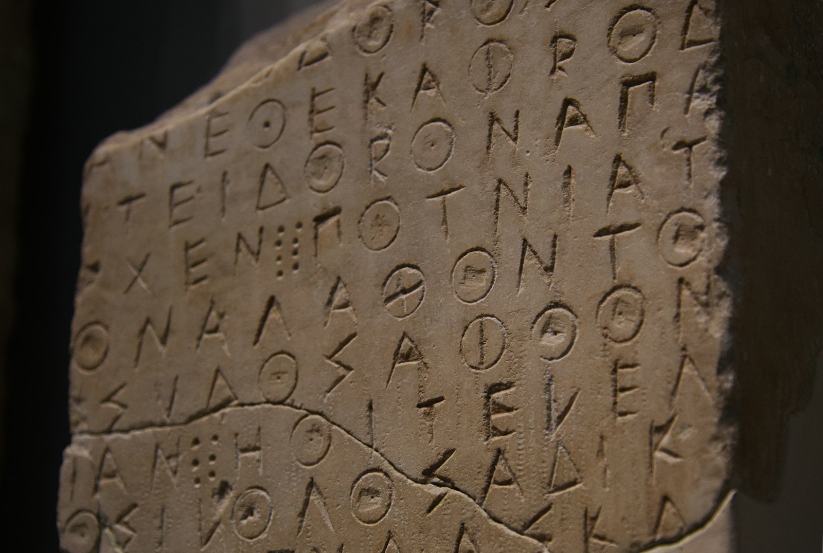
Photo: Andy Kennedy / Unsplash. Used under the Unsplash License.
From Tribal Territory to the Modern Parcel
The route from ancient territorial memory to modern cadastral systems was neither straight nor uniform. Empires, local customs, written conveyances, taxation, colonial surveys, and national mapping all changed how land was described. What persists is the practical demand for continuity: later people need to recover a decision made earlier and relate it to the ground they occupy.
For a land surveyor, the useful lesson is not that this passage supplies a modern procedure. It is that land was already being made durable through named neighbors, remembered markers, measured quantities, witnesses, and public authority. Those are ancestors of ideas that still appear in deeds, plats, monument records, and boundary testimony. The vocabulary changed; the need to connect human rights to physical ground did not. Retracement is therefore an act of historical interpretation governed by present law.
Reading the Evidence Carefully
Many readers first encounter these passages through a translation prepared for worship or general reading. A historian asks an additional set of questions: Which Hebrew term is being translated? Is the scene legal, administrative, poetic, or visionary? Does the text describe an act that happened on the ground, prescribe an ideal, or use a familiar tool as a metaphor? Those questions do not drain meaning from the passage. They protect it from being forced into a modern technical category it never claimed.
From Historical Record to Field Practice
Across this history, precision should not be confused with a large number of decimal places. Precision begins with a stated purpose, a suitable reference, controlled observations, and enough redundancy to reveal a mistake. Earlier practitioners expressed those requirements through cords, sight lines, repeated angles, witnesses, and permanent stones. Later surveyors added calibrated chains, optical circles, leveling rods, electronic measurements, satellites, and adjustment software. Every generation gained reach, yet every generation still had to decide which evidence deserved confidence. That judgment—not the novelty of the tool—is the durable craft at the center of surveying.
An Old Problem in a Different Vocabulary
Biblical references to landmarks and measuring lines deserve neither dismissal nor romantic exaggeration. They do not prove a professional survey system equivalent to a modern cadastral office. They do show that communities understood the consequences of moving a marker, the value of written description, and the authority carried by measured space.
For the lay reader, that is the bridge to present practice. Surveying is often described as measuring land, but measurement alone never explains ownership. The deeper task is to connect decisions, documents, occupation, monuments, and memory in a way that allows a community to live with the result.
A Surveyor’s Reading Checklist
- Separate legal command, narrative, poetry, and vision before treating a passage as technical evidence.
- Compare several translations when a modern word such as “survey” appears.
- Do not assume a named biblical place has one undisputed modern location.
- Distinguish allocation of rights from physical demarcation on the ground.
- Treat archaeological context as evidence, not decoration.
Sources and Further Reading
- Deuteronomy 19 (Bible Gateway)
- Joshua 18 (Bible Gateway)
- Ezekiel 40–48 (Bible Gateway)
- The Metropolitan Museum of Art: Mesopotamian boundary stone
Image credits appear with each image. Historical claims are framed to distinguish primary texts and surviving artifacts from later interpretation.