
Maps & Plats
Lewis and Clark: Mapping a Continent One Observation at a Time
How compass traverses, celestial observations, Indigenous geographic knowledge, and disciplined field notes shaped the maps of the Corps of Discovery.
On This Page
- 01 — Introduction
- 02 — An Expedition Expected to Measure
- 03 — Preparing for Celestial Work
- 04 — Compass Traverses Along the Rivers
- 05 — Latitude, Longitude, and the Sky
- 06 — William Clark as Cartographer
- 07 — Maps as Instruments of Expansion
- 08 — The Field Book Mindset
- 09 — What an Entry-Level Surveyor Can Take From the Expedition
- 10 — A Map Larger Than the Route
- 11 — Sources and Further Reading
An Expedition Expected to Measure
The Corps of Discovery is remembered as an overland journey to the Pacific, but it was also a sustained project of observation and mapping. President Thomas Jefferson instructed Meriwether Lewis to record geography, natural history, trade possibilities, and the Native nations encountered along the route. William Clark assumed much of the day-to-day cartographic work.
The expedition did not enter an unknown or empty continent. Native communities possessed extensive geographic knowledge, established routes, place names, and relationships with the land. Lewis and Clark depended on Indigenous guides and information while translating what they learned into the forms expected by the United States government and Euro-American mapmaking.
Preparing for Celestial Work
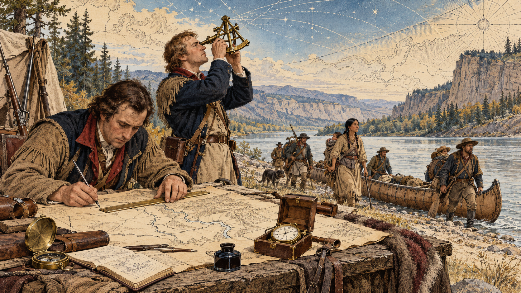
Before departure, Lewis received instruction in scientific observation. Andrew Ellicott, an accomplished surveyor and astronomer, helped train him in the use of instruments and methods for determining latitude and longitude. The expedition carried a remarkable collection of equipment: sextants, a Hadley’s quadrant, compasses, a chronometer, telescope, thermometers, plotting instruments, and measuring devices.
The National Park Service notes that the chronometer was the single most expensive item in the expedition’s supply budget. Accurate time was essential to some methods of determining longitude. A chronometer suitable for field travel was delicate, and errors in timekeeping could translate directly into positional error.
Compass Traverses Along the Rivers
Much of Clark’s mapping relied on compass traverse techniques. As the party moved, he recorded courses, estimated or measured distances, and sketched the relationships among river bends, tributaries, islands, camps, mountains, and settlements. The Missouri and Columbia river systems provided both route and organizing feature.
This was not a modern control survey. Daily travel included currents, portages, weather, magnetic variation, rough estimates, and the practical demands of keeping a large party alive. Clark continuously revised his mapping as new observations and geographic information became available.
The resulting maps were valuable because they assembled many kinds of evidence. Direct travel observations were combined with celestial positions, earlier maps, and information supplied by traders and Native people. The map became a reasoned synthesis rather than a simple trace of footsteps.
Latitude, Longitude, and the Sky
Latitude could be determined from observations of celestial bodies and the angle above the horizon. Longitude was more difficult because it required a relationship between local time and a reference time or the use of astronomical events that could be compared with predictions.
Lewis took numerous celestial observations, recording angles and times for later calculation. The raw observations did not always yield an immediate field position. Specialists after the expedition could rework the data using astronomical tables and improved calculations.
The party also dealt with instrument limitations. An observation might be affected by an uncertain horizon, index error, weather, an unstable setup, or a chronometer problem. Modern surveyors will recognize the underlying lesson: an observed number is inseparable from the instrument, method, conditions, and reduction applied to it.
William Clark as Cartographer
The National Park Service describes Clark as a master cartographer. He kept route maps during the journey and later prepared a comprehensive map of the expedition’s path and the broader West. His work changed the geographic picture available to American officials and the public.
Clark’s maps were not created from measurement alone. They incorporated conversations and sketches from Indigenous people who knew routes and river systems beyond the expedition’s direct path. The Library of Congress exhibition on Lewis and Clark emphasizes the expedition’s program of observing, collecting, documenting, and classifying. Mapping was one part of that larger Enlightenment-era scientific project.
Maps as Instruments of Expansion
The geographic information produced by the expedition served scientific and navigational purposes, but it also supported expanding United States interest in western lands and trade. Maps can describe a landscape while simultaneously advancing the objectives of the institution that requested them.
A modern reading should therefore hold several truths together. The mapping represented extraordinary sustained fieldwork. It also depended on Native geographic knowledge. And it became part of a federal expansion whose later consequences for Native nations were profound.
The Field Book Mindset
Lewis and Clark recorded far more than coordinates. Journals described weather, landforms, plants, animals, distances, river conditions, and encounters. This comprehensive habit made the record useful long after the expedition. A later reader can evaluate not only a final map but also parts of the observation process behind it.
Surveyors work in the same tradition whenever they keep notes that explain the conditions of a measurement, the evidence recovered, and the reasoning behind a decision. A polished drawing is important, but the field record often preserves the information needed to understand or reproduce it.
What an Entry-Level Surveyor Can Take From the Expedition
First, prepare for the measurement. Lewis sought training before the journey and carried instruments appropriate to the intended observations. Second, record conditions and methods, not merely results. Third, use independent information critically. Clark combined direct observations with geographic knowledge from others rather than pretending every line came from his own measurement.
Fourth, expect revision. A field map is a working model. New control, better calculations, or additional evidence may require the model to change. Finally, understand the purpose of the survey. The same observations can serve navigation, science, land administration, or political expansion. Professional responsibility includes knowing how the work may be used.
A Map Larger Than the Route
By the time the expedition returned in 1806, its notebooks and maps contained an extensive geographic record of the journey from the Missouri River to the Pacific and back. The final cartographic products helped connect previously fragmented information into a more coherent regional picture.
The lasting fascination of the work lies partly in its scale, but also in its recognizable surveying problems: limited control, imperfect instruments, uncertain distances, changing magnetic direction, difficult terrain, and the need to create a trustworthy record. Strip away the mythology, and a working surveyor can still recognize the field craft.
Sources and Further Reading
National Park Service: William Clark, A Master Cartographer
National Park Service: Navigation on the Lewis and Clark Expedition
National Park Service: Lewis and Clark Used a Sextant
Library of Congress: Lewis and Clark and the Revealing of America