
Infrastructure & Engineering
Surveying the Iron Road, Part 2: The Transcontinental Railroad and the Geography of a Nation
The surveys, competing routes, mountain passes, land grants, and field crews behind the first transcontinental railroad.
On This Page
Series: Surveying the Iron Road
The first transcontinental railroad was preceded by years of surveys. Federal expeditions investigated possible corridors, railroad companies refined alignments, and construction crews pushed stakes ahead of grading across country whose maps were incomplete.
The railroad is often remembered through the golden spike of 1869. For geomatics, the deeper story is how separate lines of reconnaissance, control, profiles, land grants, and construction records were made to meet.
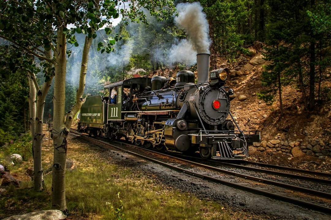
Photo by Claud Richmond / Unsplash. Used under the Unsplash License. Source.
Pacific Railroad Surveys
Federal surveys of the 1850s examined northern, central, and southern routes. They combined topography, geology, natural history, logistics, and proposed alignments.
Reconnaissance programs can be scientifically rich while still being directed toward a political infrastructure decision.
Pacific Railroad Surveys belonged to a measurement chain. Reconnaissance, route location, traverse, profile leveling, curve layout, right-of-way survey, construction staking, and as-built mapping became reliable only when crews connected observations to control, applied corrections, checked independent evidence, and preserved records. A finished plan hides much of that labor, so the surveyor should read backward from product to field procedure.
Choosing Mountain Passes
The Sierra Nevada and Rocky Mountains made elevation and grade decisive. Survey parties searched for passes, river approaches, and routes that balanced distance against climb.
One overlooked saddle or mistaken profile could change national-scale route comparison.
The environment was part of the instrument. In forests, rivers, plains, deserts, mountain passes, winter weather, remote camps, and corridors being built ahead of reliable transportation, weather, terrain, access, visibility, transport, and fatigue limited what could be built and observed. Good procedures were designed for those limits rather than copied from ideal conditions.
Union Pacific and Central Pacific Crews
Company surveyors ran lines ahead of construction, revised locations, laid curves, and transferred grades. Work proceeded from opposite directions through very different terrain.
Production surveying requires fast decisions without losing the record needed for later verification.
railroad companies, federal and state governments, military survey expeditions, engineering departments, land offices, and construction contractors supplied standards, authority, computation, and archives. It also decided which routes or properties mattered. Infrastructure maps are therefore technical records and expressions of public or corporate power at the same time.
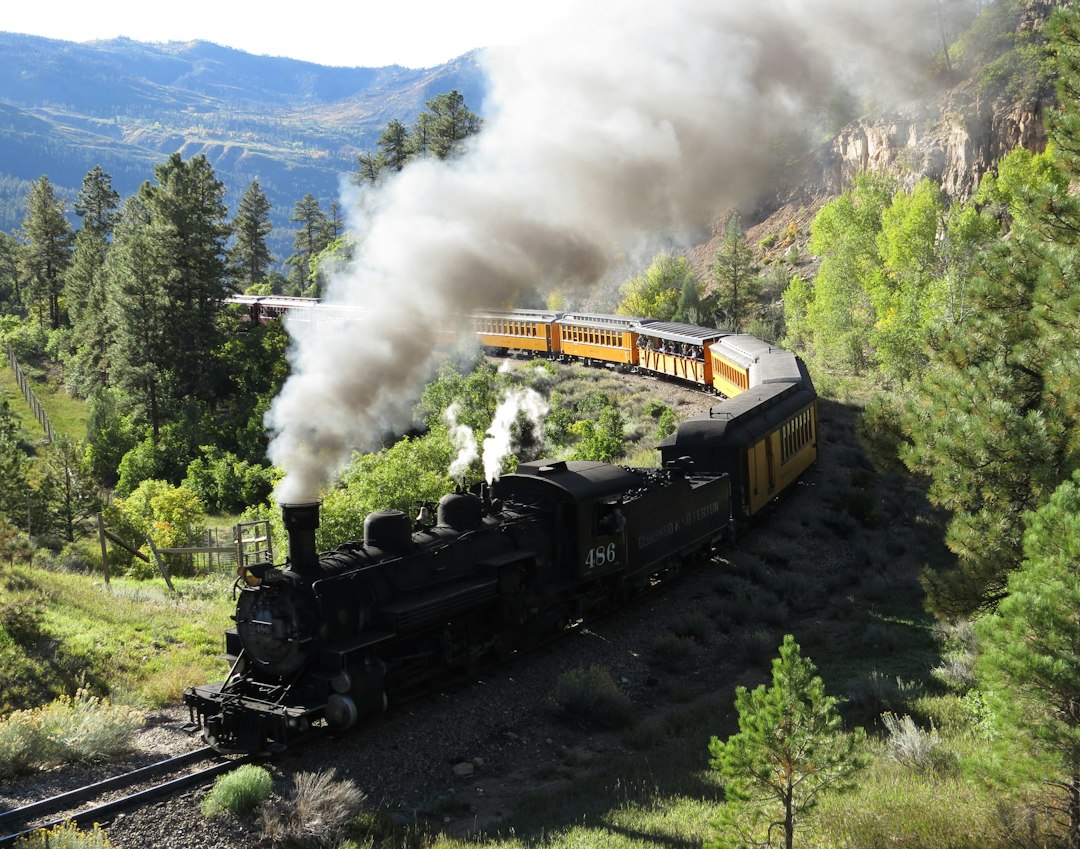
Photo by Floyd Cox / Unsplash. Used under the Unsplash License. Source.
Meeting the Lines
The ceremonial meeting at Promontory represented connection of two construction systems. Operational connection also required compatible gauge, alignment, grade, stationing, and records.
An interface is successful when the systems function together, not merely when endpoints occupy nearby ground.
The error budget included compass and angle error, chain or tape scale, grade transfer, stationing, curve geometry, elevation closure, settlement, and record ambiguity. Some effects accumulated gradually; others produced immediate blunders. Repetition, closure, calibration, balanced geometry, and independent surveys were different tools for different risks.
Land Grants and the Surveyed Corridor
Federal land grants used alternating sections along the route and connected railroad finance with the Public Land Survey System. Maps promoted land and represented corporate interests.
Transportation surveying and cadastral surveying became intertwined; the railroad line reorganized surrounding ownership and settlement.
rail corridor mapping, mobile lidar, GNSS control, track geometry systems, right-of-way GIS, and construction machine control inherits the same logic. Digital sensors accelerate collection, yet design coordinates, datums, transformations, quality control, and as-built evidence still determine whether information can be trusted across disciplines.
Labor and Consequence
Chinese workers on the Central Pacific and diverse crews on the Union Pacific performed dangerous work often minimized in older narratives. The railroad also crossed Indigenous lands and accelerated displacement.
The stakes set for construction participated in larger legal and political transformations. Technical history should identify whose ground the line entered.
Primary records should be read in layers. Reconnaissance maps show alternatives, location surveys define a choice, construction records control work, and valuation or right-of-way maps serve legal and administrative purposes. They may depict the same corridor while answering different questions.
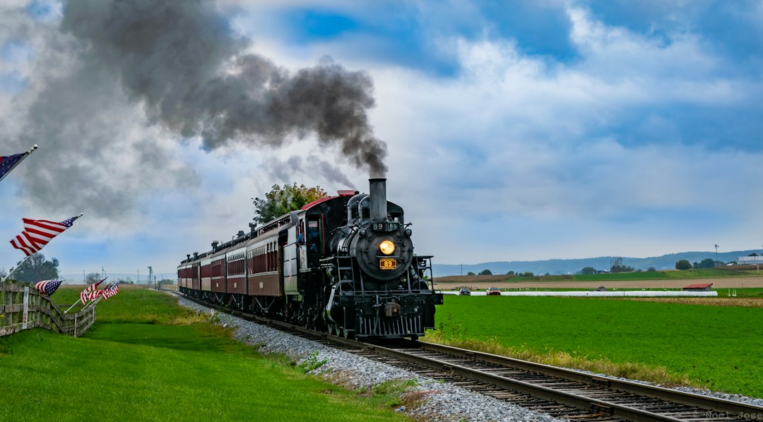
Photo by Noel Jose / Unsplash. Used under the Unsplash License. Source.
What the Modern Surveyor Can Carry Forward
The transcontinental survey was not one traverse from coast to coast. It was a layered program of reconnaissance, company location, construction control, land mapping, and later operational records.
Part 3 looks inside the geometry of the finished railroad—curves, grades, tunnels, rights-of-way, valuation maps, and the survey records still used today.
One useful exercise is to select a short segment of surveying and engineering of American railroads and reconstruct its survey sequence: reconnaissance, preliminary control, design survey, staking, as-built measurement, and later maintenance. The same ground can produce several legitimate surveys because each phase has a different decision to support.
Historical units and stationing demand care. A station number is a project coordinate, not necessarily a monument; a milepost may reflect an operational convention; an elevation may belong to a superseded datum. Curves, spirals, grades, and offsets may be recorded in notation unfamiliar to a modern field crew.
Photographs are especially persuasive and especially easy to misuse. Construction scenes may not show the survey operation described in the text. This series uses openly licensed contemporary photographs as visual context and links documentary claims to institutional sources.
Infrastructure history is strongest when engineering reports are compared with maps, contracts, photographs, labor records, and later maintenance files. Each source reveals a different layer of the project and a different definition of completion.
Surveyors often inherit infrastructure whose original control is damaged, buried, renumbered, or expressed in a local coordinate system. Recovery begins with records and physical evidence, followed by a transformation plan that preserves the distinction between original design geometry and present observations.
surveying and engineering of American railroads became durable because measurements were turned into an operational record. Alignment sheets, profiles, monument descriptions, right-of-way plans, benchmarks, and as-builts let later crews repair and expand systems without treating every project as new ground.
One useful exercise is to select a short segment of surveying and engineering of American railroads and reconstruct its survey sequence: reconnaissance, preliminary control, design survey, staking, as-built measurement, and later maintenance. The same ground can produce several legitimate surveys because each phase has a different decision to support.
Historical units and stationing demand care. A station number is a project coordinate, not necessarily a monument; a milepost may reflect an operational convention; an elevation may belong to a superseded datum. Curves, spirals, grades, and offsets may be recorded in notation unfamiliar to a modern field crew.
Photographs are especially persuasive and especially easy to misuse. Construction scenes may not show the survey operation described in the text. This series uses openly licensed contemporary photographs as visual context and links documentary claims to institutional sources.
Infrastructure history is strongest when engineering reports are compared with maps, contracts, photographs, labor records, and later maintenance files. Each source reveals a different layer of the project and a different definition of completion.
Surveyors often inherit infrastructure whose original control is damaged, buried, renumbered, or expressed in a local coordinate system. Recovery begins with records and physical evidence, followed by a transformation plan that preserves the distinction between original design geometry and present observations.
surveying and engineering of American railroads became durable because measurements were turned into an operational record. Alignment sheets, profiles, monument descriptions, right-of-way plans, benchmarks, and as-builts let later crews repair and expand systems without treating every project as new ground.
One useful exercise is to select a short segment of surveying and engineering of American railroads and reconstruct its survey sequence: reconnaissance, preliminary control, design survey, staking, as-built measurement, and later maintenance. The same ground can produce several legitimate surveys because each phase has a different decision to support.
Historical units and stationing demand care. A station number is a project coordinate, not necessarily a monument; a milepost may reflect an operational convention; an elevation may belong to a superseded datum. Curves, spirals, grades, and offsets may be recorded in notation unfamiliar to a modern field crew.
Photographs are especially persuasive and especially easy to misuse. Construction scenes may not show the survey operation described in the text. This series uses openly licensed contemporary photographs as visual context and links documentary claims to institutional sources.
Infrastructure history is strongest when engineering reports are compared with maps, contracts, photographs, labor records, and later maintenance files. Each source reveals a different layer of the project and a different definition of completion.
Surveyors often inherit infrastructure whose original control is damaged, buried, renumbered, or expressed in a local coordinate system. Recovery begins with records and physical evidence, followed by a transformation plan that preserves the distinction between original design geometry and present observations.
surveying and engineering of American railroads became durable because measurements were turned into an operational record. Alignment sheets, profiles, monument descriptions, right-of-way plans, benchmarks, and as-builts let later crews repair and expand systems without treating every project as new ground.
One useful exercise is to select a short segment of surveying and engineering of American railroads and reconstruct its survey sequence: reconnaissance, preliminary control, design survey, staking, as-built measurement, and later maintenance. The same ground can produce several legitimate surveys because each phase has a different decision to support.
Historical units and stationing demand care. A station number is a project coordinate, not necessarily a monument; a milepost may reflect an operational convention; an elevation may belong to a superseded datum. Curves, spirals, grades, and offsets may be recorded in notation unfamiliar to a modern field crew.
Photographs are especially persuasive and especially easy to misuse. Construction scenes may not show the survey operation described in the text. This series uses openly licensed contemporary photographs as visual context and links documentary claims to institutional sources.
Infrastructure history is strongest when engineering reports are compared with maps, contracts, photographs, labor records, and later maintenance files. Each source reveals a different layer of the project and a different definition of completion.
Surveyors often inherit infrastructure whose original control is damaged, buried, renumbered, or expressed in a local coordinate system. Recovery begins with records and physical evidence, followed by a transformation plan that preserves the distinction between original design geometry and present observations.
surveying and engineering of American railroads became durable because measurements were turned into an operational record. Alignment sheets, profiles, monument descriptions, right-of-way plans, benchmarks, and as-builts let later crews repair and expand systems without treating every project as new ground.
One useful exercise is to select a short segment of surveying and engineering of American railroads and reconstruct its survey sequence: reconnaissance, preliminary control, design survey, staking, as-built measurement, and later maintenance. The same ground can produce several legitimate surveys because each phase has a different decision to support.
Historical units and stationing demand care. A station number is a project coordinate, not necessarily a monument; a milepost may reflect an operational convention; an elevation may belong to a superseded datum. Curves, spirals, grades, and offsets may be recorded in notation unfamiliar to a modern field crew.
Photographs are especially persuasive and especially easy to misuse. Construction scenes may not show the survey operation described in the text. This series uses openly licensed contemporary photographs as visual context and links documentary claims to institutional sources.
Infrastructure history is strongest when engineering reports are compared with maps, contracts, photographs, labor records, and later maintenance files. Each source reveals a different layer of the project and a different definition of completion.
Surveyors often inherit infrastructure whose original control is damaged, buried, renumbered, or expressed in a local coordinate system. Recovery begins with records and physical evidence, followed by a transformation plan that preserves the distinction between original design geometry and present observations.
surveying and engineering of American railroads became durable because measurements were turned into an operational record. Alignment sheets, profiles, monument descriptions, right-of-way plans, benchmarks, and as-builts let later crews repair and expand systems without treating every project as new ground.
One useful exercise is to select a short segment of surveying and engineering of American railroads and reconstruct its survey sequence: reconnaissance, preliminary control, design survey, staking, as-built measurement, and later maintenance. The same ground can produce several legitimate surveys because each phase has a different decision to support.
Historical units and stationing demand care. A station number is a project coordinate, not necessarily a monument; a milepost may reflect an operational convention; an elevation may belong to a superseded datum. Curves, spirals, grades, and offsets may be recorded in notation unfamiliar to a modern field crew.
Photographs are especially persuasive and especially easy to misuse. Construction scenes may not show the survey operation described in the text. This series uses openly licensed contemporary photographs as visual context and links documentary claims to institutional sources.
Sources and Further Reading
Library of Congress: The Transcontinental Railroad