Measuring the World
Why Elevation Follows Gravity: The Geoid Beneath Every Height
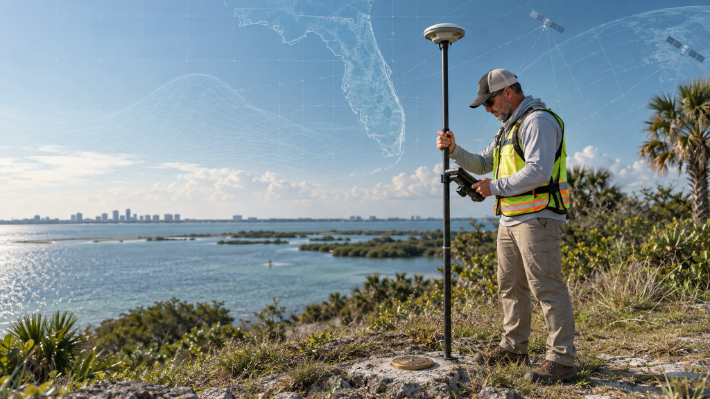
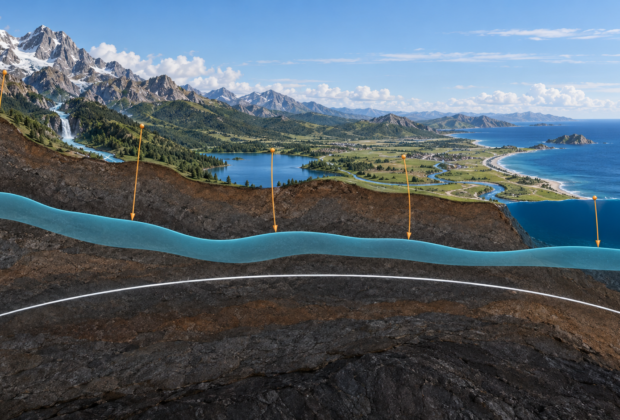
GNSS measures height above a mathematical ellipsoid, but practical elevation depends on gravity, the geoid, and a physical definition of level.
From the Index
Satellite positioning and its uses in surveying, navigation, and observing a changing Earth.
Measuring the World
GNSS measures height above a mathematical ellipsoid, but practical elevation depends on gravity, the geoid, and a physical definition of level.
Measuring the World
An entry-level, field-to-office guide to NATRF2022, NAPGD2022, SPCS2022, epochs, height modernization, and preparing survey workflows for the modernized National Spatial Reference System.
Measuring the World
How NAD 83 evolved through the 1986 adjustment, 83/90-era networks, HARN, FBN, CORS96, NSRS2007, and NAD 83(2011)—and how NAVD 88 replaced NGVD 29.
Engineering & Infrastructure
How hydrography, deformation monitoring, as-builts, and modern geospatial control support an operating and expanding canal.
Measuring the World
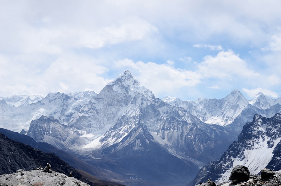
Why modern Everest measurements depend on GNSS, gravity, snow depth, reference frames, and a clear definition of height.