Measuring the World
Why Elevation Follows Gravity: The Geoid Beneath Every Height
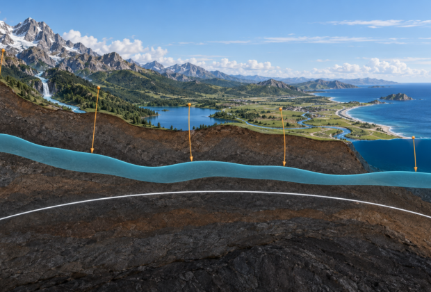
GNSS measures height above a mathematical ellipsoid, but practical elevation depends on gravity, the geoid, and a physical definition of level.
From the Index
The gravity-based models that help connect satellite heights with physical elevation.
Measuring the World
GNSS measures height above a mathematical ellipsoid, but practical elevation depends on gravity, the geoid, and a physical definition of level.
Measuring the World
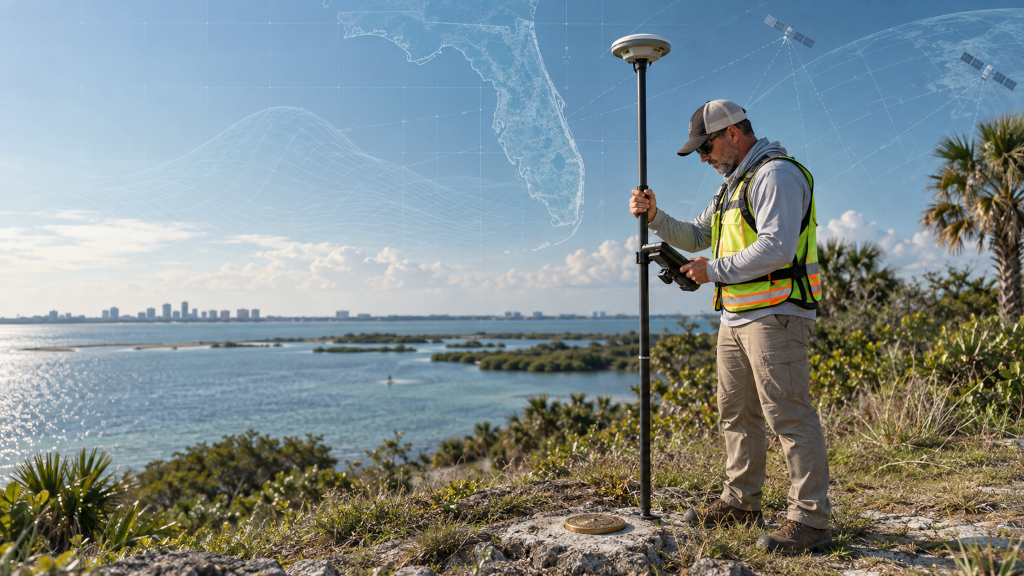
An entry-level, field-to-office guide to NATRF2022, NAPGD2022, SPCS2022, epochs, height modernization, and preparing survey workflows for the modernized National Spatial Reference System.
Measuring the World
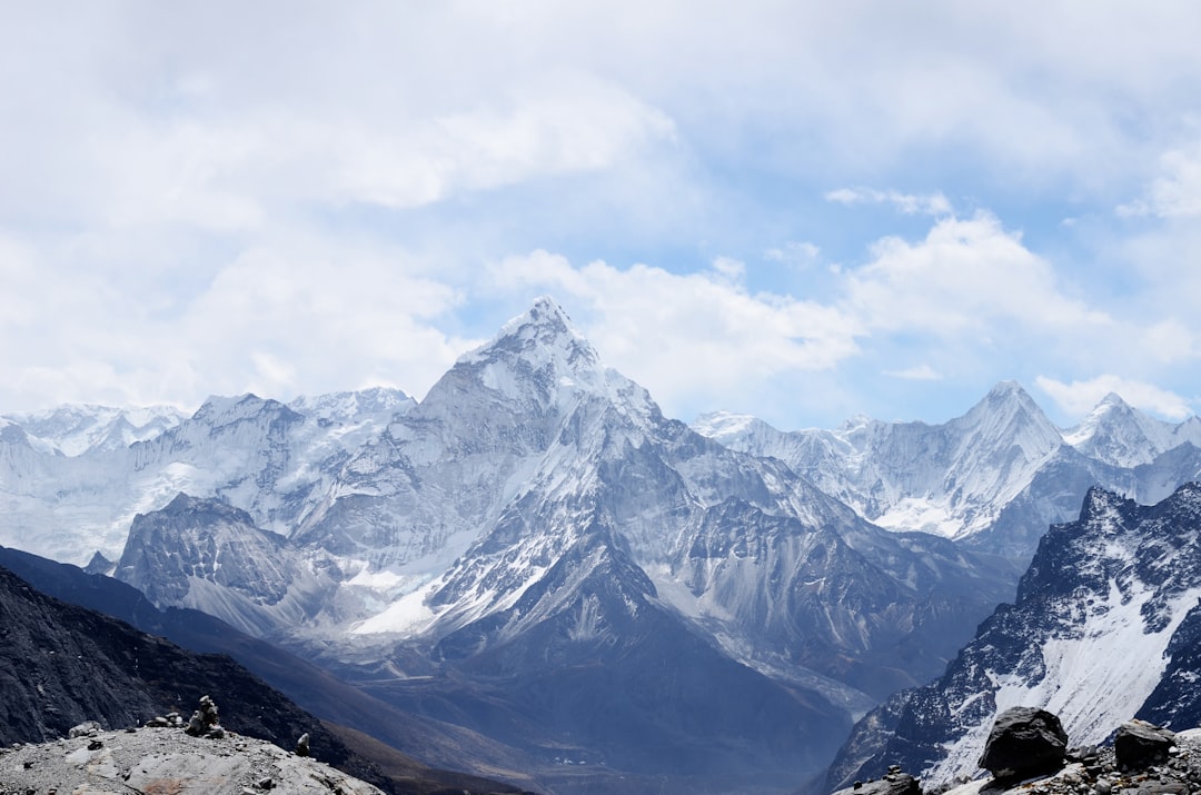
Why modern Everest measurements depend on GNSS, gravity, snow depth, reference frames, and a clear definition of height.
Measuring the World
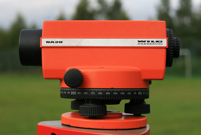
Establishing height has always required a definition of level, a reliable sight line, and a path of observations strong enough to reveal accumulated error.