
Maps & Mapping
Surveying Beneath Ice: Mapping Continents Hidden From View
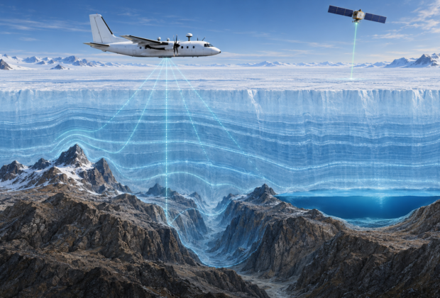
Airborne radar, satellite altimetry, GNSS, gravity, and decades of field surveys reveal the mountains, canyons, lakes, and basins concealed beneath continental ice.
From the Index
Stories about how measurement and mapping help reveal changes in ice, water, and landscapes.
Maps & Mapping
Airborne radar, satellite altimetry, GNSS, gravity, and decades of field surveys reveal the mountains, canyons, lakes, and basins concealed beneath continental ice.