
Maps & Mapping
Surveying Beneath Ice: Mapping Continents Hidden From View
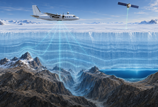
Airborne radar, satellite altimetry, GNSS, gravity, and decades of field surveys reveal the mountains, canyons, lakes, and basins concealed beneath continental ice.
From the Index
Reports, histories, and working notes filed under this subject.
Maps & Mapping
Airborne radar, satellite altimetry, GNSS, gravity, and decades of field surveys reveal the mountains, canyons, lakes, and basins concealed beneath continental ice.