

Engineering & Infrastructure
Surveying the Iron Road, Part 1: How Early American Railroads Found a Line
How reconnaissance, profiles, curves, grades, and maps turned proposed railroads into buildable routes.
On This Page
- 01 — Introduction
- 02 — Find a Corridor Before Setting a Centerline
- 03 — A Profile Makes the Climb Visible
- 04 — A Closer Look: One Percent Is Not Flat
- 05 — Curves Trade Distance for a Gentler Route
- 06 — Crossings Can Decide the Route
- 07 — A Map Can Promise More Than a Railway Delivers
- 08 — The Route Becomes a Record
- 09 — Sources and Further Reading
Series: Surveying the Iron Road
The shortest line between two towns is rarely the cheapest railroad. A direct route may climb too quickly, cross a river at the wrong place, or demand a tunnel that overwhelms the project’s finances. Early railroad location was a search for a line that a locomotive could use and a company could afford to build.
Surveyors had to describe the country in more than plan view. The line on the map showed where a railway might go; its profile showed whether it could get there. Those two drawings had to agree before a promising route became a workable one.
Find a Corridor Before Setting a Centerline
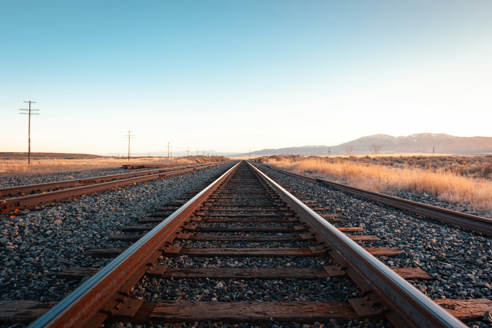
Photograph by Jake Weirick, used under the Unsplash License.
Reconnaissance narrowed the possibilities. Valleys, low passes, and river crossings suggested corridors worth examining. Existing roads and local knowledge could guide the search, but a road suitable for a wagon was not necessarily suitable for a locomotive hauling a train. A short steep climb might be tolerable for one and an expensive operating obstacle for the other.
The Library of Congress history traces early railroad mapping through projects such as John Thomson’s 1809 survey for Thomas Leiper’s quarry tramroad and James Hayward’s 1828 Boston and Providence proposal. These were specific transportation problems, not lines drawn across an empty map in anticipation of steam travel everywhere.
A Profile Makes the Climb Visible
Once a corridor looked promising, crews measured directions and distances along candidate lines and carried elevations through them with leveling. Plotting elevation against distance produced a longitudinal profile: a side view of the country along the route. Cross sections described the ground to either side. Together, the drawings helped estimate how much earth would have to be removed from cuts and placed in fills.
This changed the meaning of a hill. On a general map it was a shape or a shaded patch. On the profile it became a rise over a measured distance. An engineer could compare a longer, gentler route with a shorter, steeper one and attach quantities to the choice.
A Closer Look: One Percent Is Not Flat
A 1 percent grade rises 1 foot for every 100 feet of horizontal travel. Over a mile, that is 52.8 feet of rise (16.1 meters over 1.61 kilometers). At 2 percent, the rise is 105.6 feet (32.2 meters). These are illustrative grades, not limits for every railroad. Doubling the grade approximately doubles the component of weight pulling a train downhill; it does not simply double every part of the operating problem.
Curves Trade Distance for a Gentler Route
A line can lengthen its path to gain elevation more gradually, but curves introduce their own restrictions. The radius controls how sharply the track turns. A curve also needs room for its approaches, and its location affects nearby bridges, cuts, and property. Moving one tangent can alter several connected pieces of the design.
The surveyor translates the chosen geometry into points a construction crew can recover. A centerline stake is useful only with its station, offset or reference ties, and grade information. Once excavation begins, the original point may disappear; reference points outside the work let the line be put back.
Crossings Can Decide the Route
A favorable river crossing may justify a detour, while an unstable bank or difficult bridge approach can defeat an otherwise attractive alignment. A tunnel makes the relationship between direction and height even more demanding. If work advances from two portals, the crews need a common reference before they can expect the headings to meet.
This is why route surveying is not finished when a line looks good on paper. Detailed work at a major structure can expose a problem that sends the alignment back to the drawing board. The process moves between broad comparison and close measurement.
A Map Can Promise More Than a Railway Delivers
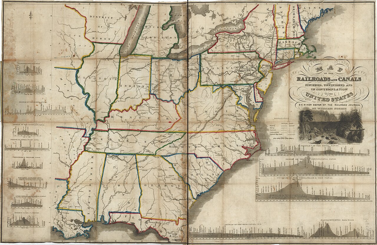
William Norris and Daniel K. Minor; Library of Congress. Public domain. Source. Resized by WordPress. View this map in the Map Archive.
The 1834 map shown here separates railroads and canals that were finished, unfinished, or merely contemplated. That distinction is the most important thing to read before following any line across the sheet. An investor, traveler, and construction engineer could all look at a railroad map and need very different answers from it.
An engineering location map commits to a particular relationship with the terrain. A general or promotional map may emphasize connections and economic prospects. Neither should be mistaken for the other. The Library of Congress catalog preserves this map’s identity so we can place its ambitions in their own time.
The Route Becomes a Record
A well-located railroad is a compromise made visible in earthwork and steel. Its surviving plans let us recover why a line follows a valley, bends away from a town, or reaches a ridge through a long approach. The next installment takes that problem across the continent, where route choice also became a contest over money, labor, and national power.
Sources and Further Reading
Library of Congress: The Beginnings of American Railroads and Mapping