
Series: Surveying the Panama Canal
Completion did not end surveying at the Panama Canal. Channels shoal, slopes move, structures settle, vessels grow, equipment changes, and expansions must connect new work to an operating system whose records span generations.
A living canal is a four-dimensional asset. Geometry has a date and condition. Modern surveyors must relate legacy stationing and local control to current datums while preserving the design history operators still use.
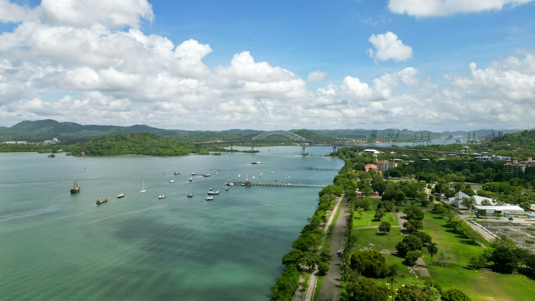
Photo by Sol Cerrud / Unsplash. Used under the Unsplash License. Source.
Hydrographic Surveying of Channels
Navigation channels require repeated soundings to detect shoaling, confirm dredging, and maintain safe depth. Modern multibeam sonar produces dense bottom models tied to position and water level.
A sounding is incomplete without horizontal reference, vertical datum, sound-speed correction, time, and quality metadata.
Hydrographic Surveying of Channels belonged to a measurement chain. Reconnaissance, triangulation, traverses, precise leveling, construction staking, hydrography, quantity surveys, and deformation monitoring became reliable only when crews connected observations to control, applied corrections, checked independent evidence, and preserved records. A finished plan hides much of that labor, so the surveyor should read backward from product to field procedure.
Dredging and Quantity
Pre- and post-dredge surfaces support volume calculation and verify that required templates are achieved. Bottom uncertainty can dominate quantity when spread over large areas.
Dense data does not eliminate systematic bias. Calibration, overlap checks, surface cleaning rules, and uncertainty reporting matter.
The environment was part of the instrument. In tropical rain, dense vegetation, steep cuts, rivers, unstable excavation, disease, and an active international shipping corridor, weather, terrain, access, visibility, transport, and fatigue limited what could be built and observed. Good procedures were designed for those limits rather than copied from ideal conditions.
Deformation and Slope Movement
Excavated slopes and large structures may require monitoring by total stations, GNSS, levels, inclinometers, or remote sensing. Trends are more important than isolated coordinates.
Monitoring design begins with expected movement, alert thresholds, reference stability, observation interval, and a response plan.
French companies, the Isthmian Canal Commission, the Panama Canal organization, contractors, engineers, and government survey parties supplied standards, authority, computation, and archives. It also decided which routes or properties mattered. Infrastructure maps are therefore technical records and expressions of public or corporate power at the same time.
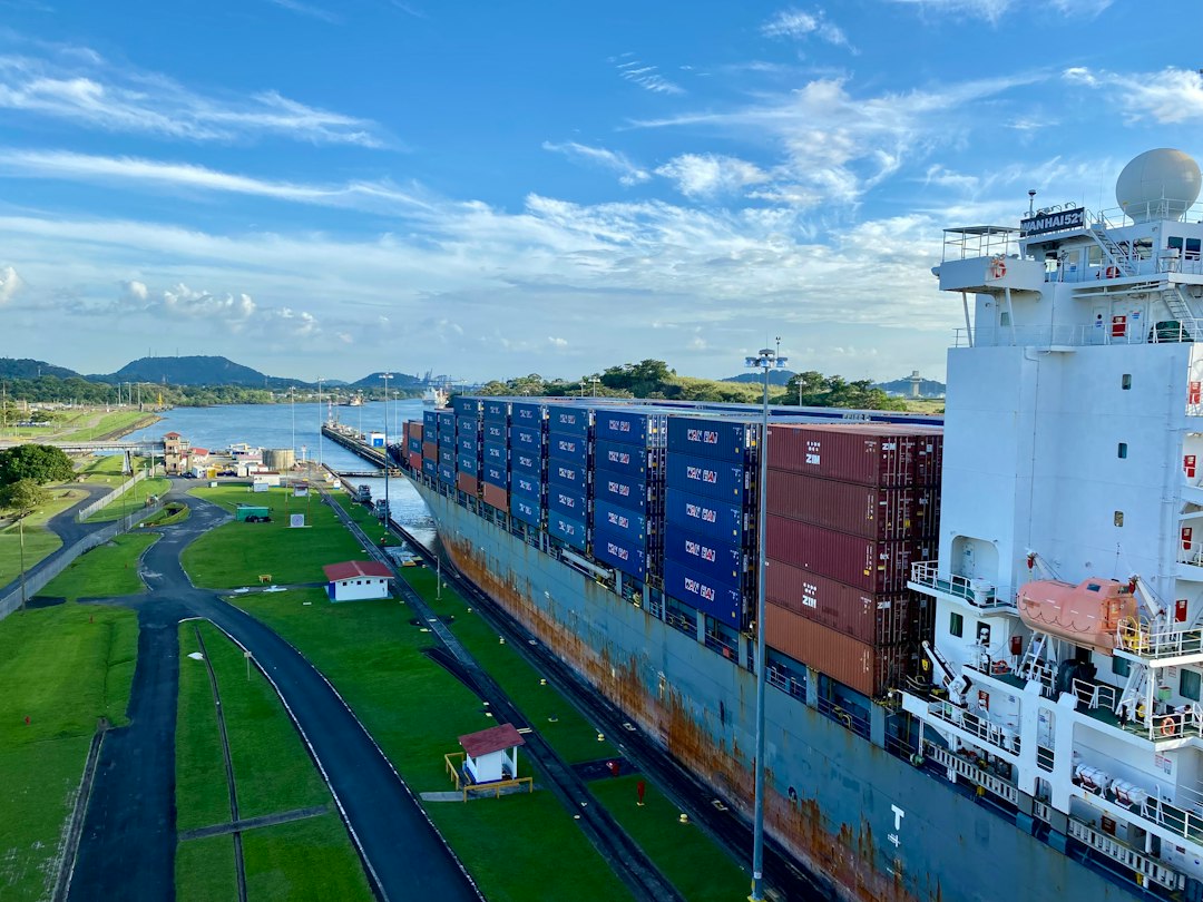
Photo by Rikin Katyal / Unsplash. Used under the Unsplash License. Source.
Expansion Interfaces
New locks and channels must connect physically and operationally with existing elevations, alignments, utilities, roads, and navigation systems.
Interface surveys demand careful transformation between legacy and modern coordinate systems. Residuals should be understood, not hidden.
The error budget included route reconnaissance, baseline and traverse scale, leveling, settlement, excavation quantities, curve and grade staking, water level, and local coordinate transformations. Some effects accumulated gradually; others produced immediate blunders. Repetition, closure, calibration, balanced geometry, and independent surveys were different tools for different risks.
Asset Records and Digital Models
An operating authority needs authoritative geometry for structures, utilities, parcels, channels, and maintenance. GIS and models organize information but inherit the quality of their source surveys.
A digital twin is not automatically a survey record. Each feature needs lineage, accuracy class, date, and ownership.
GNSS control, robotic total stations, scanning, deformation monitoring, hydrography, machine guidance, and asset GIS inherits the same logic. Digital sensors accelerate collection, yet design coordinates, datums, transformations, quality control, and as-built evidence still determine whether information can be trusted across disciplines.
Climate, Water, and Future Operations
Drought, intense rainfall, sea level, sediment, and changing ship dimensions affect canal operation. Geospatial monitoring supports decisions that combine hydrology, infrastructure, and navigation.
The surveyor’s role expands when geometry is integrated with time-dependent environmental data.
Primary records should be read in layers. Reconnaissance maps show alternatives, location surveys define a choice, construction records control work, and valuation or right-of-way maps serve legal and administrative purposes. They may depict the same corridor while answering different questions.
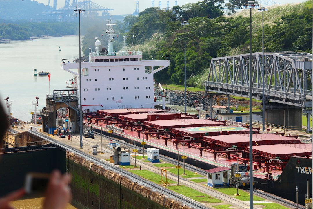
Photo by Brian J. Tromp / Unsplash. Used under the Unsplash License. Source.
What the Modern Surveyor Can Carry Forward
Modern canal surveying is less visible than original excavation but equally essential. Safe operation depends on repeated, traceable measurement of water, structures, slopes, and channels.
The canal’s survey history spans reconnaissance, construction, and continuous asset management—an unusually complete example of geomatics across an infrastructure life cycle.
One useful exercise is to select a short segment of surveying and construction of the Panama Canal and reconstruct its survey sequence: reconnaissance, preliminary control, design survey, staking, as-built measurement, and later maintenance. The same ground can produce several legitimate surveys because each phase has a different decision to support.
Historical units and stationing demand care. A station number is a project coordinate, not necessarily a monument; a milepost may reflect an operational convention; an elevation may belong to a superseded datum. Curves, spirals, grades, and offsets may be recorded in notation unfamiliar to a modern field crew.
Photographs are especially persuasive and especially easy to misuse. Construction scenes may not show the survey operation described in the text. This series uses openly licensed contemporary photographs as visual context and links documentary claims to institutional sources.
Infrastructure history is strongest when engineering reports are compared with maps, contracts, photographs, labor records, and later maintenance files. Each source reveals a different layer of the project and a different definition of completion.
Surveyors often inherit infrastructure whose original control is damaged, buried, renumbered, or expressed in a local coordinate system. Recovery begins with records and physical evidence, followed by a transformation plan that preserves the distinction between original design geometry and present observations.
surveying and construction of the Panama Canal became durable because measurements were turned into an operational record. Alignment sheets, profiles, monument descriptions, right-of-way plans, benchmarks, and as-builts let later crews repair and expand systems without treating every project as new ground.
One useful exercise is to select a short segment of surveying and construction of the Panama Canal and reconstruct its survey sequence: reconnaissance, preliminary control, design survey, staking, as-built measurement, and later maintenance. The same ground can produce several legitimate surveys because each phase has a different decision to support.
Historical units and stationing demand care. A station number is a project coordinate, not necessarily a monument; a milepost may reflect an operational convention; an elevation may belong to a superseded datum. Curves, spirals, grades, and offsets may be recorded in notation unfamiliar to a modern field crew.
Photographs are especially persuasive and especially easy to misuse. Construction scenes may not show the survey operation described in the text. This series uses openly licensed contemporary photographs as visual context and links documentary claims to institutional sources.
Infrastructure history is strongest when engineering reports are compared with maps, contracts, photographs, labor records, and later maintenance files. Each source reveals a different layer of the project and a different definition of completion.
Surveyors often inherit infrastructure whose original control is damaged, buried, renumbered, or expressed in a local coordinate system. Recovery begins with records and physical evidence, followed by a transformation plan that preserves the distinction between original design geometry and present observations.
surveying and construction of the Panama Canal became durable because measurements were turned into an operational record. Alignment sheets, profiles, monument descriptions, right-of-way plans, benchmarks, and as-builts let later crews repair and expand systems without treating every project as new ground.
One useful exercise is to select a short segment of surveying and construction of the Panama Canal and reconstruct its survey sequence: reconnaissance, preliminary control, design survey, staking, as-built measurement, and later maintenance. The same ground can produce several legitimate surveys because each phase has a different decision to support.
Historical units and stationing demand care. A station number is a project coordinate, not necessarily a monument; a milepost may reflect an operational convention; an elevation may belong to a superseded datum. Curves, spirals, grades, and offsets may be recorded in notation unfamiliar to a modern field crew.
Photographs are especially persuasive and especially easy to misuse. Construction scenes may not show the survey operation described in the text. This series uses openly licensed contemporary photographs as visual context and links documentary claims to institutional sources.
Infrastructure history is strongest when engineering reports are compared with maps, contracts, photographs, labor records, and later maintenance files. Each source reveals a different layer of the project and a different definition of completion.
Surveyors often inherit infrastructure whose original control is damaged, buried, renumbered, or expressed in a local coordinate system. Recovery begins with records and physical evidence, followed by a transformation plan that preserves the distinction between original design geometry and present observations.
surveying and construction of the Panama Canal became durable because measurements were turned into an operational record. Alignment sheets, profiles, monument descriptions, right-of-way plans, benchmarks, and as-builts let later crews repair and expand systems without treating every project as new ground.
One useful exercise is to select a short segment of surveying and construction of the Panama Canal and reconstruct its survey sequence: reconnaissance, preliminary control, design survey, staking, as-built measurement, and later maintenance. The same ground can produce several legitimate surveys because each phase has a different decision to support.
Historical units and stationing demand care. A station number is a project coordinate, not necessarily a monument; a milepost may reflect an operational convention; an elevation may belong to a superseded datum. Curves, spirals, grades, and offsets may be recorded in notation unfamiliar to a modern field crew.
Photographs are especially persuasive and especially easy to misuse. Construction scenes may not show the survey operation described in the text. This series uses openly licensed contemporary photographs as visual context and links documentary claims to institutional sources.
Infrastructure history is strongest when engineering reports are compared with maps, contracts, photographs, labor records, and later maintenance files. Each source reveals a different layer of the project and a different definition of completion.
Surveyors often inherit infrastructure whose original control is damaged, buried, renumbered, or expressed in a local coordinate system. Recovery begins with records and physical evidence, followed by a transformation plan that preserves the distinction between original design geometry and present observations.
surveying and construction of the Panama Canal became durable because measurements were turned into an operational record. Alignment sheets, profiles, monument descriptions, right-of-way plans, benchmarks, and as-builts let later crews repair and expand systems without treating every project as new ground.
One useful exercise is to select a short segment of surveying and construction of the Panama Canal and reconstruct its survey sequence: reconnaissance, preliminary control, design survey, staking, as-built measurement, and later maintenance. The same ground can produce several legitimate surveys because each phase has a different decision to support.
Historical units and stationing demand care. A station number is a project coordinate, not necessarily a monument; a milepost may reflect an operational convention; an elevation may belong to a superseded datum. Curves, spirals, grades, and offsets may be recorded in notation unfamiliar to a modern field crew.
Photographs are especially persuasive and especially easy to misuse. Construction scenes may not show the survey operation described in the text. This series uses openly licensed contemporary photographs as visual context and links documentary claims to institutional sources.
Infrastructure history is strongest when engineering reports are compared with maps, contracts, photographs, labor records, and later maintenance files. Each source reveals a different layer of the project and a different definition of completion.
Surveyors often inherit infrastructure whose original control is damaged, buried, renumbered, or expressed in a local coordinate system. Recovery begins with records and physical evidence, followed by a transformation plan that preserves the distinction between original design geometry and present observations.
surveying and construction of the Panama Canal became durable because measurements were turned into an operational record. Alignment sheets, profiles, monument descriptions, right-of-way plans, benchmarks, and as-builts let later crews repair and expand systems without treating every project as new ground.
One useful exercise is to select a short segment of surveying and construction of the Panama Canal and reconstruct its survey sequence: reconnaissance, preliminary control, design survey, staking, as-built measurement, and later maintenance. The same ground can produce several legitimate surveys because each phase has a different decision to support.
Historical units and stationing demand care. A station number is a project coordinate, not necessarily a monument; a milepost may reflect an operational convention; an elevation may belong to a superseded datum. Curves, spirals, grades, and offsets may be recorded in notation unfamiliar to a modern field crew.
Sources and Further Reading
Library of Congress Panama Canal collection