The Journal
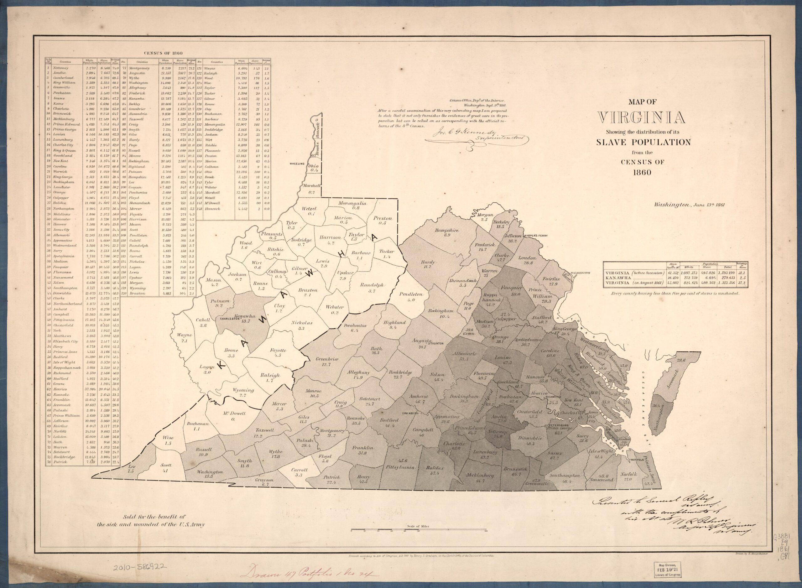
Map of Virginia: showing the distribution of its slave population from the census of 1860
On This Page
- 01 — Introduction
- 02 — Document
- 03 — Metadata
- 04 — Title
- 05 — Description
- 06 — Archive Identifier
- 07 — Creator
- 08 — Date as cataloged
- 09 — Geographic coverage
- 10 — Map type
- 11 — Source institution
- 12 — Source record
- 13 — Rights statement
- 14 — Rights evidence
- 15 — Credit line
- 16 — Curatorial note
- 17 — Original image
- 18 — Attachments