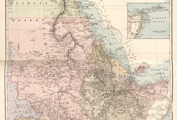
Stanford’s map follows the Nile system from the equatorial lakes to the Mediterranean, placing its tributaries, settlements, railways, and neighboring regions in one view. Color and boundary lines…
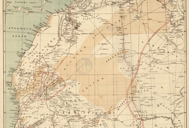
Ravenstein’s map brings desert terrain, settlements, and crossing routes into a single regional view stretching from the Atlantic coast toward the Niger. Red lines distinguish the recorded itineraries…
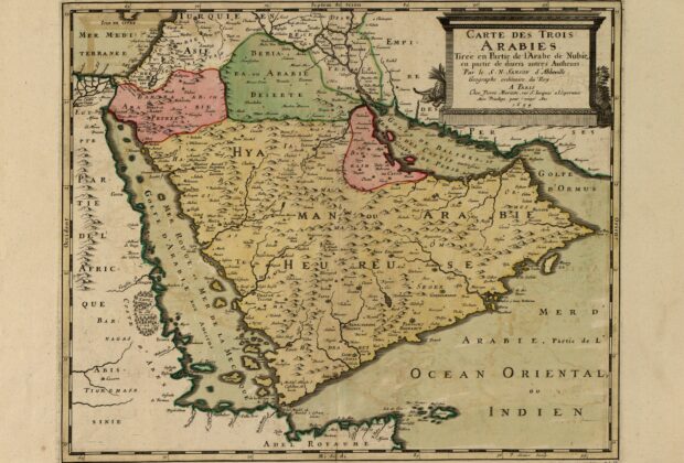
Sanson’s map divides the peninsula into the three Arabias familiar to European historical geography while drawing substantially on al-Idrisi’s medieval geographical tradition. Its pictorial mountains, colored territories, and…