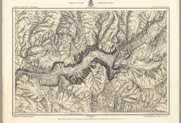
Dense hachures turn the walls of Yosemite Valley into a remarkably tactile landscape. The sheet draws on a topographical plat prepared under the Wheeler survey and names the…
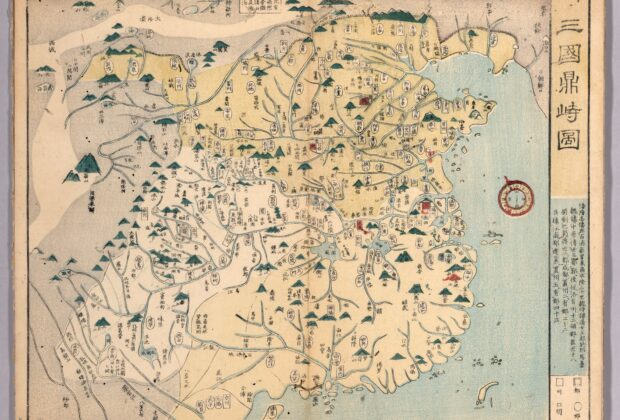
This nineteenth-century Japanese atlas looks backward to China’s Three Kingdoms era. Rather than recording the political world of its own publication date, it maps an earlier division of…
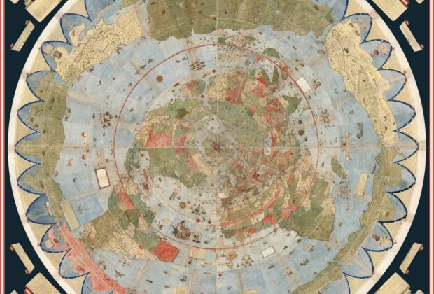
Sixty manuscript sheets radiate outward from the North Pole in Urbano Monte’s ambitious world map. This digital composite brings the separate sheets together with the diagrams and legends…
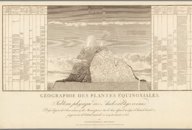
Instead of looking down on a landscape, this sheet looks across its height. Humboldt and Bonpland’s observations become an elevation profile in which plant names and geological information…
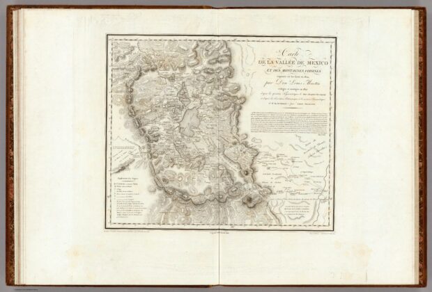
The long title makes this map’s working methods unusually visible. Sketches made in 1804 were revised using triangulation, astronomical observations, and barometric measurements, with several contributors named. Cities,…
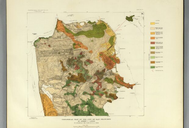
Published with the investigation of the 1906 California earthquake, this map places San Francisco’s streets over ten geological units and identifies the original shoreline. Contours and spot heights…
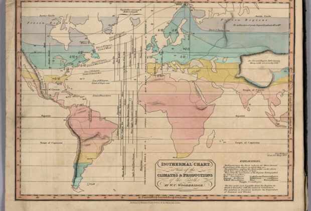
Woodbridge’s chart organizes the world around temperature rather than political borders. Dotted isothermal lines connect places with equal average warmth, and color separates climatic regions associated with different…