
Field Notes
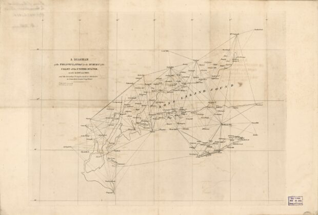
A diagram of the triangulation for the survey of the coast of the United States made in 1817 and 1833: and the secondary triangles made in 1833 & 1834 in Connecticut & upon Long Island
A network of triangles reveals the framework behind coastal mapping. Instead of concentrating on finished shoreline detail, this diagram shows how survey stations were connected across Connecticut, Long…