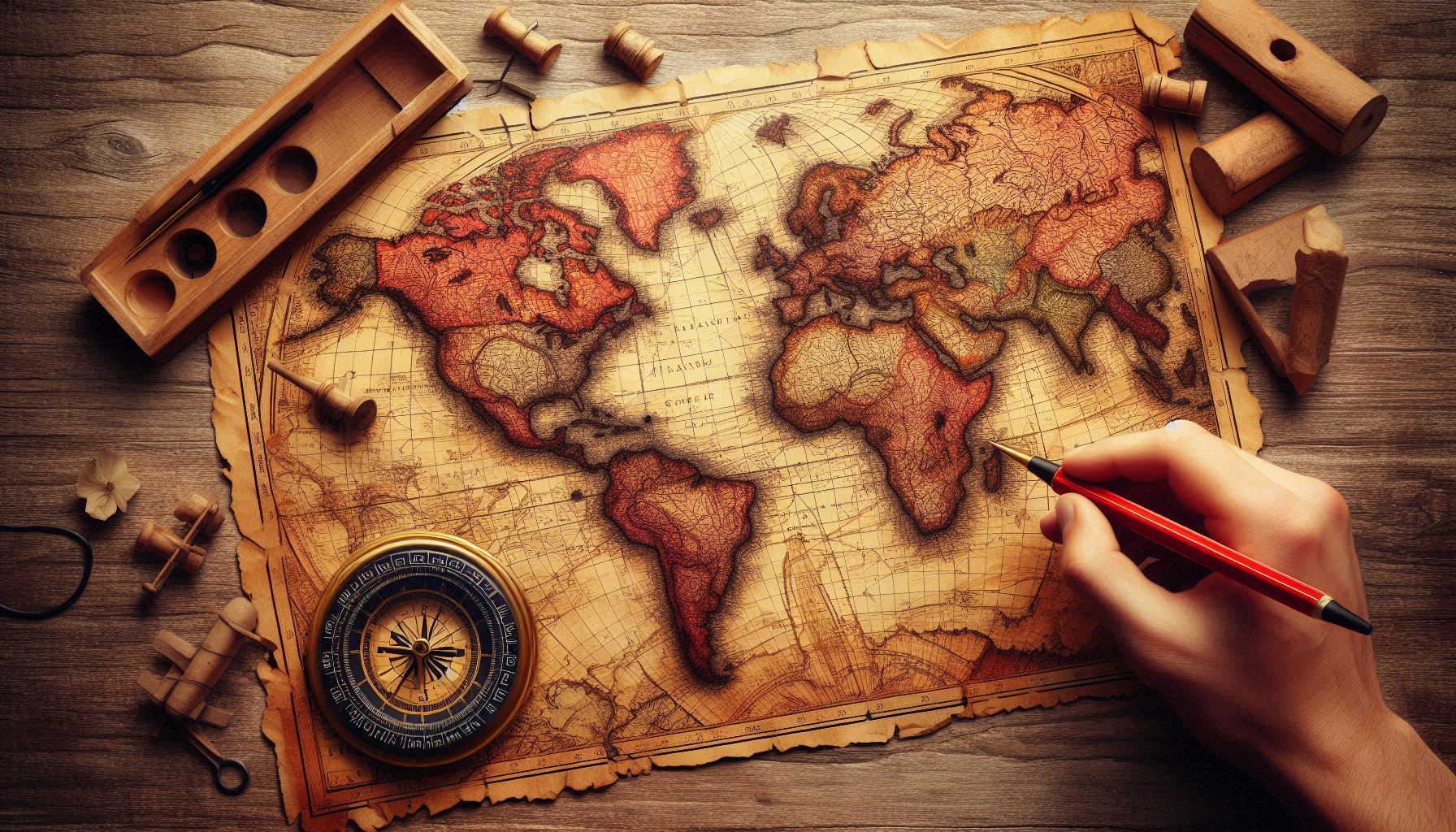
The Beauty of Maps, Land Surveying and the Art of Cartography
Maps have long been a symbol of human curiosity, exploration, and understanding of the world around us. From the earliest depictions of our surroundings etched into stone or painted onto parchment, to the sophisticated digital maps we rely on today, the art of cartography—coupled with the science of land surveying—has shaped our perceptions of space and place. Maps, far from being mere tools for navigation, are expressions of creativity, knowledge, and culture. They reflect the interplay between geography, technology, and artistry, capturing the world in ways that both inform and inspire.
The Art of Cartography: A Visual Language
Cartography is often thought of as the science of making maps, but it is also an art form. The beauty of a well-designed map lies in its ability to convey complex information through carefully considered elements like color, shape, scale, and texture. A map is more than just a guide—it’s a visual representation of a place that tells a story. It’s a record of what we know about the land, a document of history, a way of representing cultural perspectives, and sometimes even an expression of personal creativity.
For centuries, cartographers have been tasked with transforming geographical data into visually compelling representations. Early maps were often artistic interpretations, embellished with illustrations of mythical creatures, decorative borders, and symbols of power. These maps were as much about exploration and discovery as they were about artistic expression. For instance, medieval maps, such as the Mappa Mundi, were less concerned with precise geography than with illustrating the known world as it was understood at the time, often placing religious and mythological elements at the center.
In contrast, modern maps are more utilitarian, designed to serve specific purposes such as navigation, urban planning, or environmental monitoring. Yet, even in this age of precision and technology, there is still an undeniable beauty in the way maps are crafted. Consider the topographic maps that use contour lines to depict elevation, or thematic maps that visualize data like population density or climate patterns. The artistry in these maps can be seen in their thoughtful use of color schemes, typography, and layout, which guide the viewer’s eye and help interpret the information.
The Science of Land Surveying: Measuring the Earth
At the heart of mapmaking lies land surveying—the precise science of measuring and mapping the physical world. Land surveying is an essential practice that has been around for thousands of years, from the earliest Egyptian surveys that helped lay out the pyramids, to the global satellite-based systems used today for mapping the earth’s surface.
Surveyors use a range of tools, from traditional compasses and chains to modern technologies like GPS and laser scanning, to determine the exact positions of points on the land. These measurements are crucial for creating accurate maps, whether for property boundaries, city layouts, or even large-scale geographical features. The precision required in land surveying ensures that the maps we rely on are trustworthy and useful.
Land surveying also has an artistic element. Surveyors often work in challenging environments, where they must take into account the natural beauty of the landscape—hills, rivers, forests—and integrate these elements into their measurements. Their ability to measure and map the land with such accuracy allows for the creation of maps that are not only scientifically precise but also aesthetically pleasing.
The Intersection of Art and Science
What makes maps so captivating is the way they blend science and art. They are products of careful measurements, data collection, and analysis, yet their final form is often one of elegance and visual harmony. This balance between precision and creativity is what has allowed cartography to evolve into both a scientific discipline and a medium for artistic expression.
One of the most striking examples of this intersection is the creation of thematic maps. These maps don’t just show physical geography—they illustrate trends, relationships, and narratives that help us understand complex systems. For example, climate maps use color gradients to represent temperature patterns, while political maps use clear symbols and color coding to distinguish borders and regions. The challenge of designing these maps lies not just in the technical accuracy but in how to convey the information in a visually engaging way that resonates with the viewer.
Even digital maps, such as those used in navigation apps or online mapping services, reflect the beauty of cartography. While they may not be hand-drawn or adorned with ornate decorations, the simplicity and user-friendly design of these maps reveal the cartographer’s skill in organizing information and presenting it in an easily digestible form. The minimalist lines and icons found in digital maps are also part of the aesthetic appeal, emphasizing clarity and utility.
Maps as Cultural Artifacts
Maps are also powerful cultural artifacts. The way a society represents its territory in maps can reveal much about its values, priorities, and understanding of the world. Historical maps, for example, often reflect the worldview of the time in which they were created. Maps from the Age of Exploration frequently emphasize European power and control over the world, while omitting or simplifying indigenous territories. Similarly, ancient maps sometimes placed the most important cities or regions at the center, reflecting the geographical and cultural biases of the mapmaker.
In the digital age, interactive maps allow users to engage with the world in new and innovative ways, reshaping how we perceive our environment. From the use of GIS (Geographic Information Systems) in environmental conservation to online platforms like Google Maps that allow us to explore any corner of the globe from our fingertips, maps continue to evolve in form and function.
The Enduring Appeal of Maps
Despite the technological advances that have revolutionized the way we navigate and understand space, maps retain their allure. They continue to captivate us with their ability to synthesize vast amounts of information and present it in a way that is both functional and visually beautiful. Whether it’s a hand-drawn map of a fantastical world or a high-tech digital map of a bustling metropolis, the beauty of maps lies in their ability to connect us with the world around us—physically, emotionally, and intellectually.
Maps are not just tools for getting from point A to point B—they are windows into the human experience, reflecting our exploration of the world and our quest for understanding. They are timeless works of art, combining the precision of science with the creativity of human expression. In every map, there is a story to be told, a history to be uncovered, and a beauty waiting to be appreciated.
In the end, the beauty of maps, land surveying, and cartography lies in their power to transform the complex and vast world into something we can grasp, explore, and appreciate. Through their intricate details and artistic flair, they remind us of the vastness of the earth—and our place within it.
(yes, this was written by ChatGPT with prompts by me)


